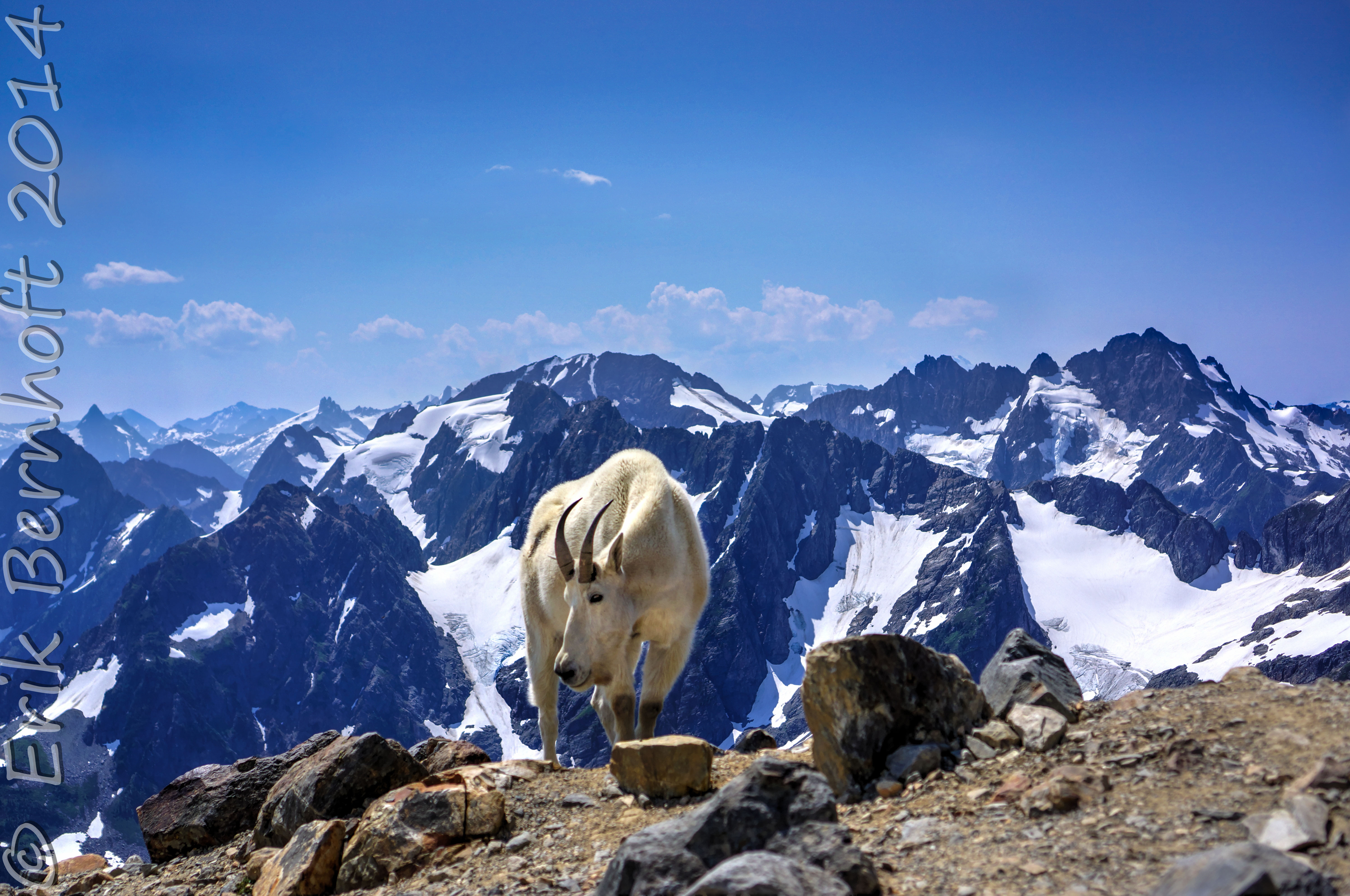
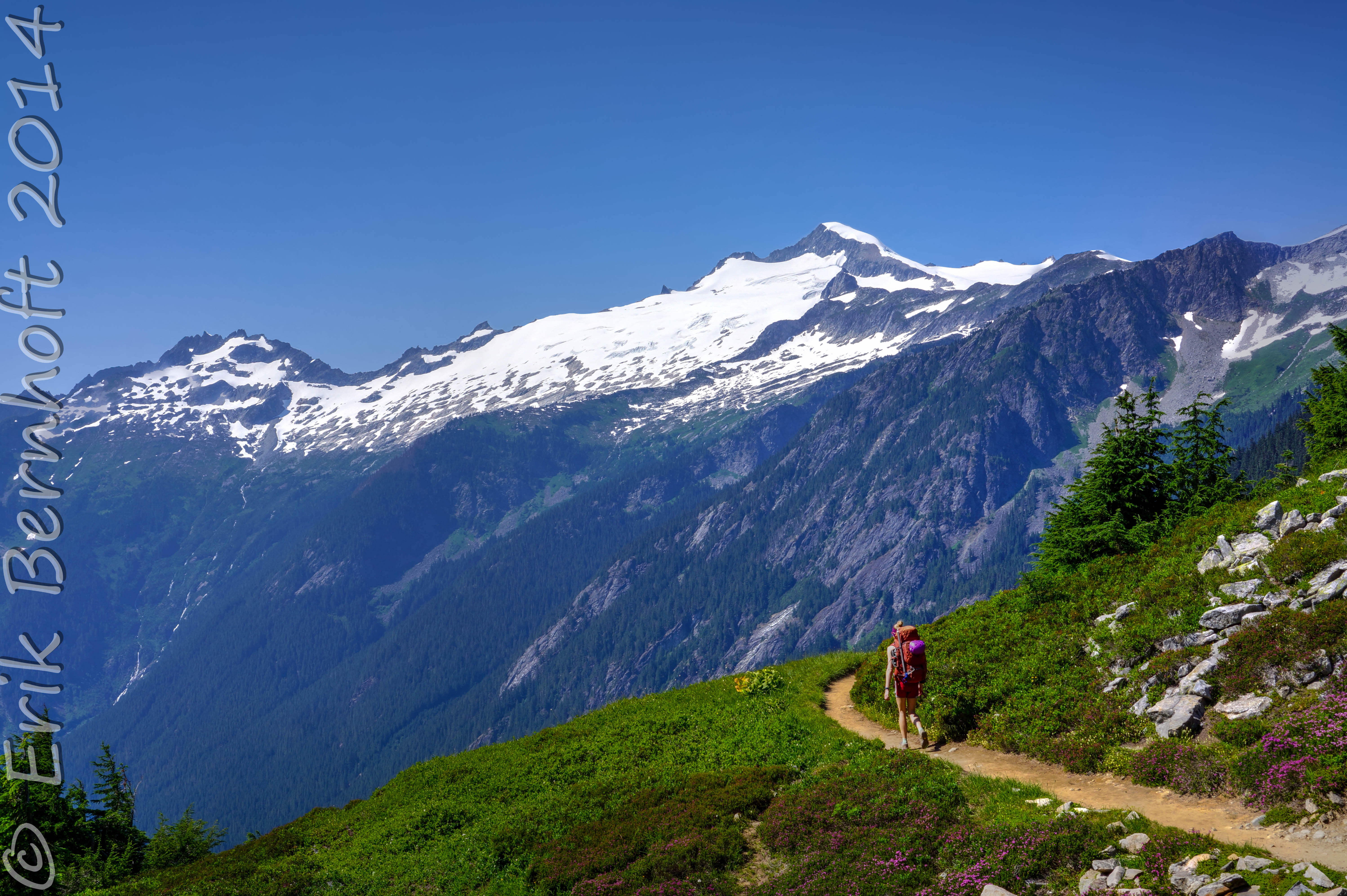
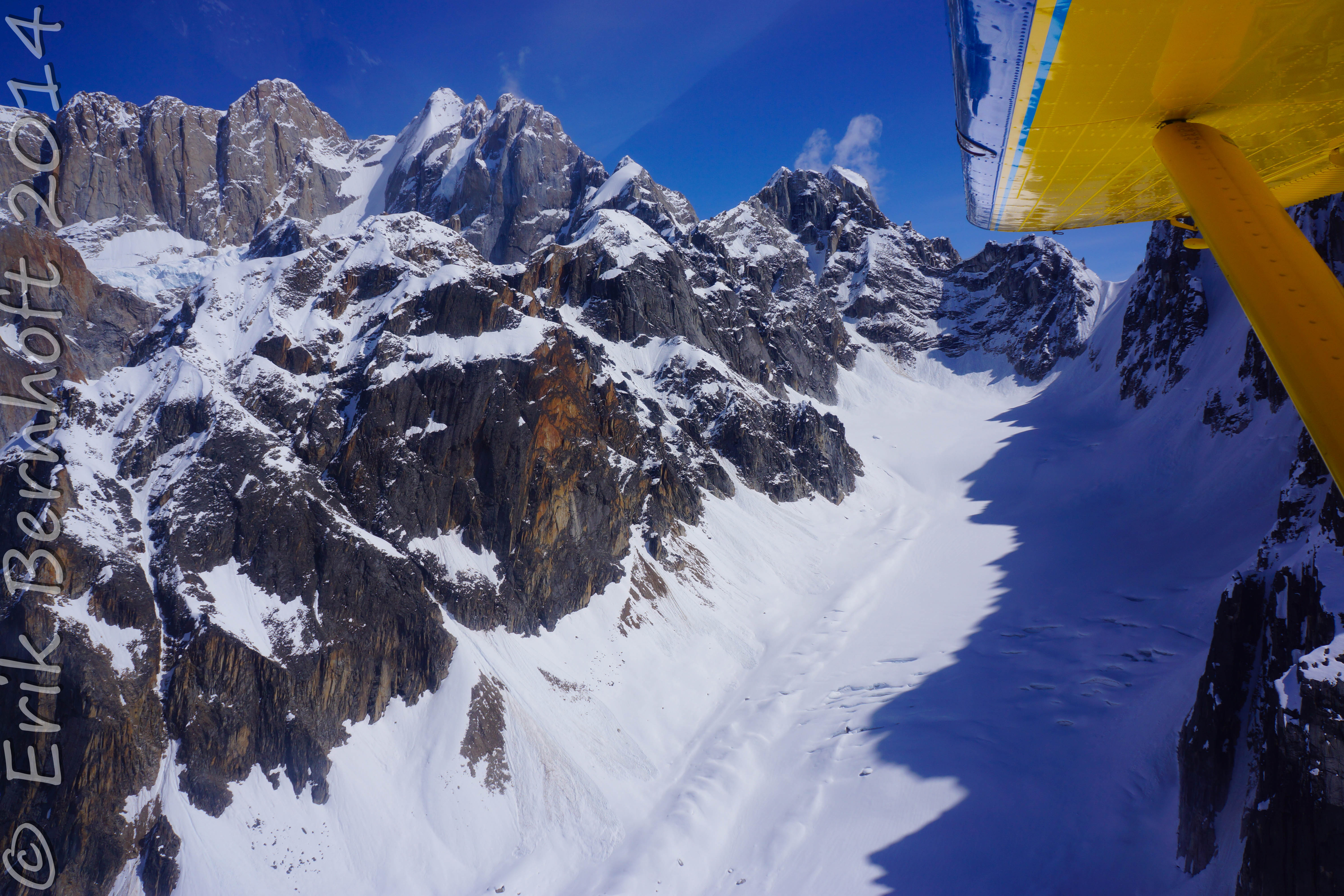
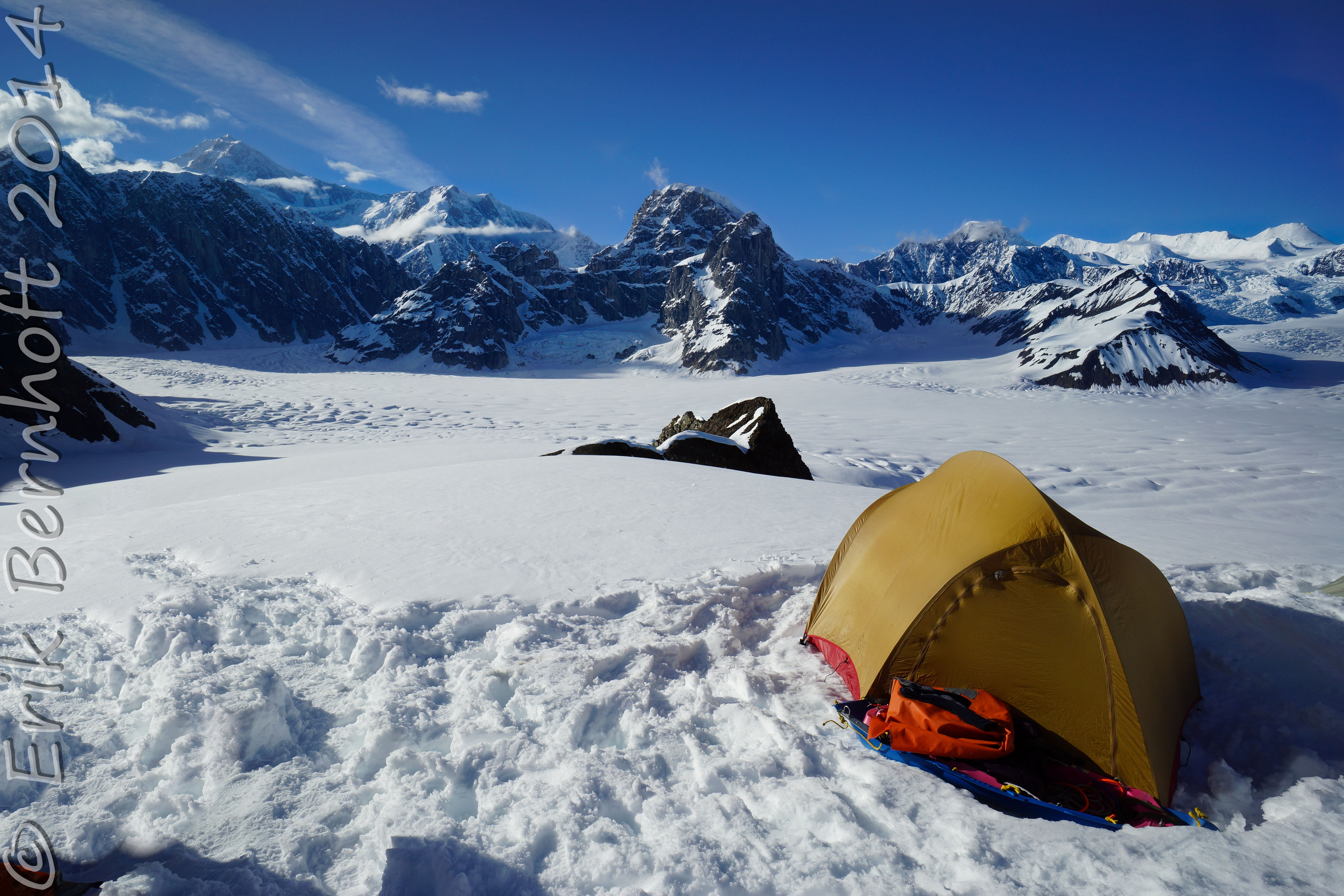
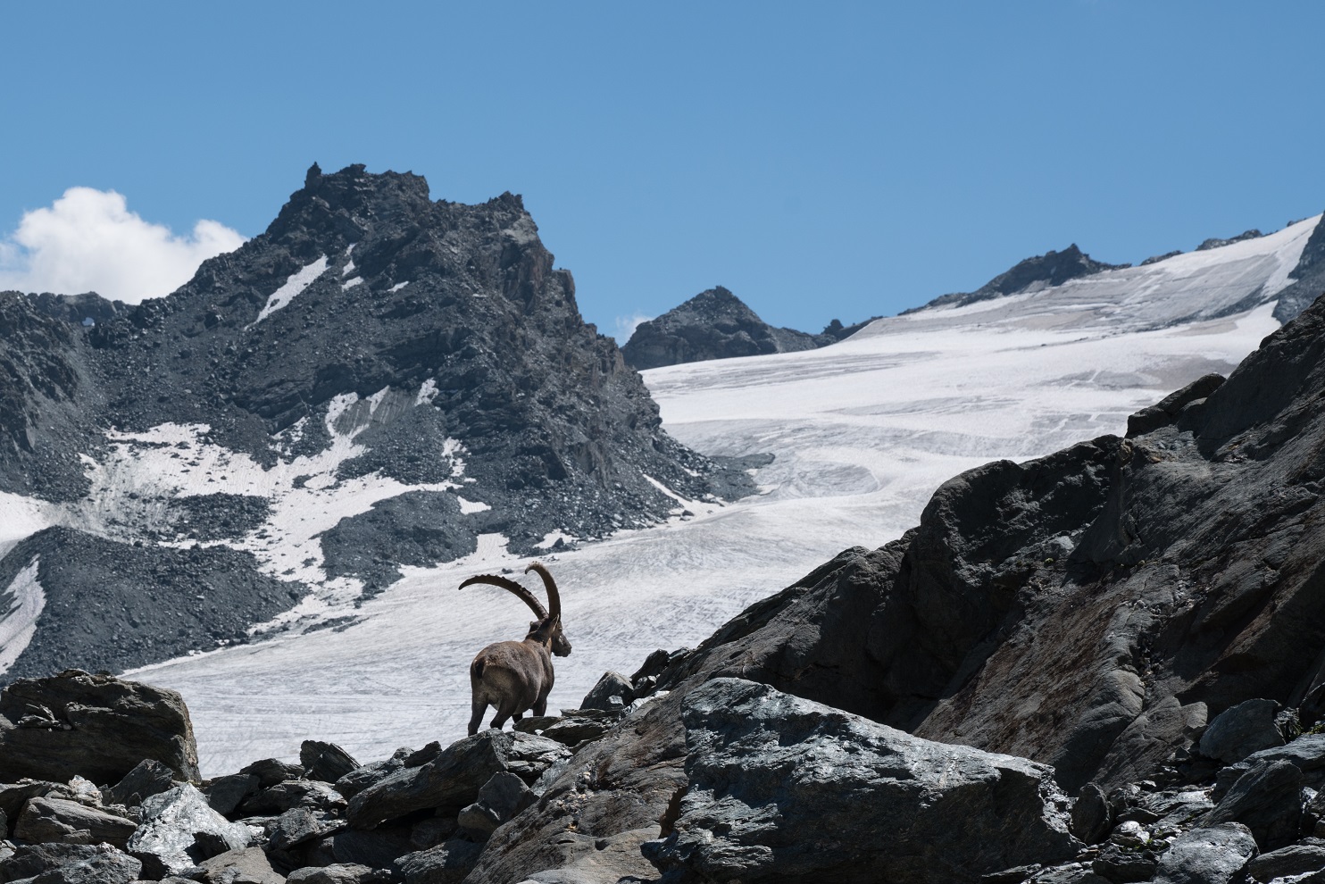
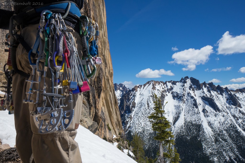
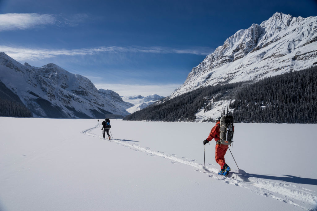
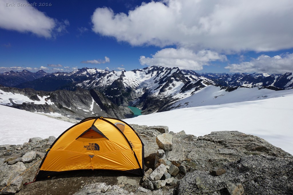
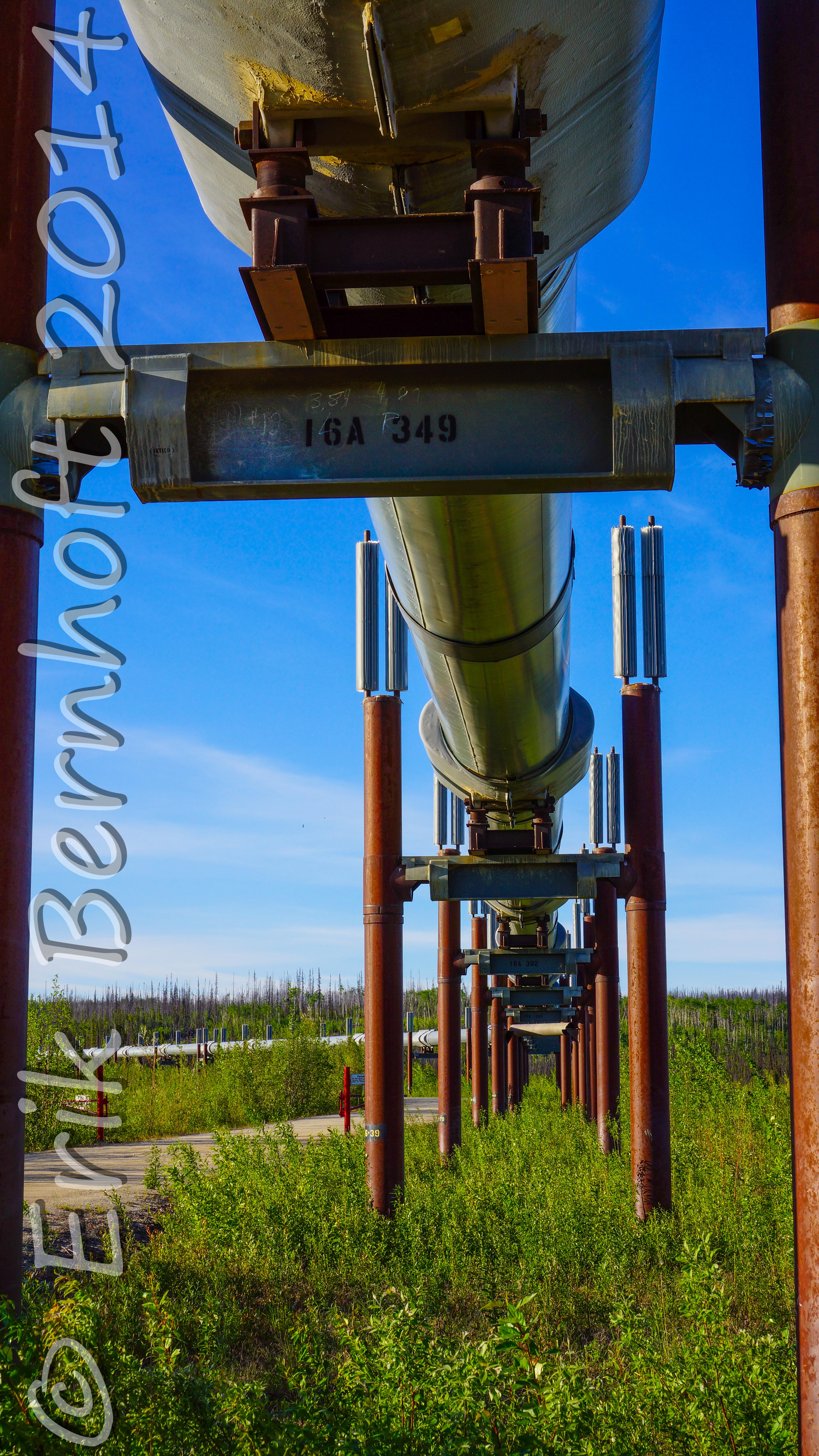
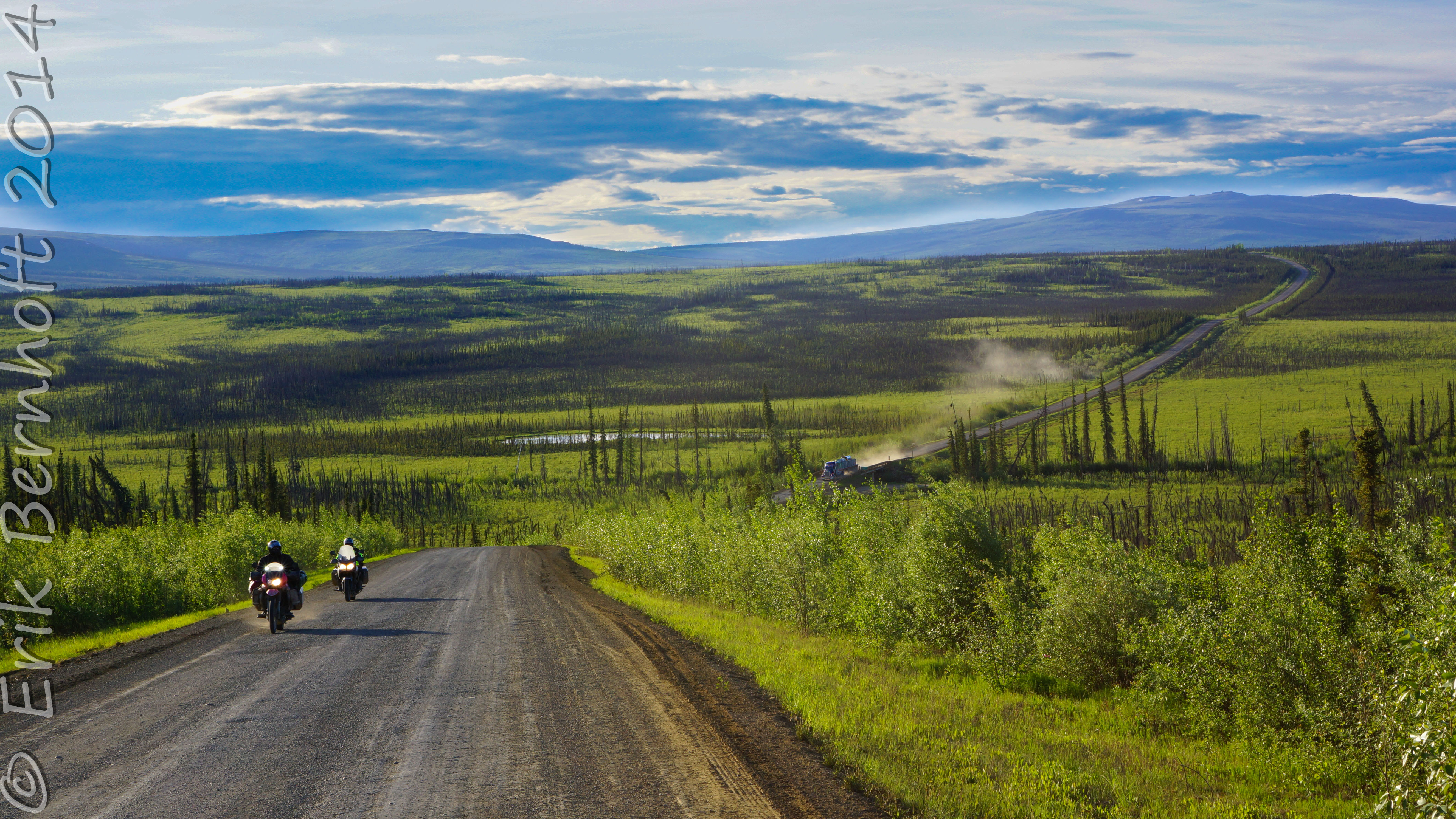
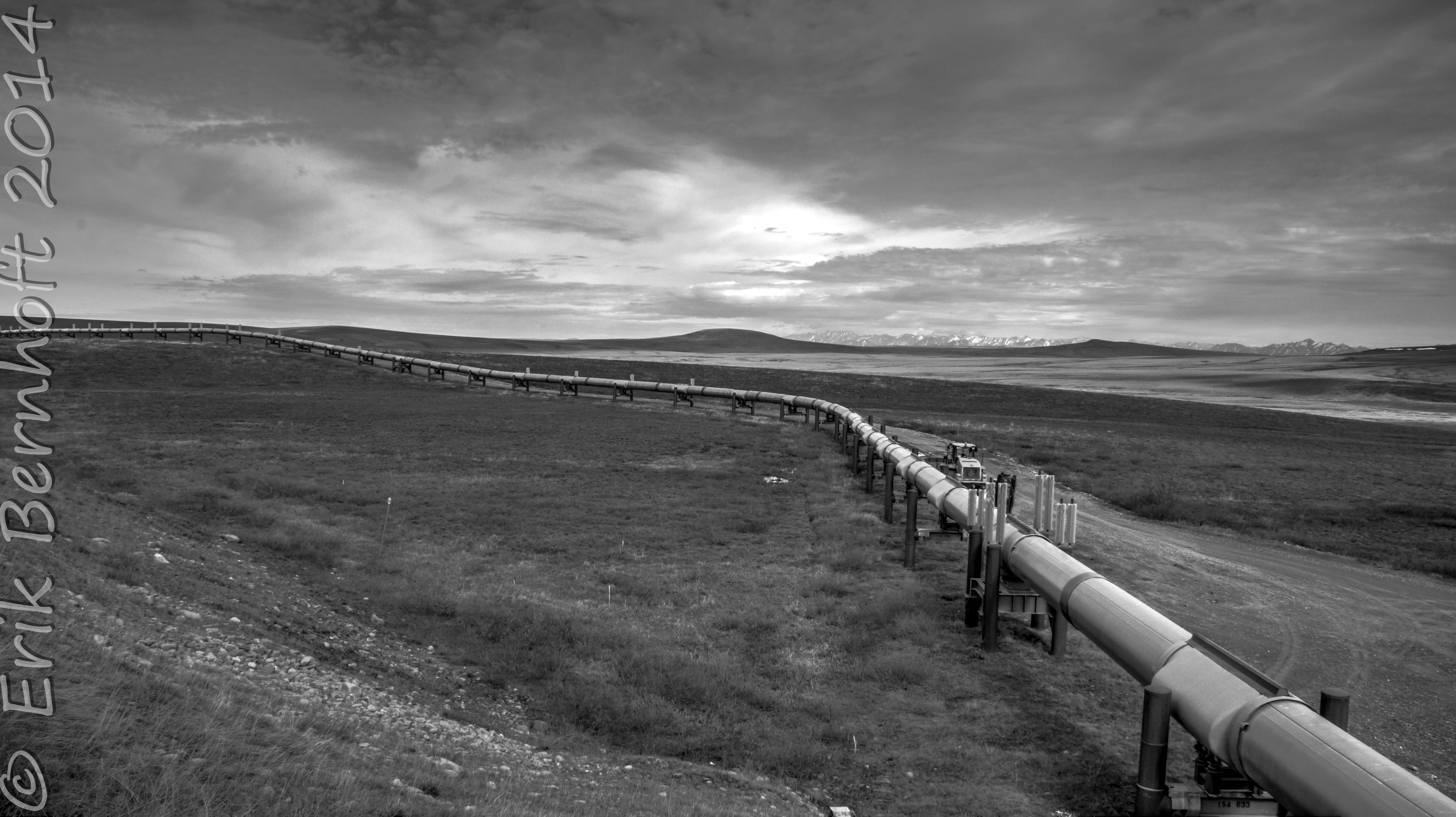
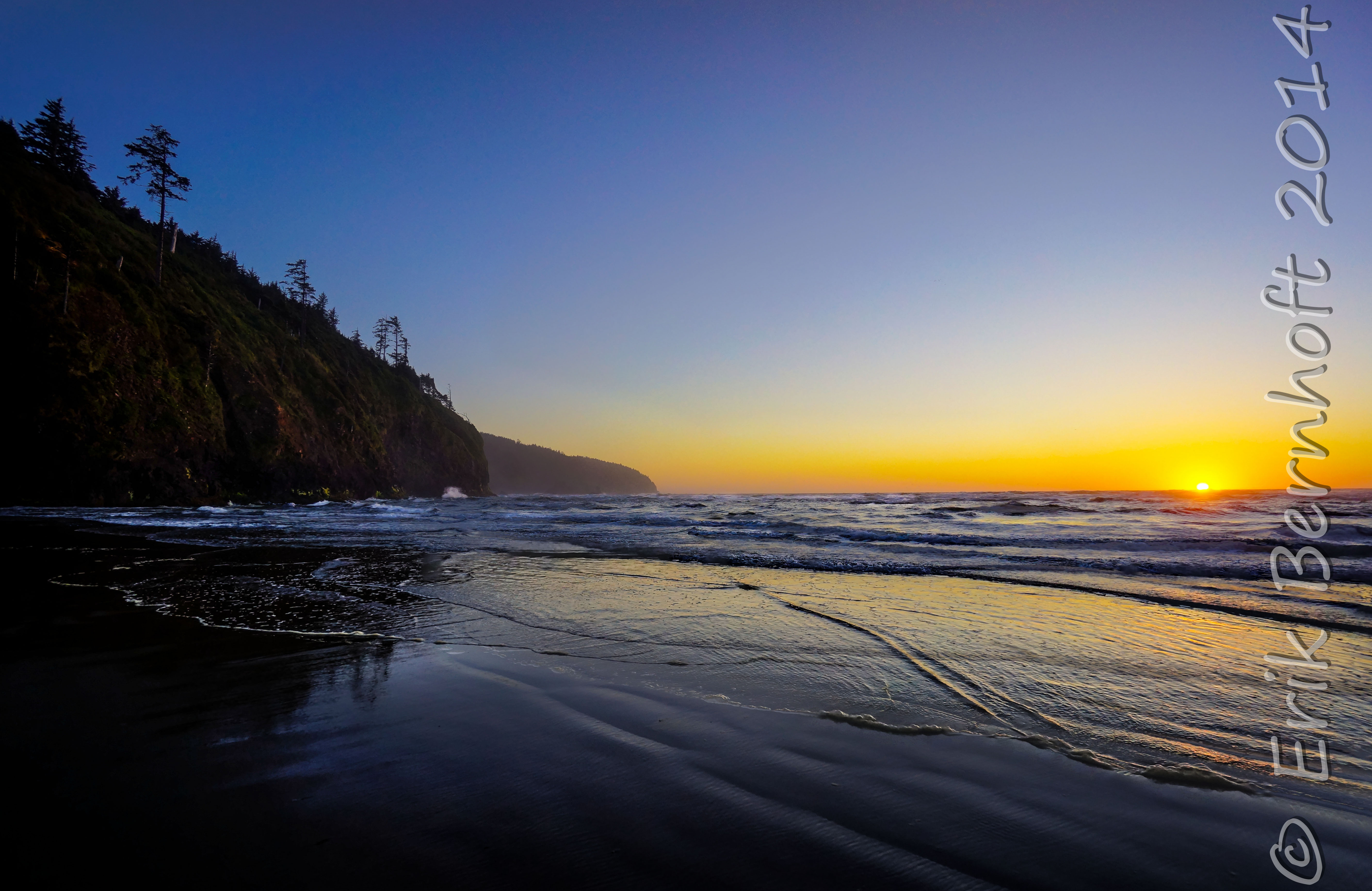
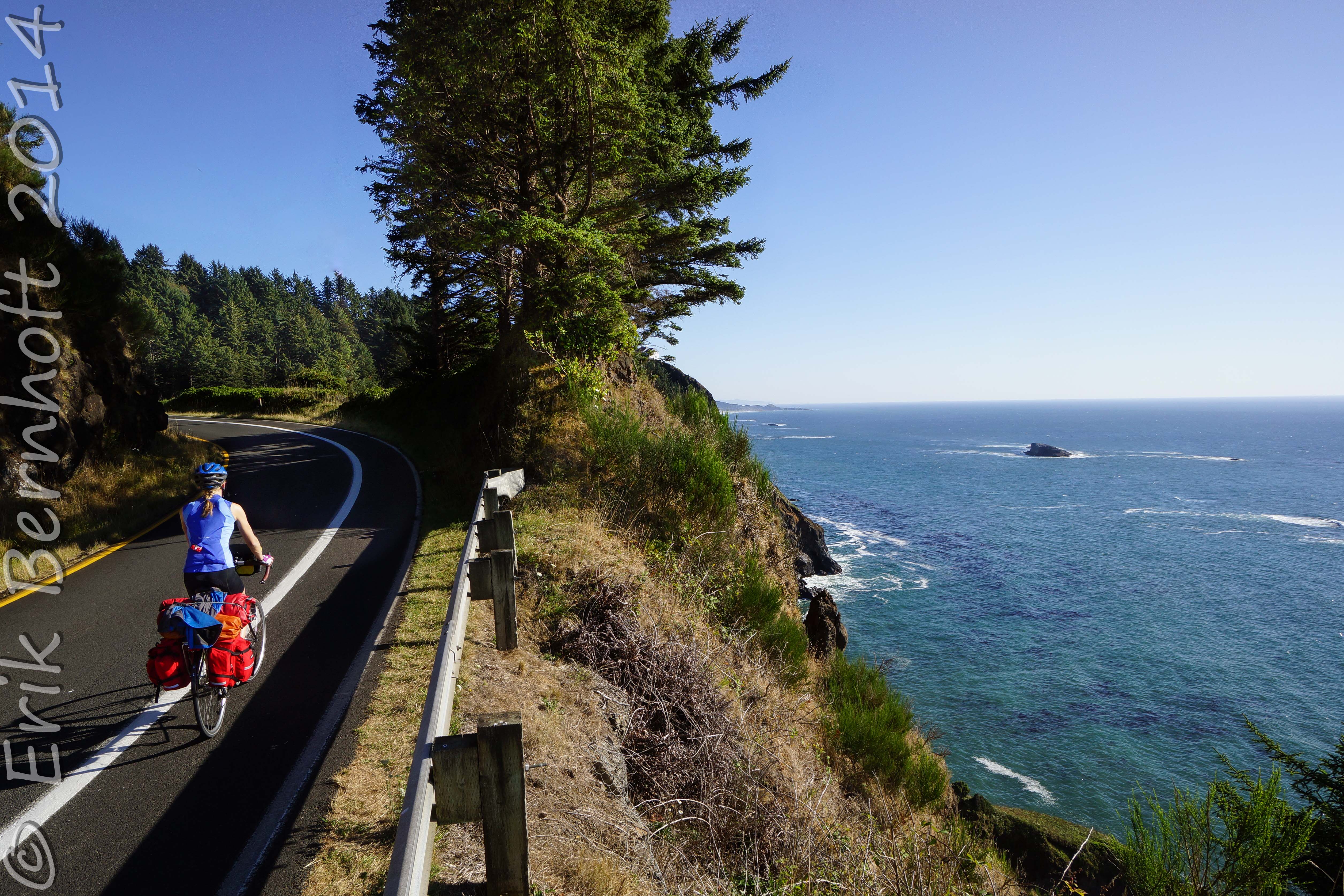
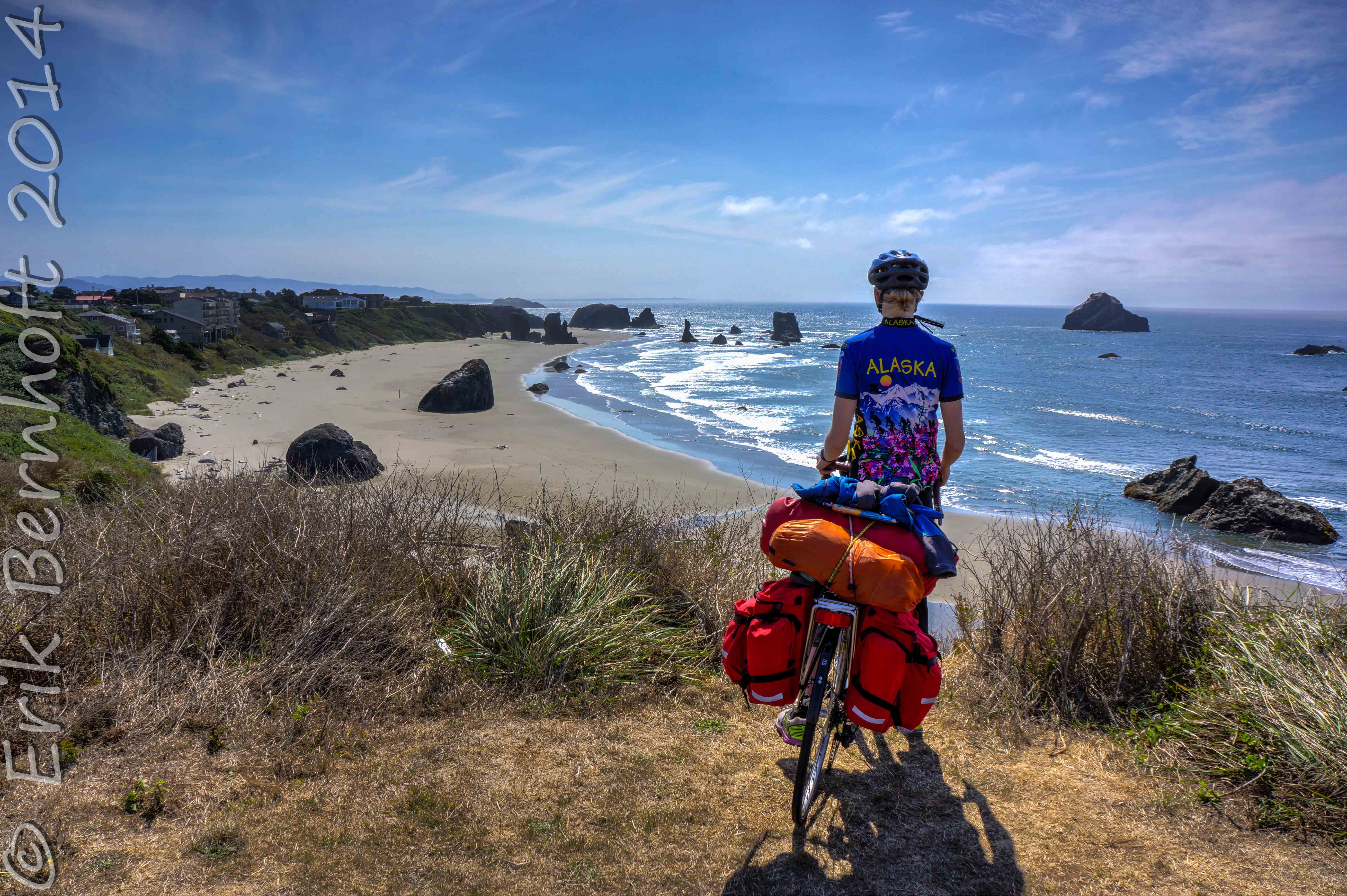
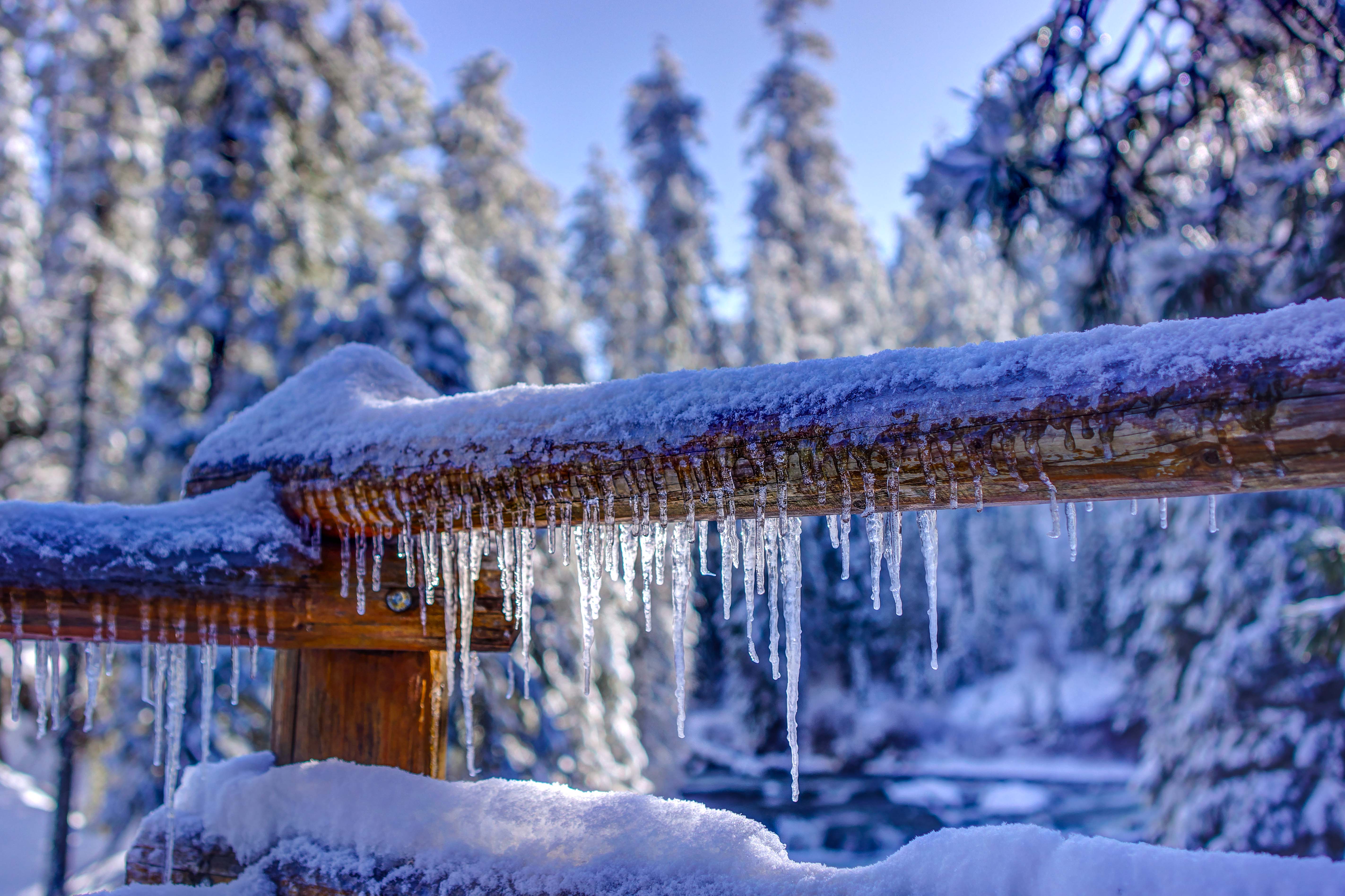
[metaslider id=906]
[tab_set]
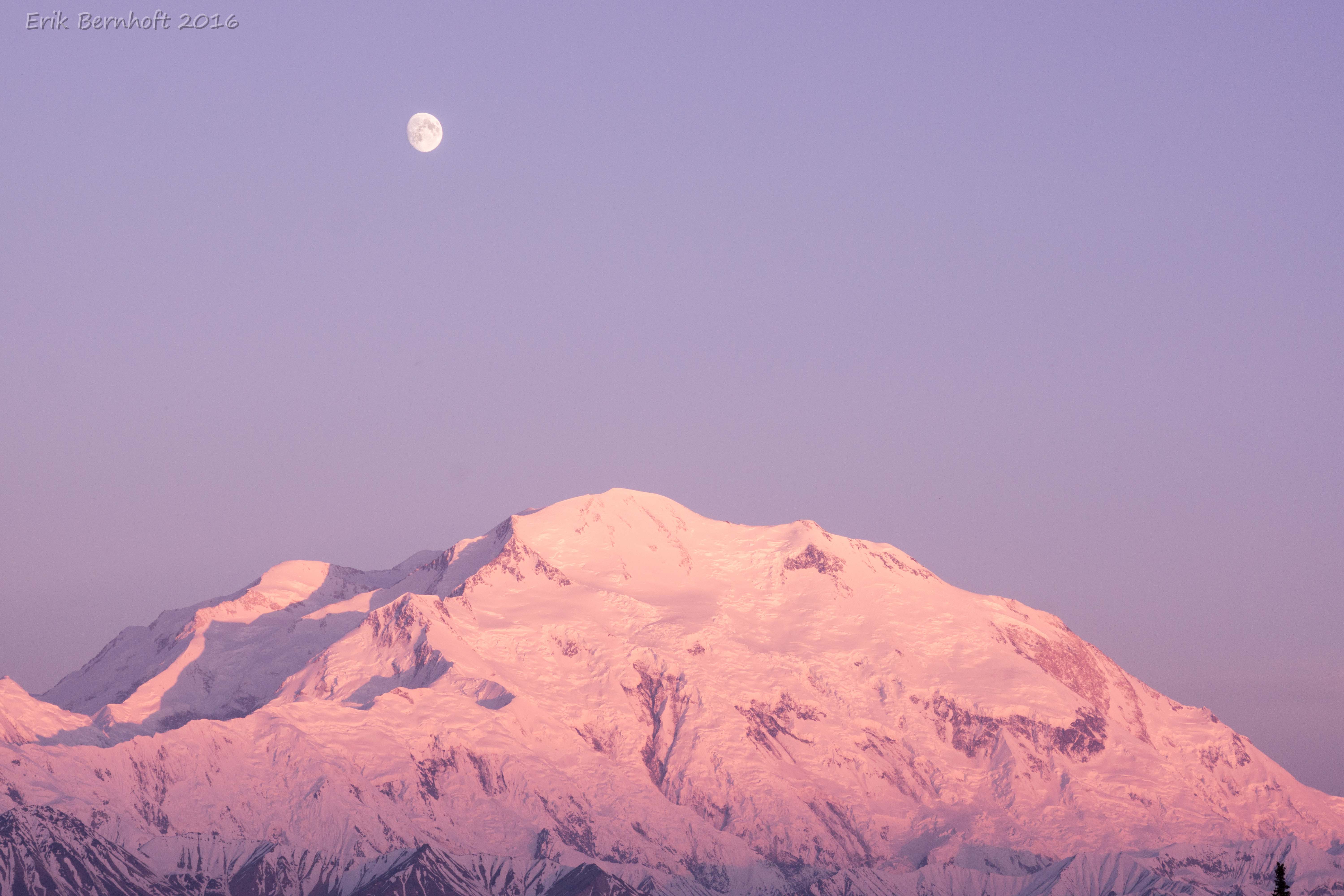
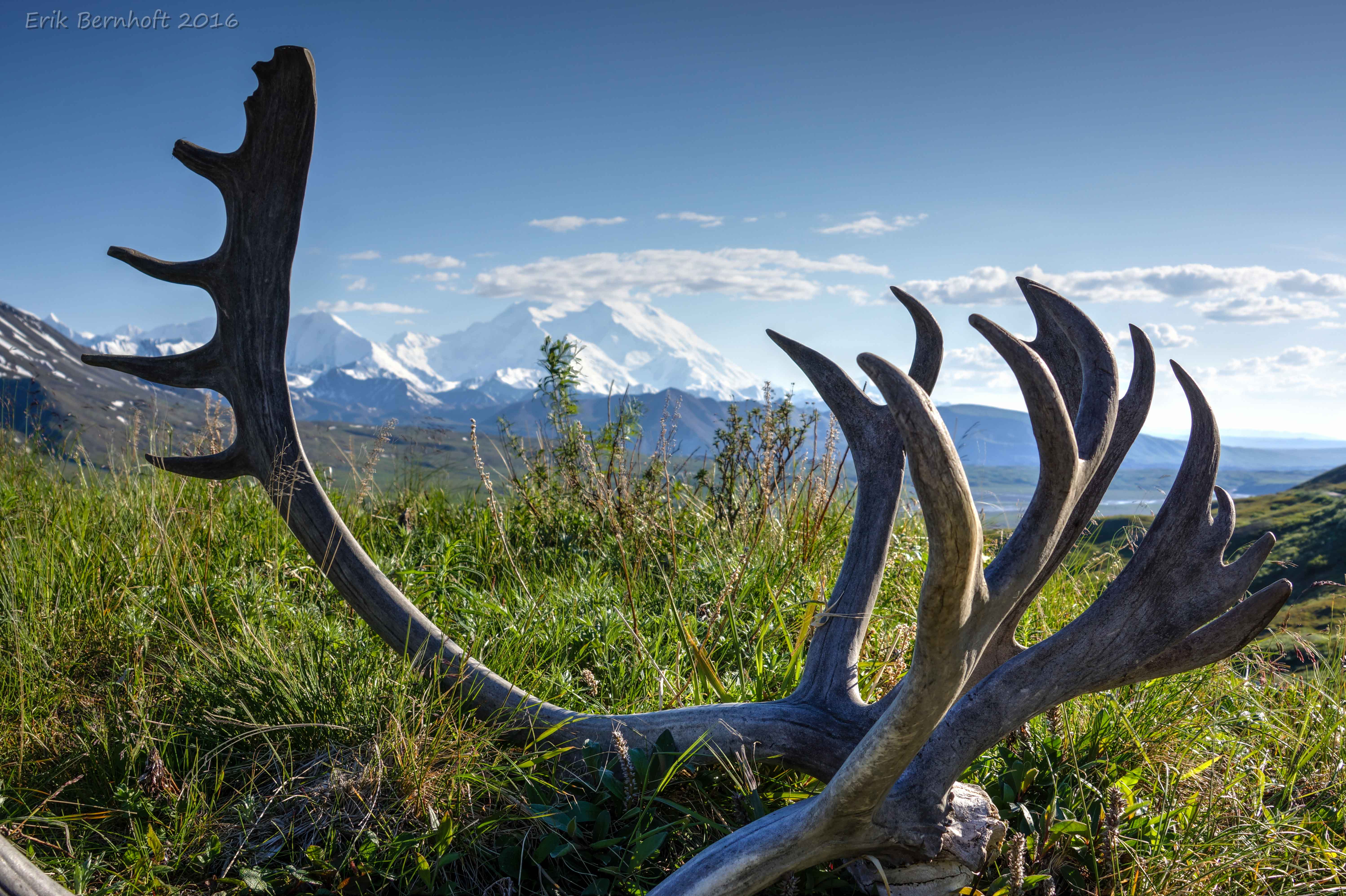
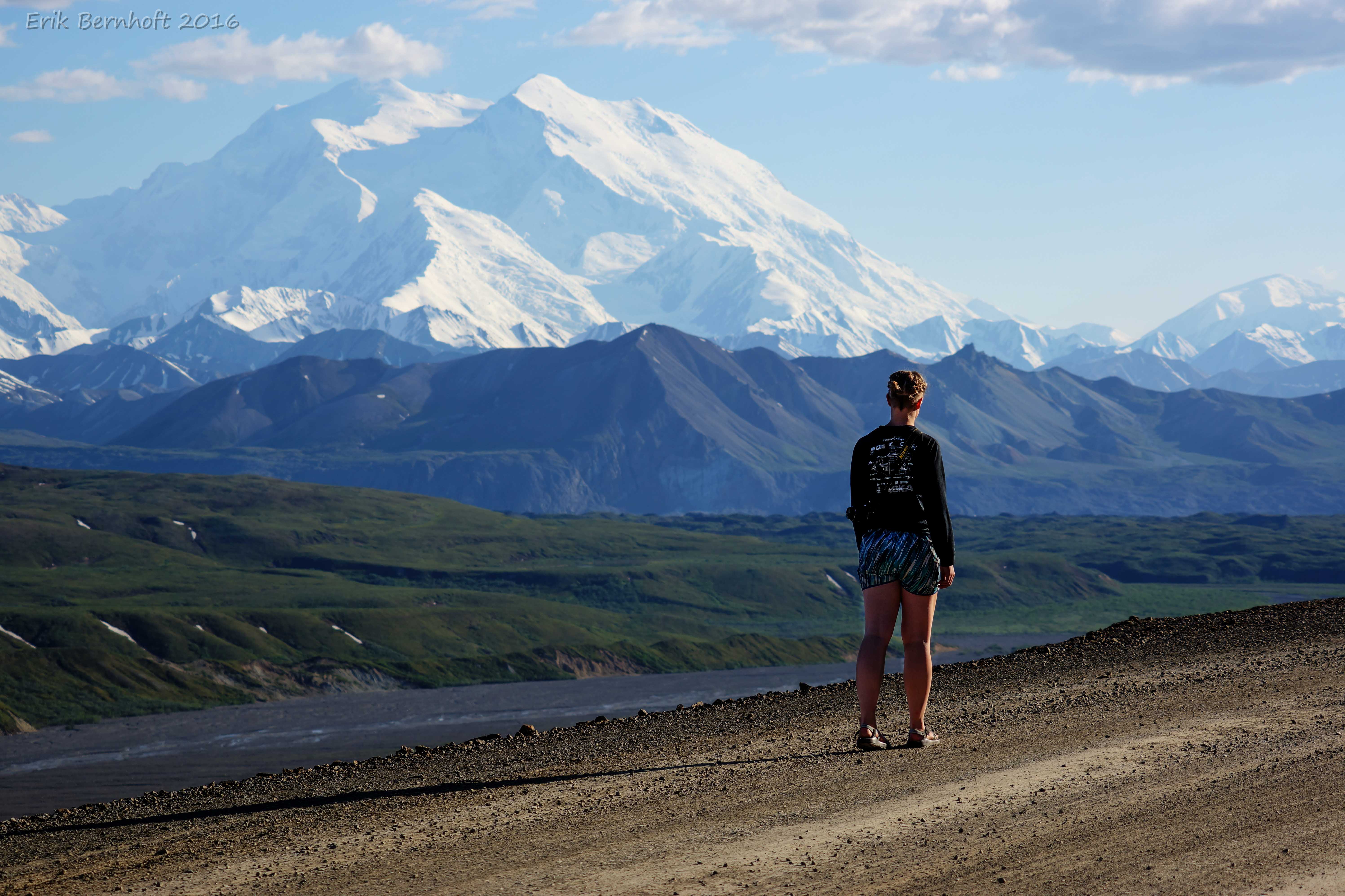
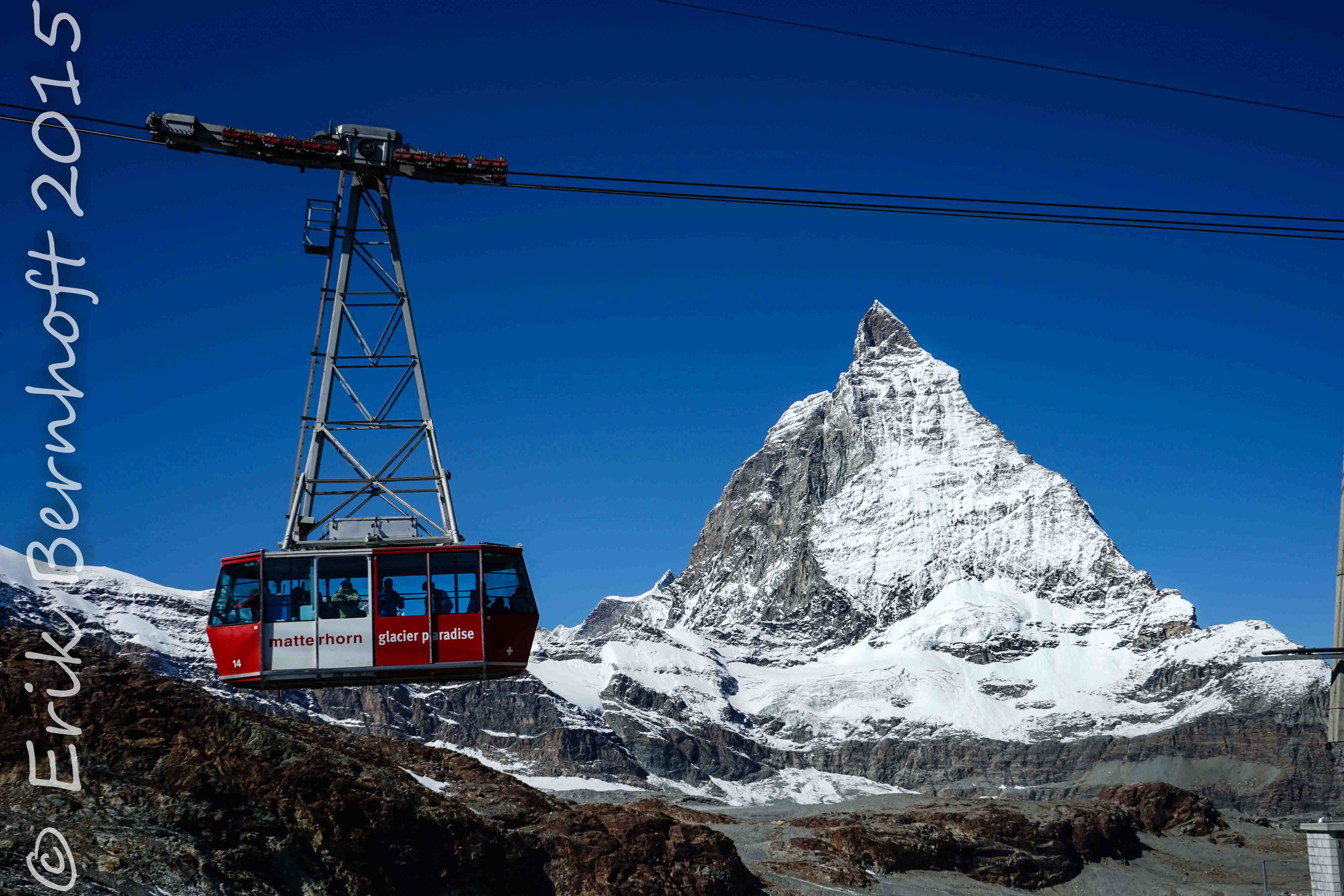
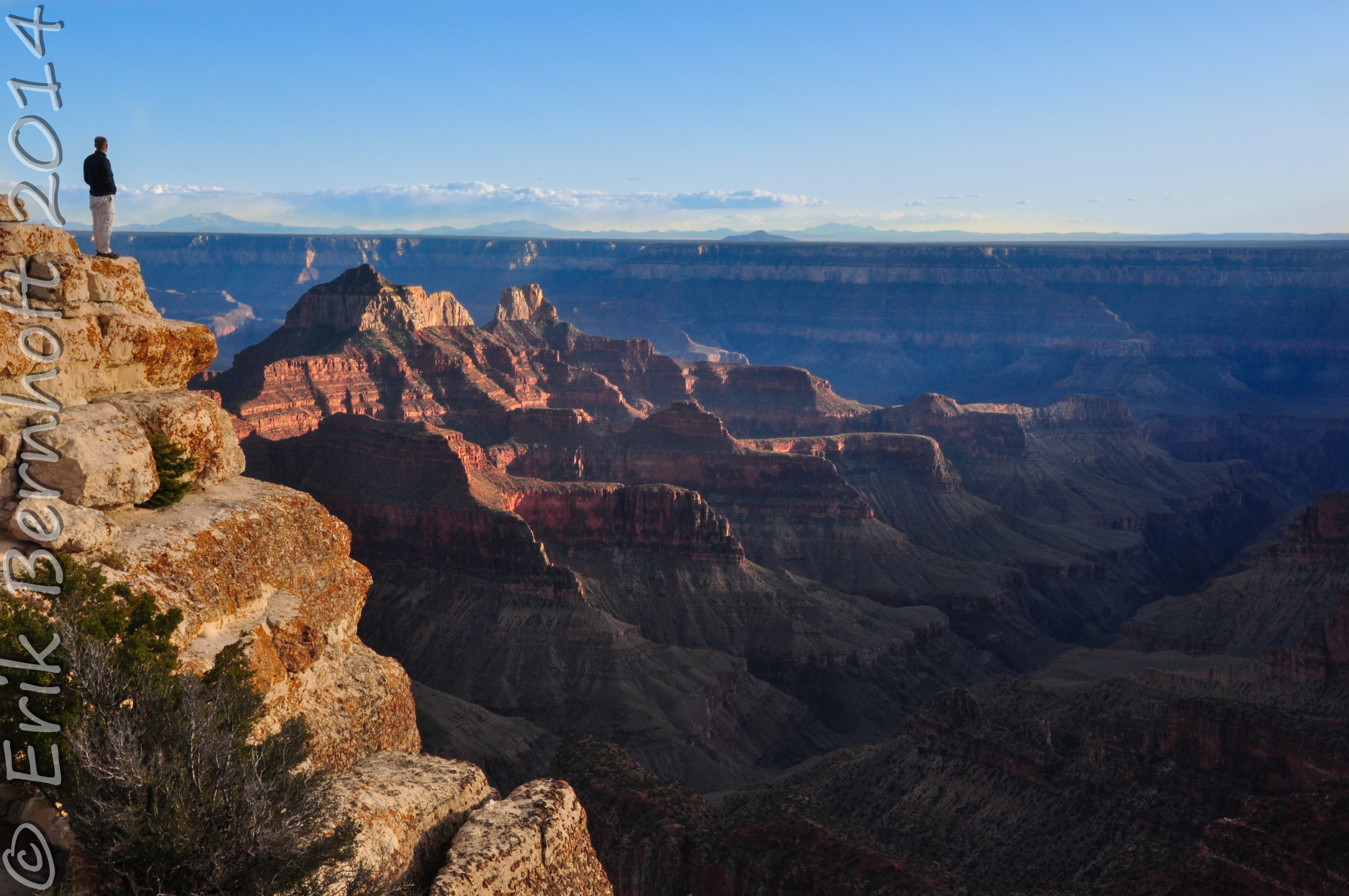
[tab title=”Mountains”]
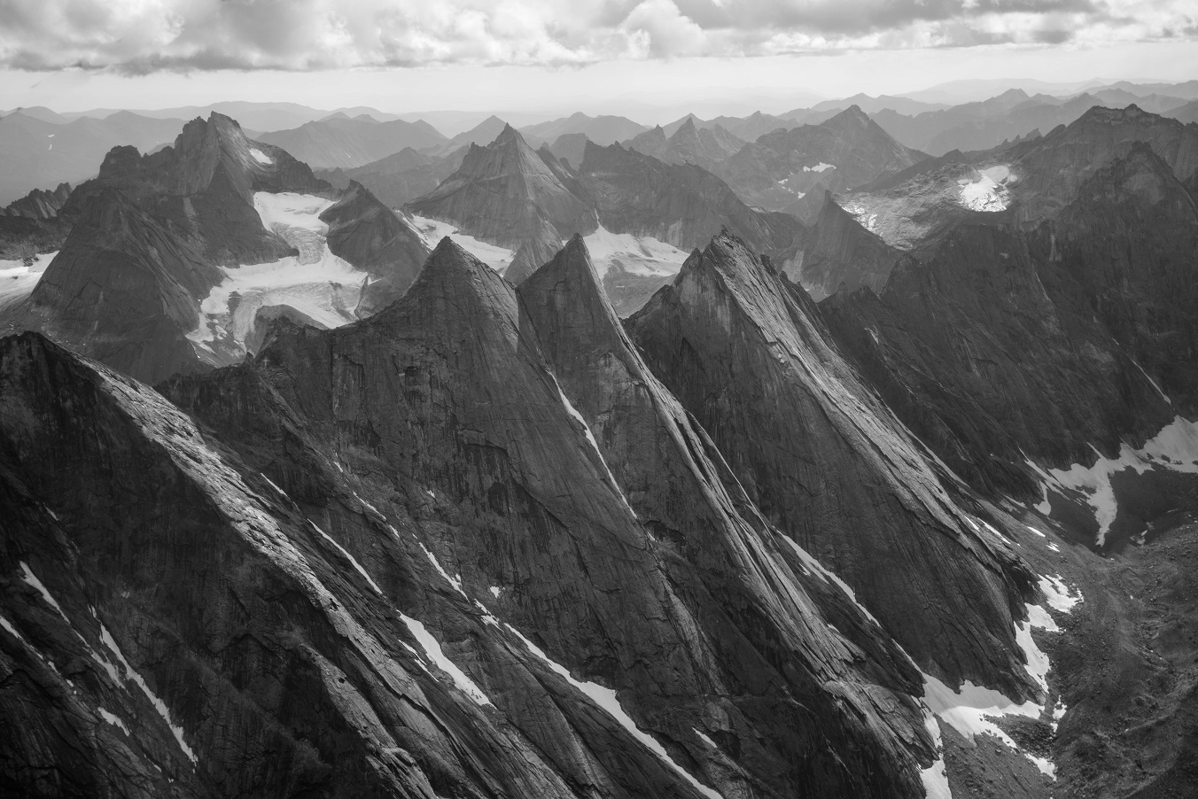
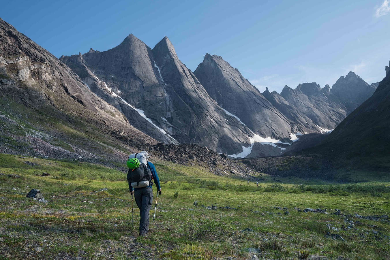
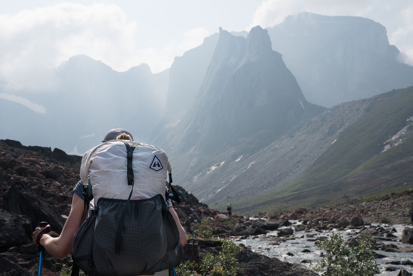

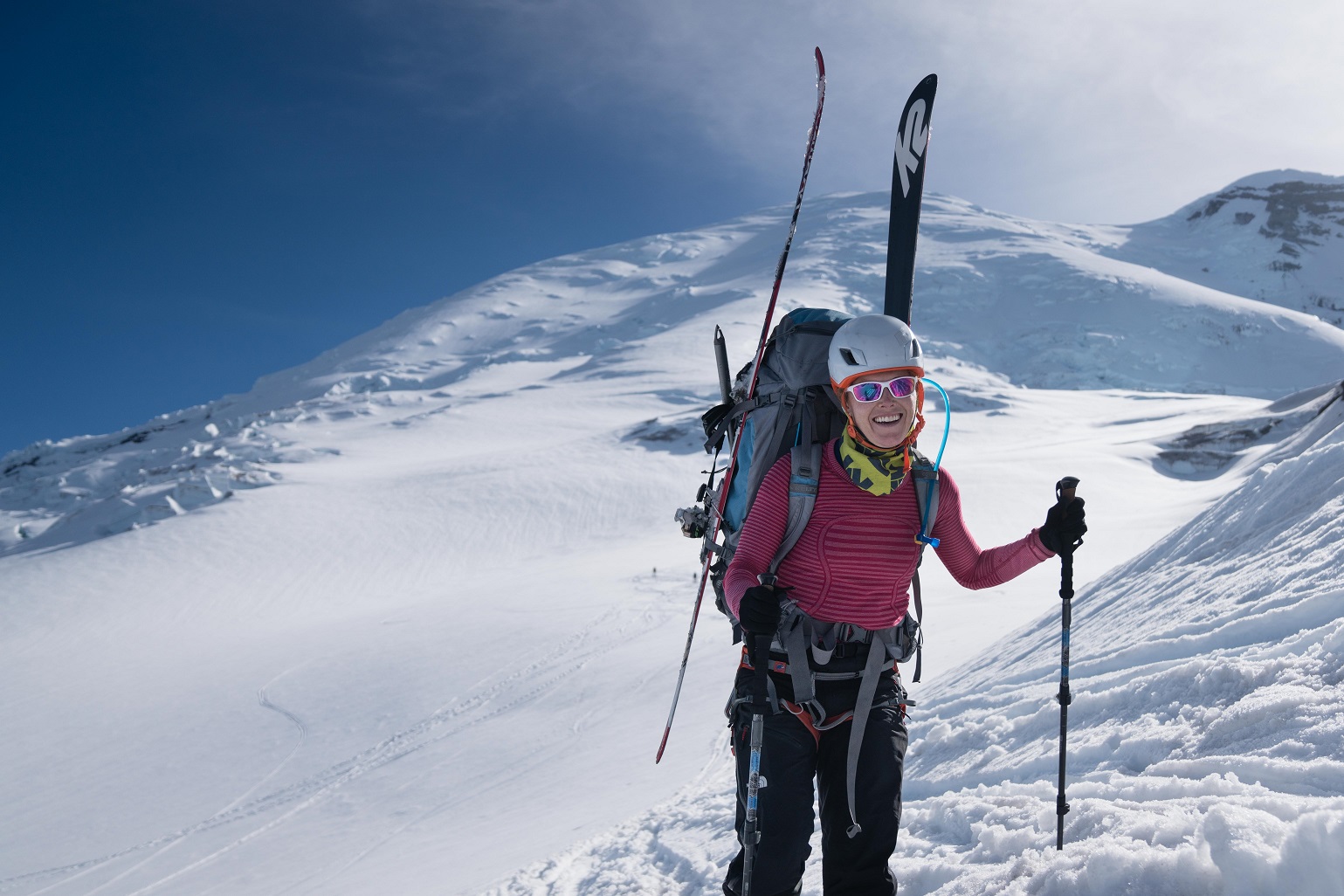
[/tab]
[tab title=”Desert”]


[/tab]
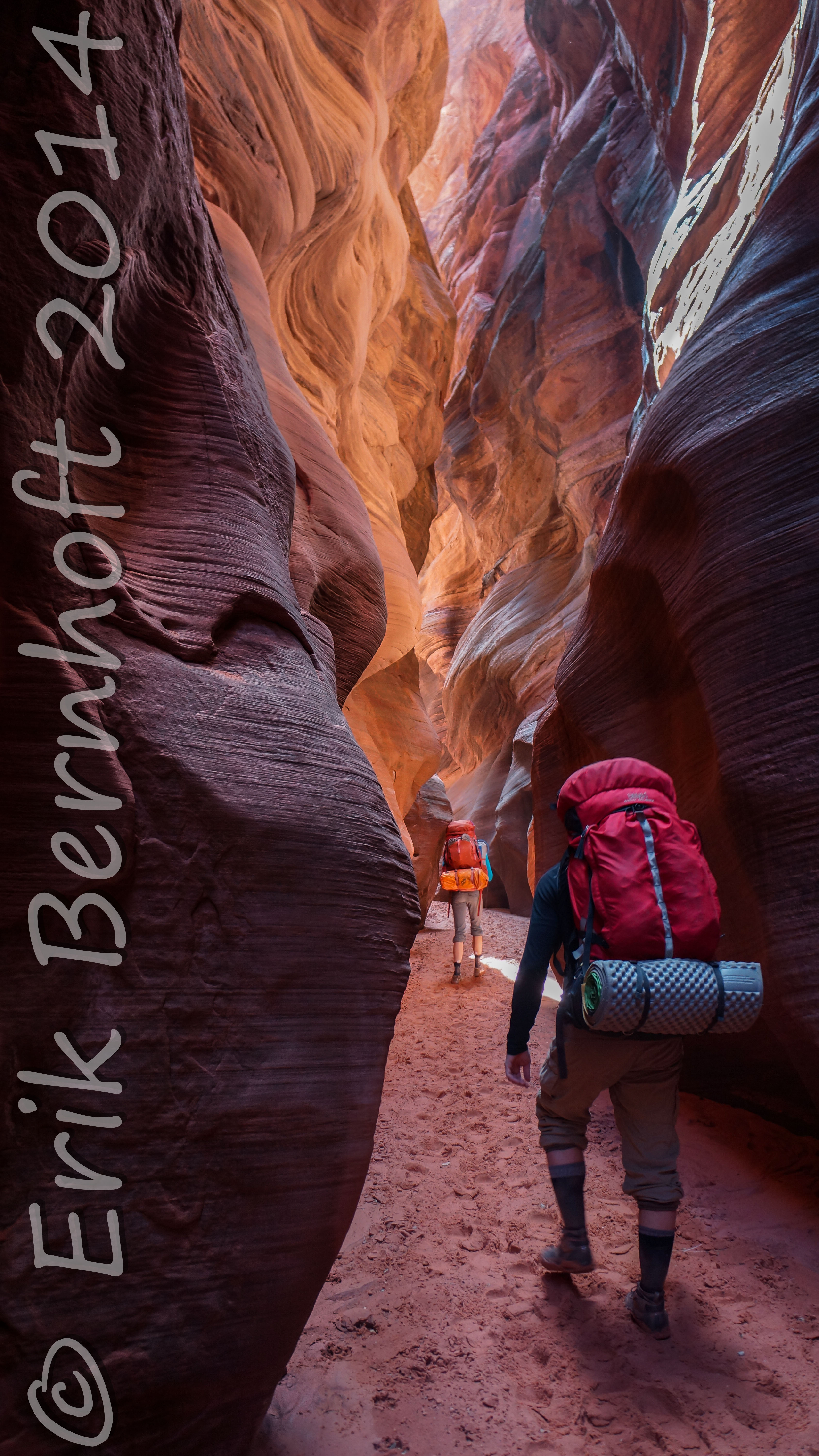
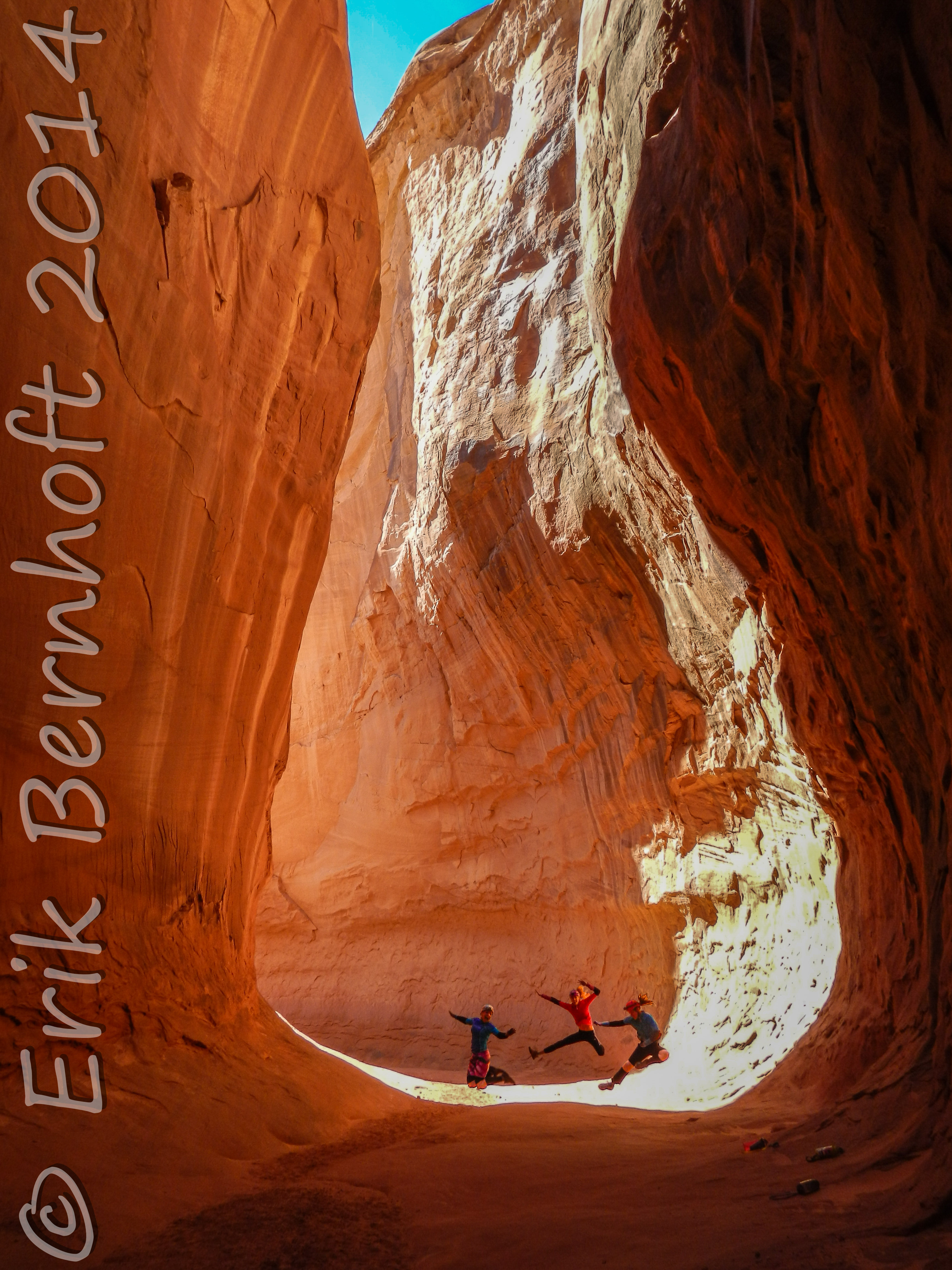
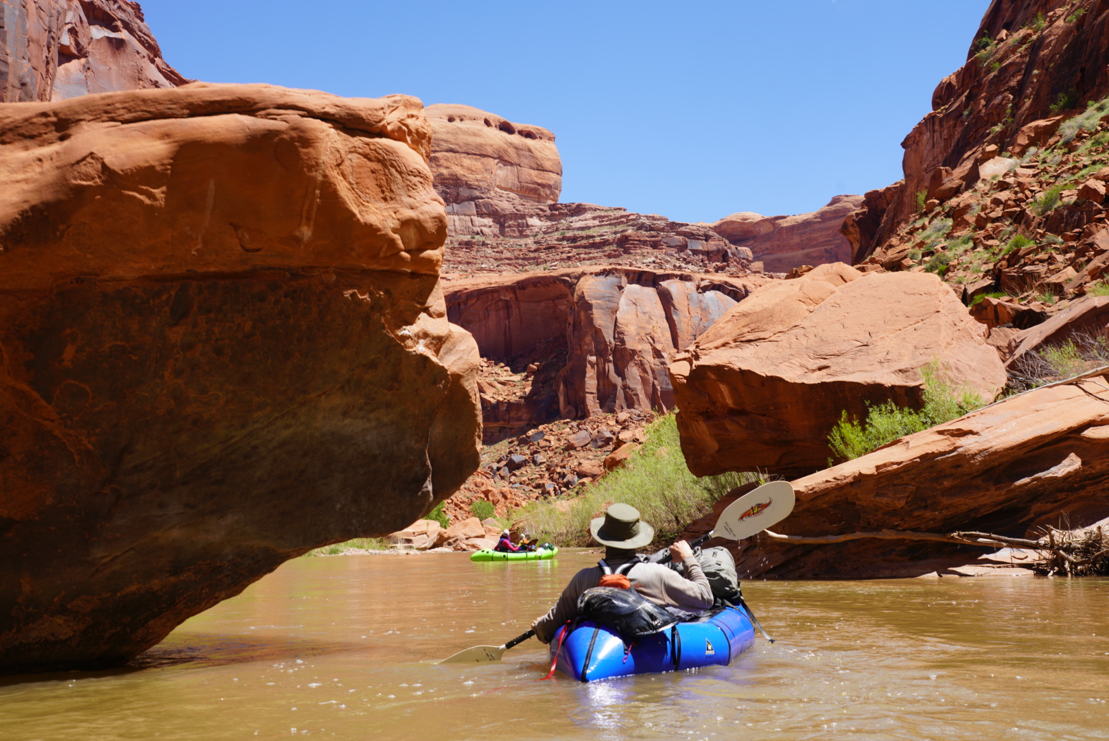
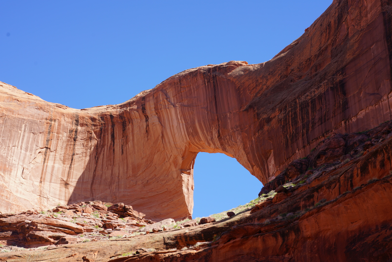
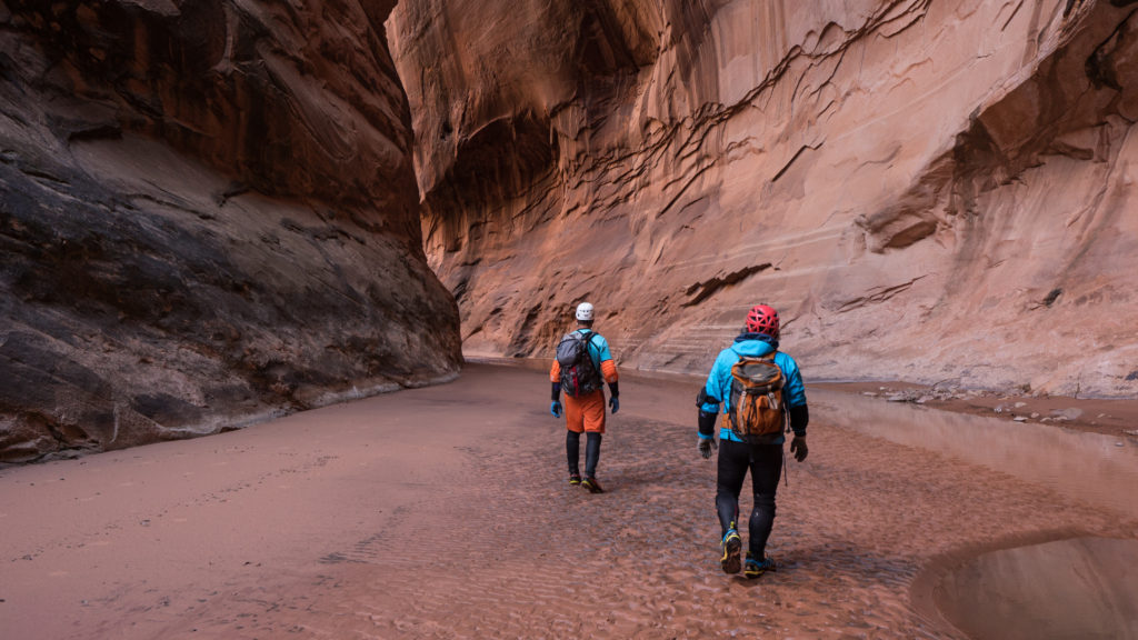
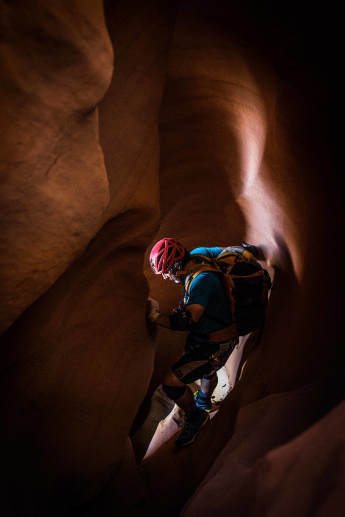
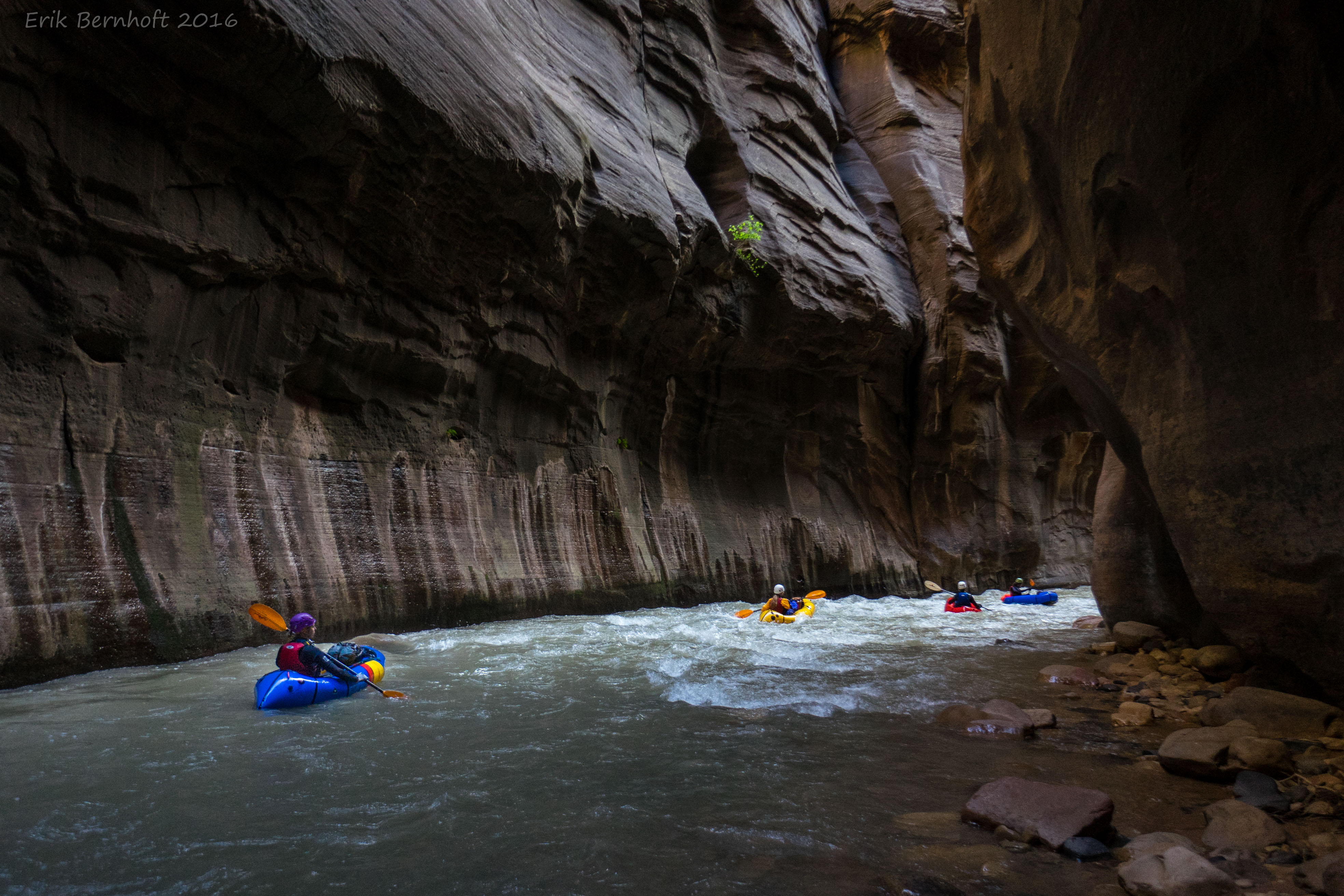
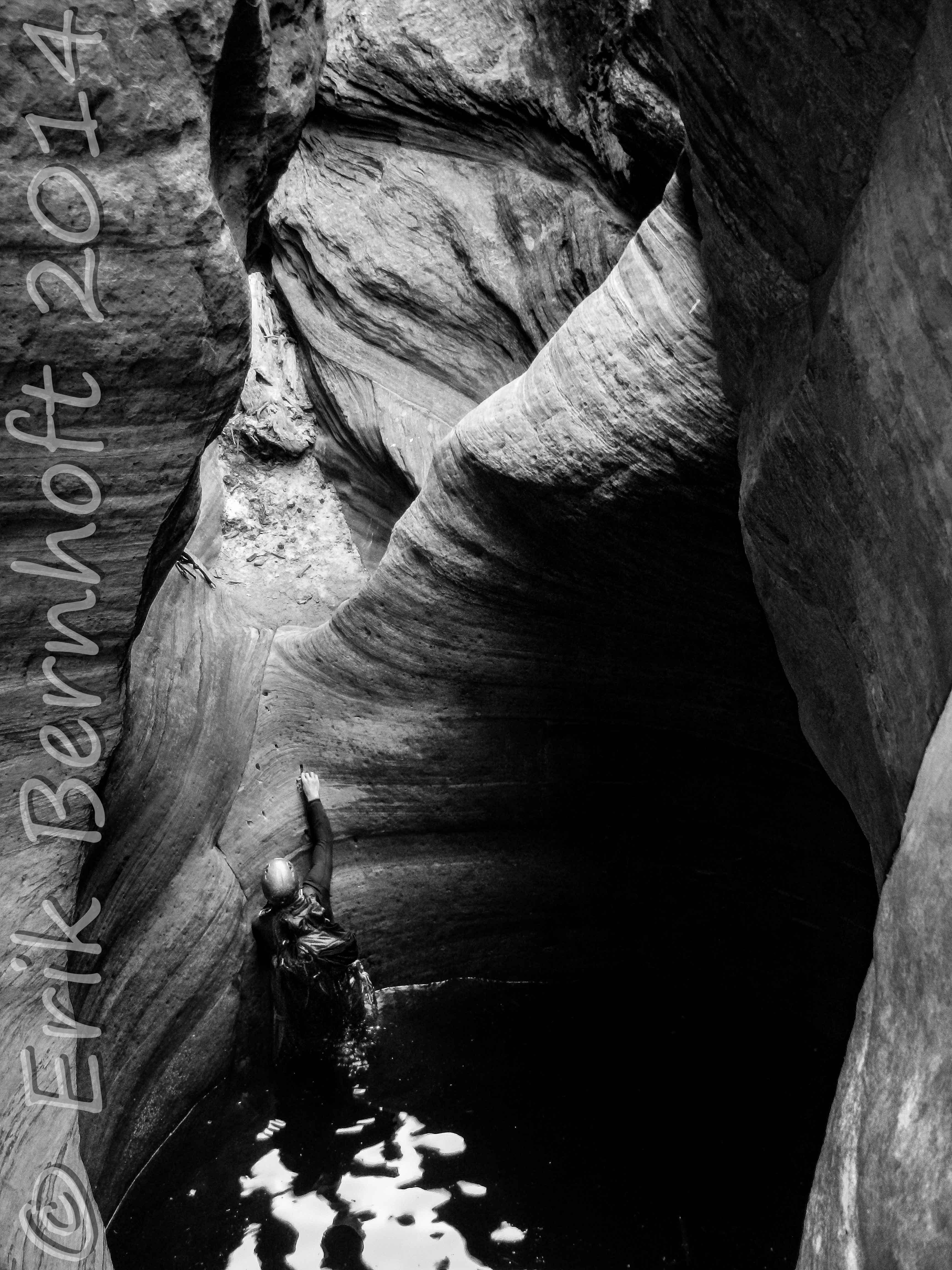
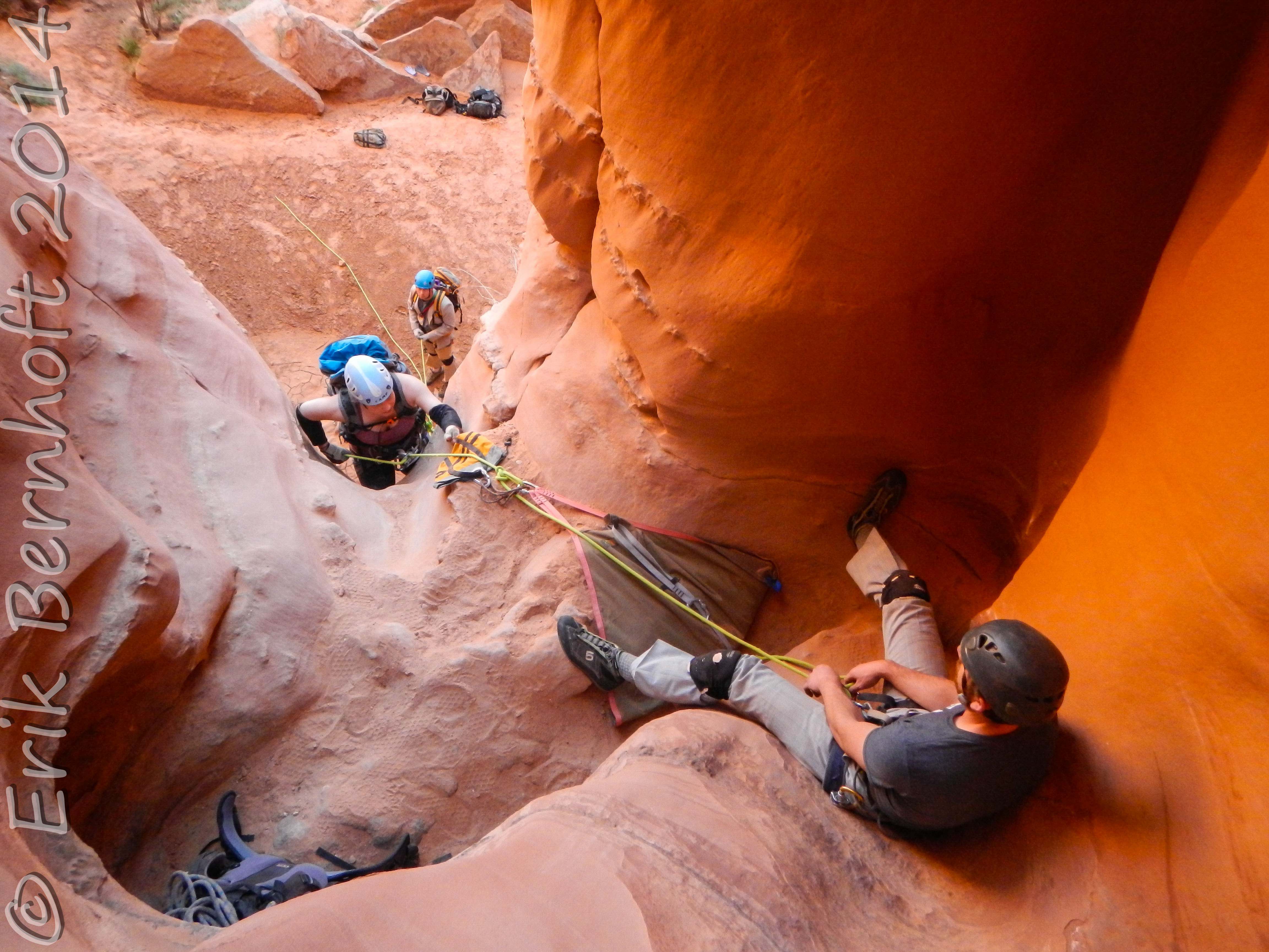
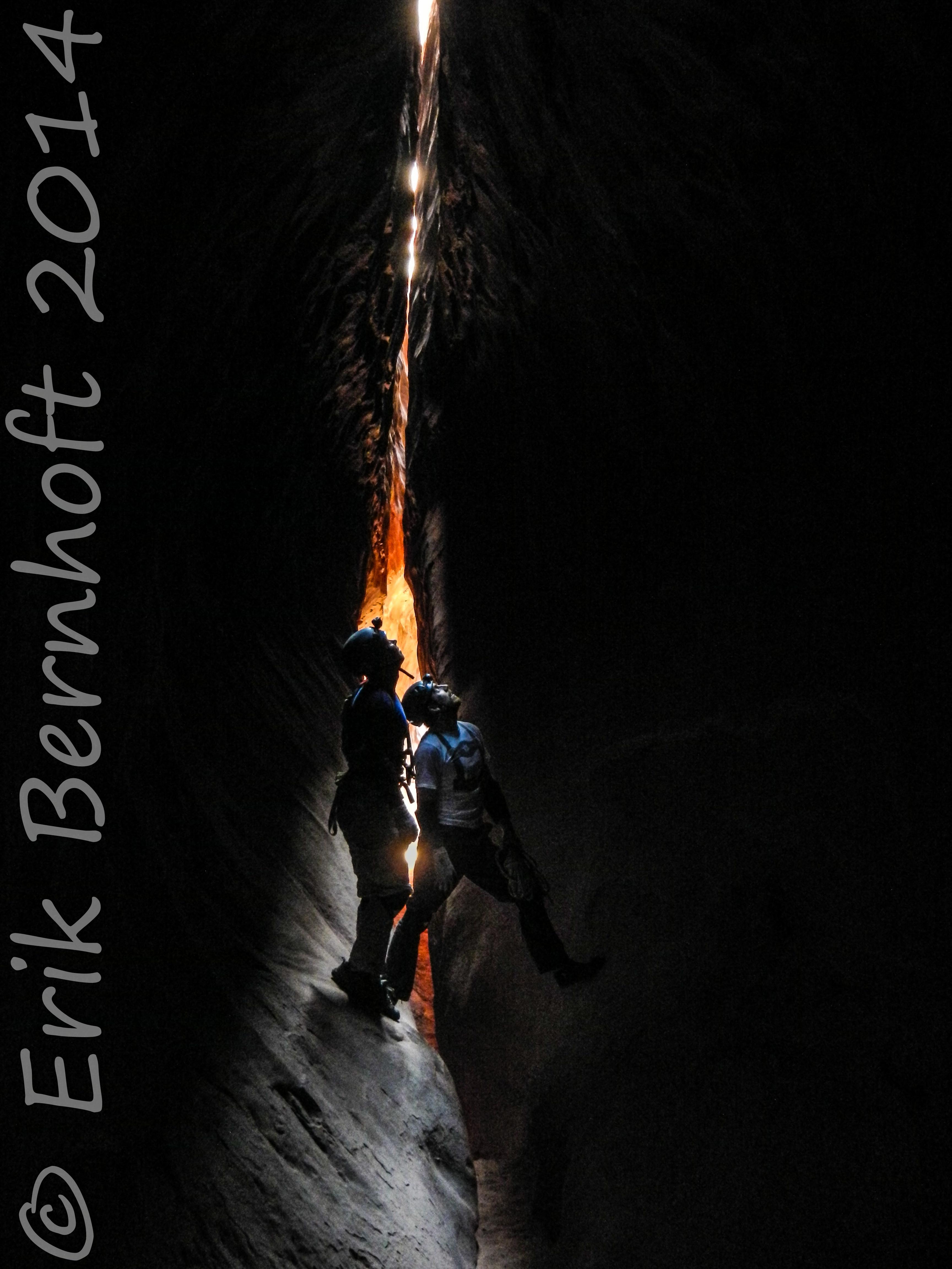
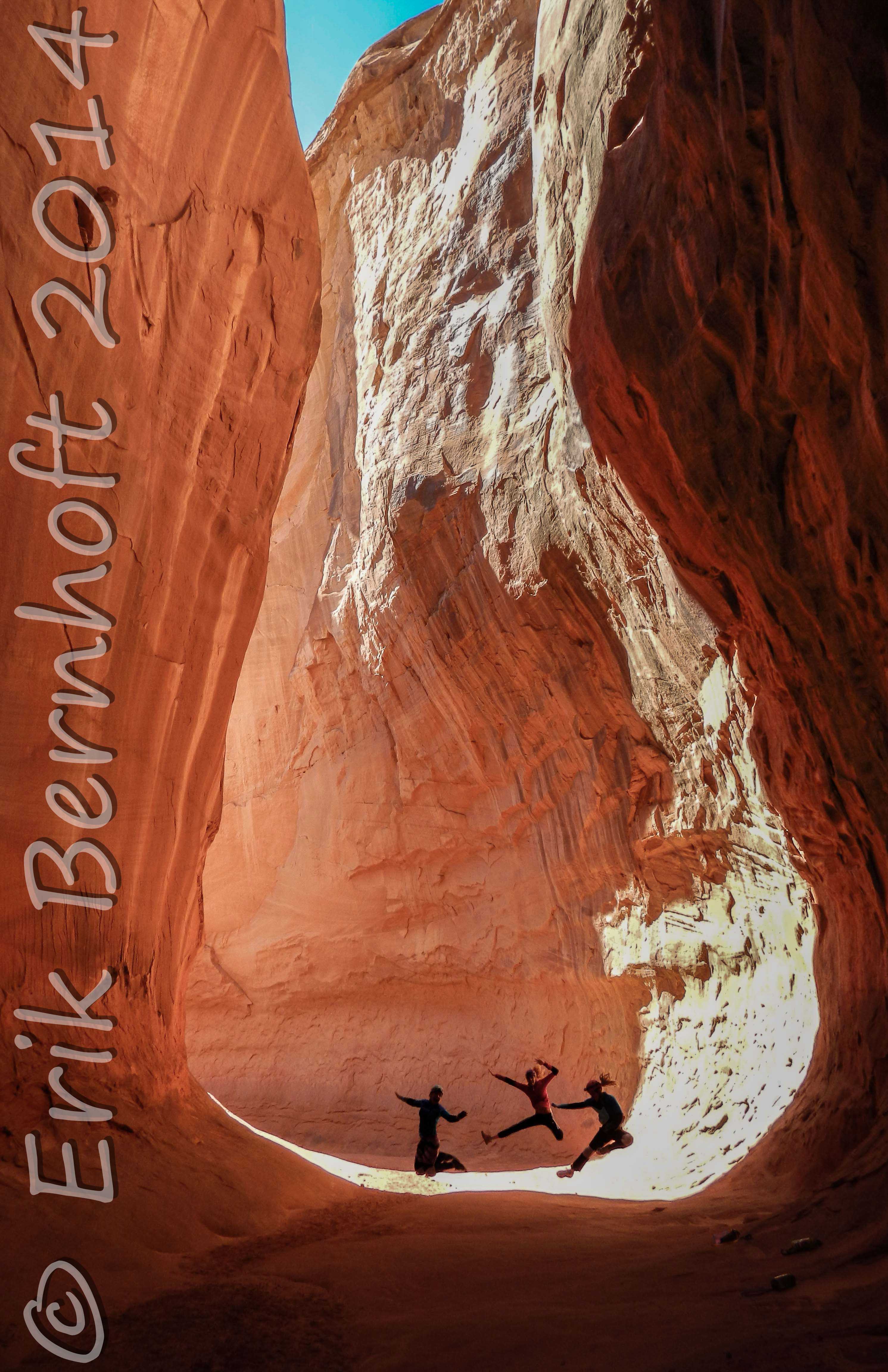
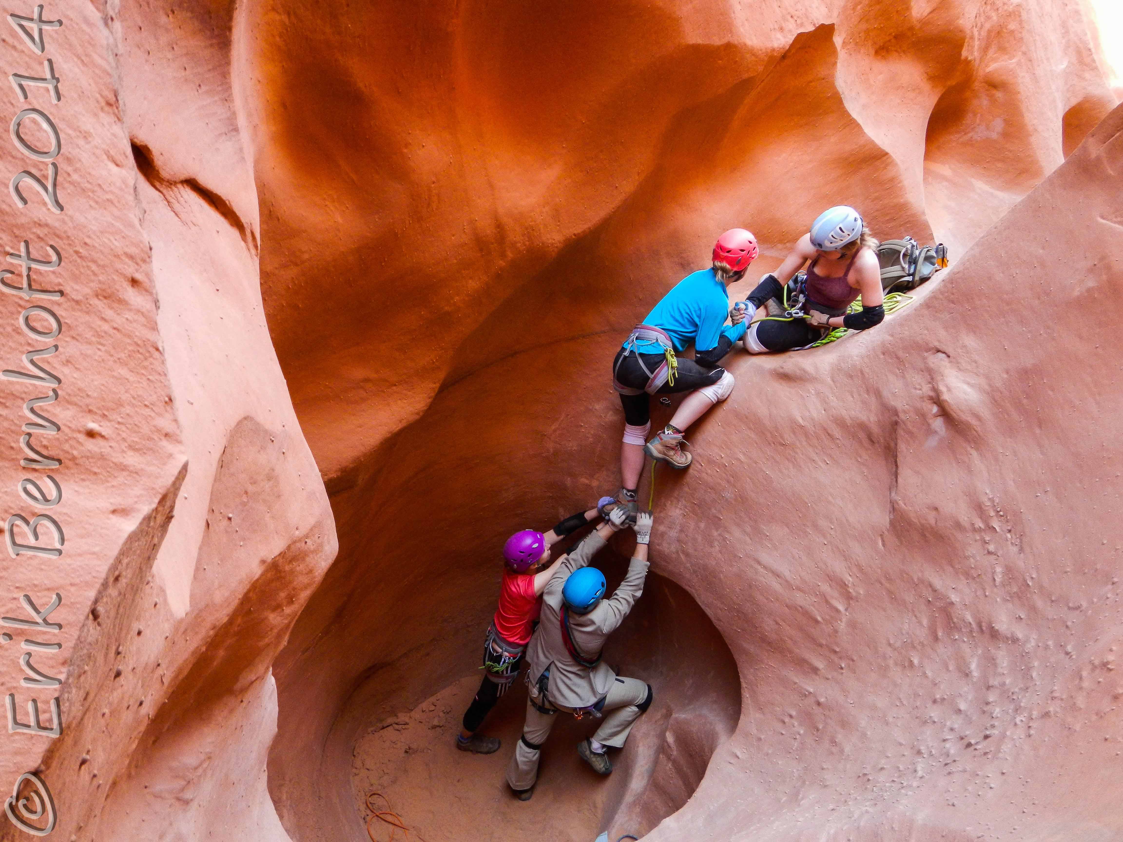
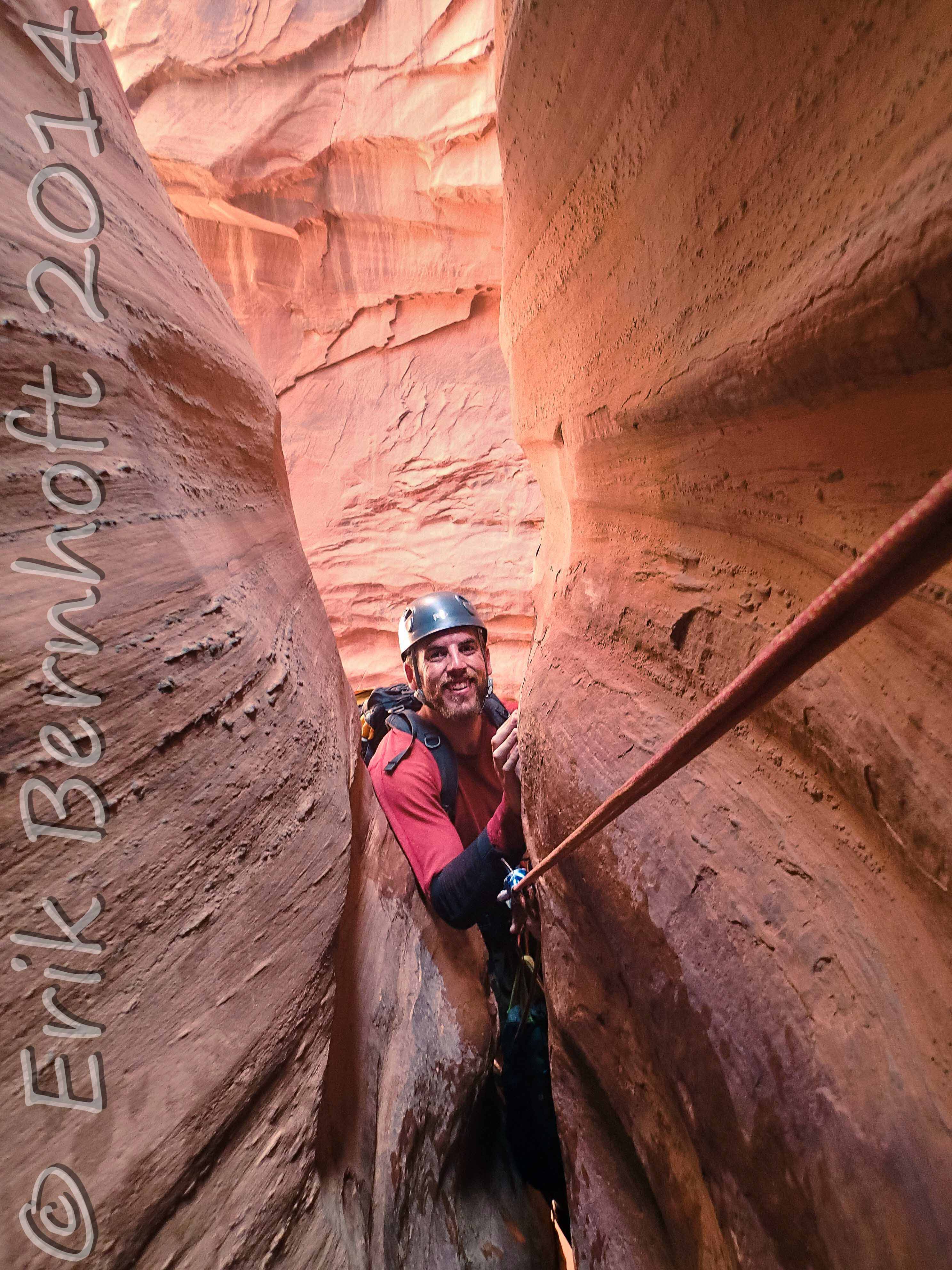
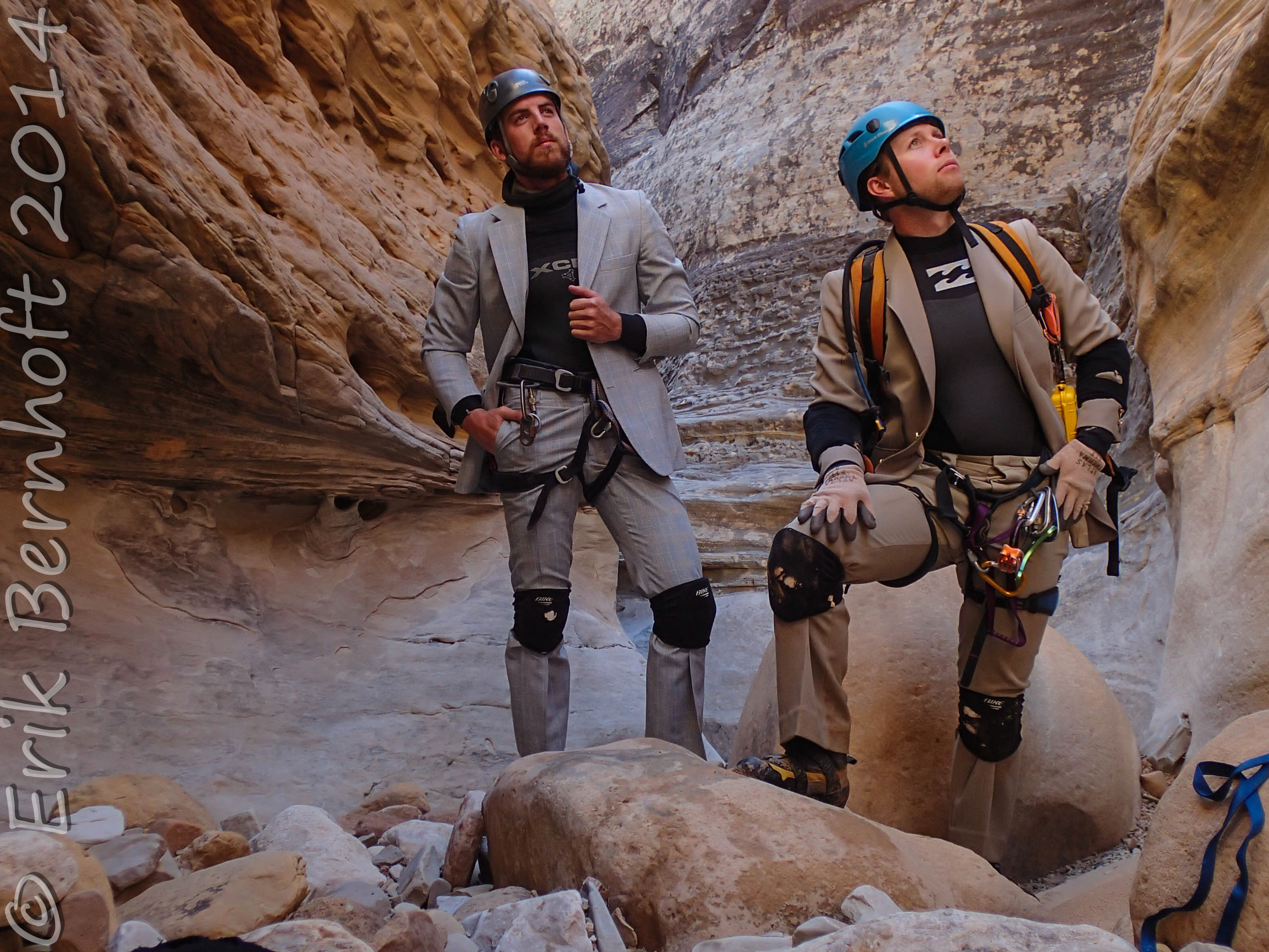
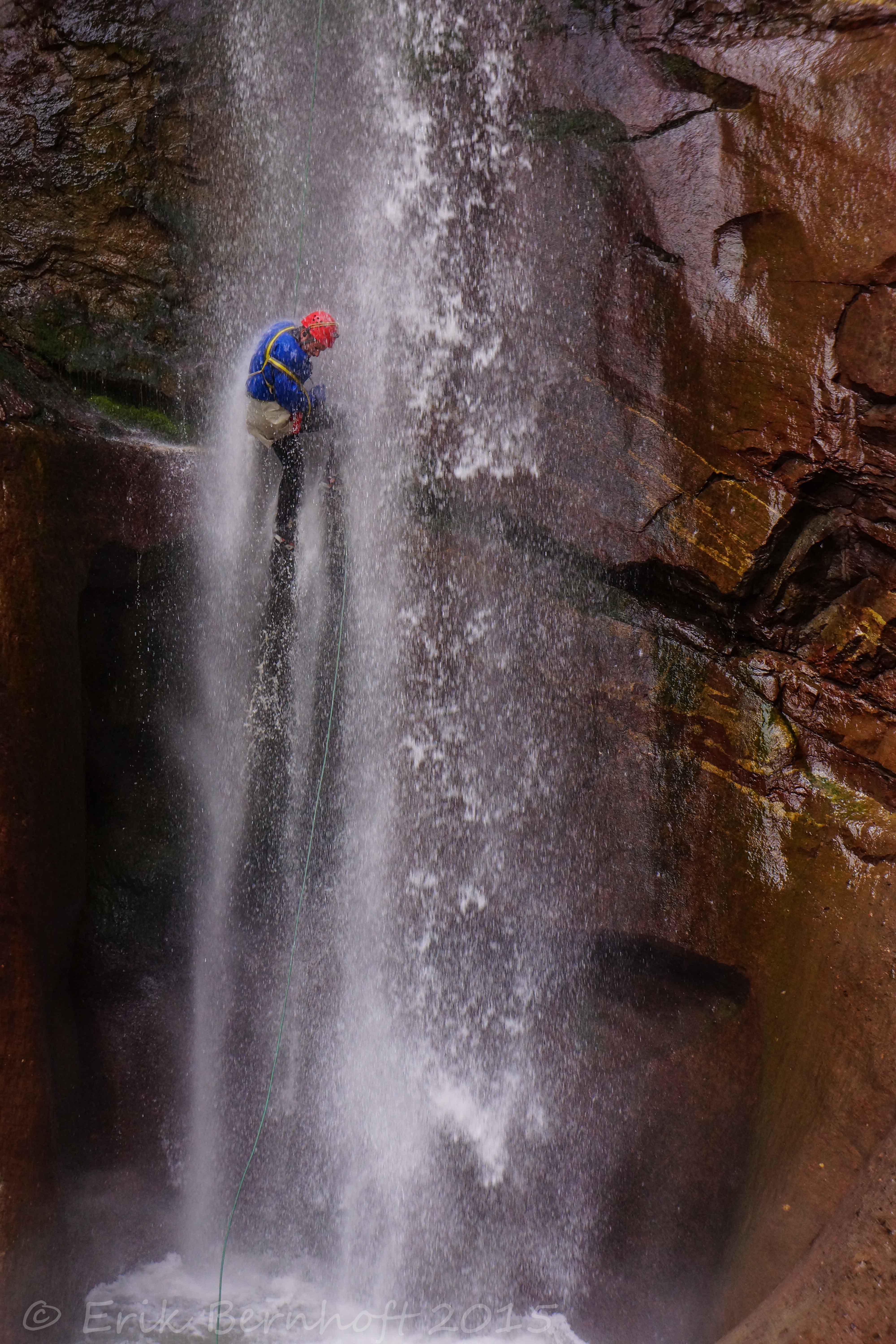
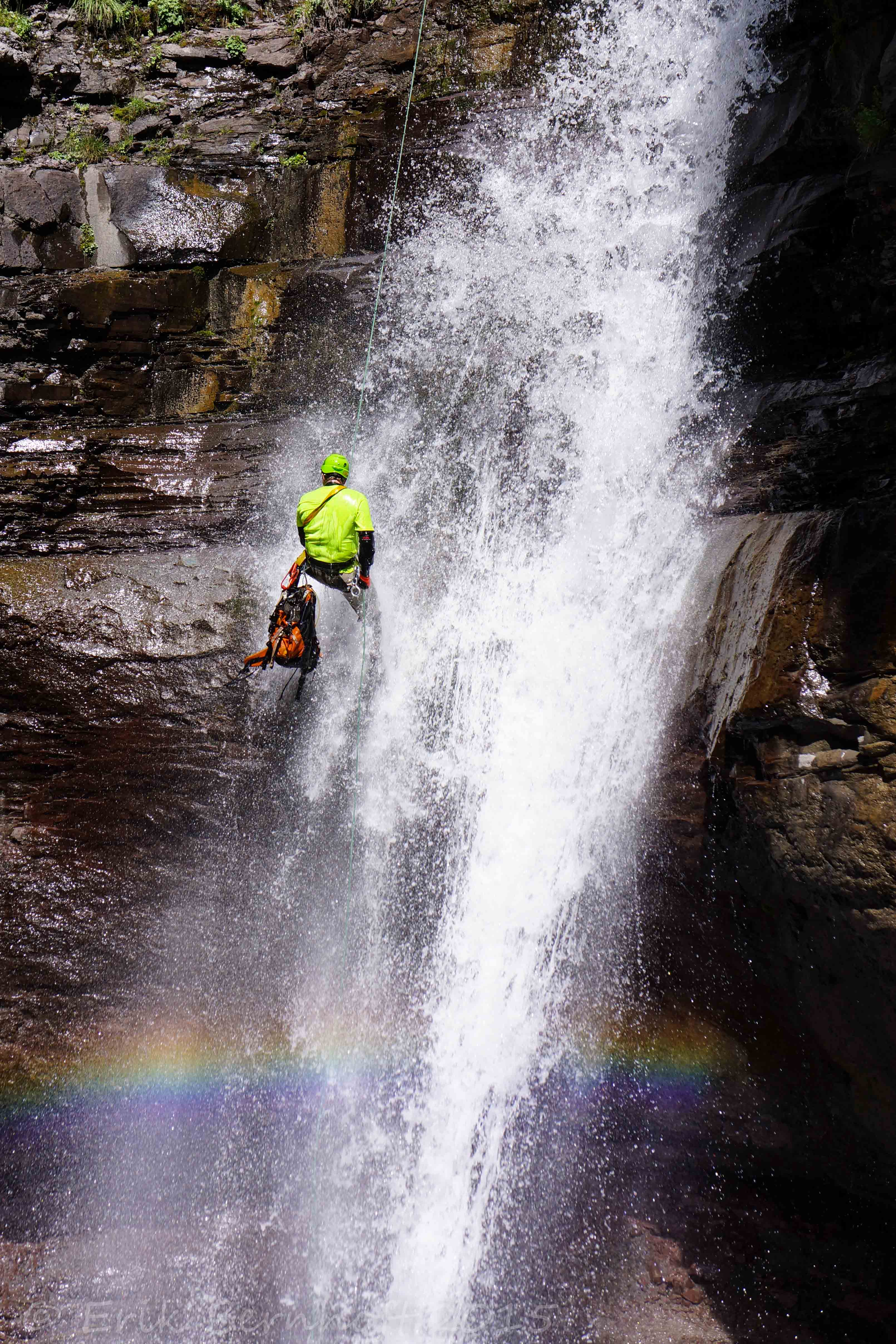
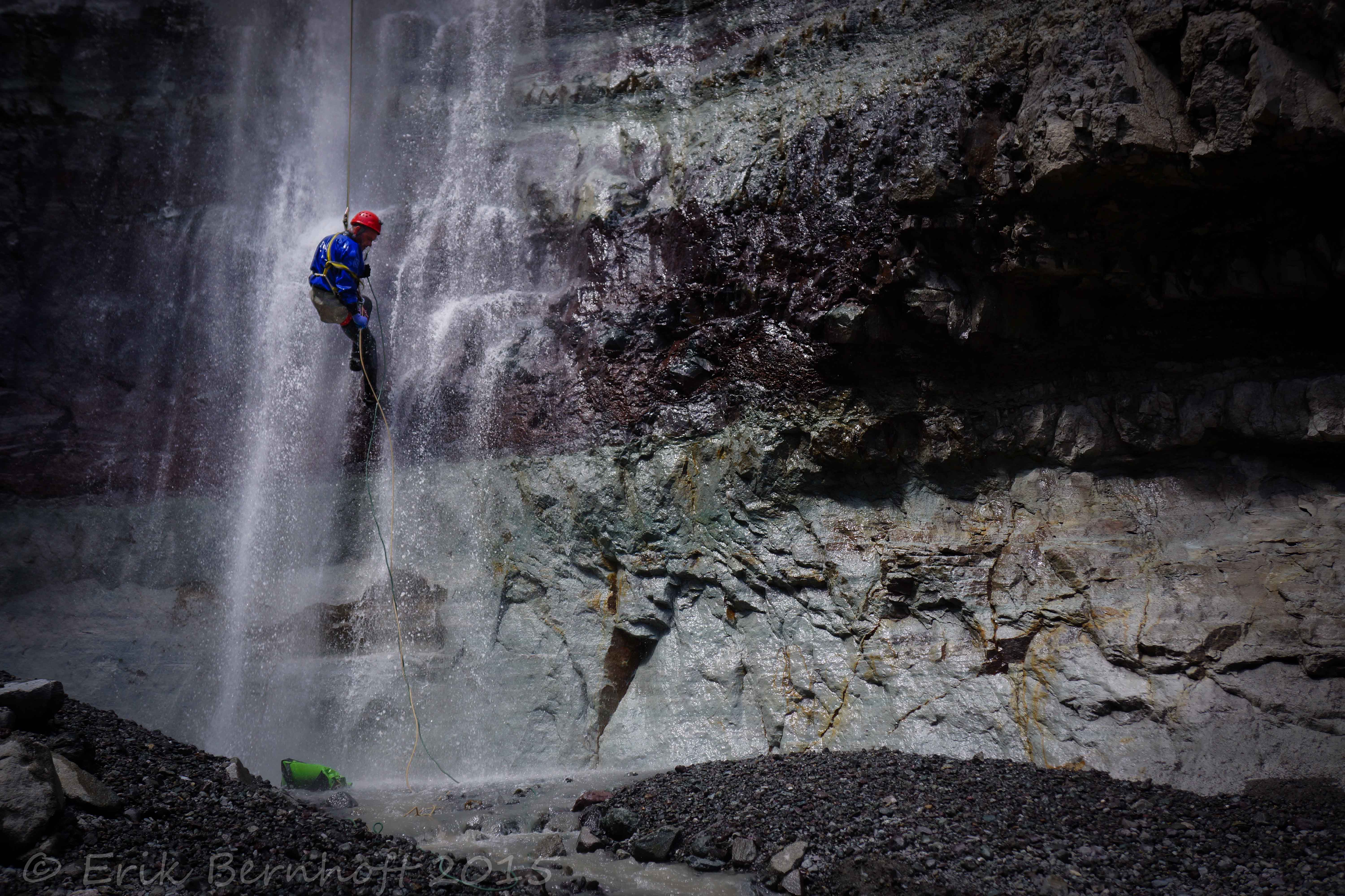
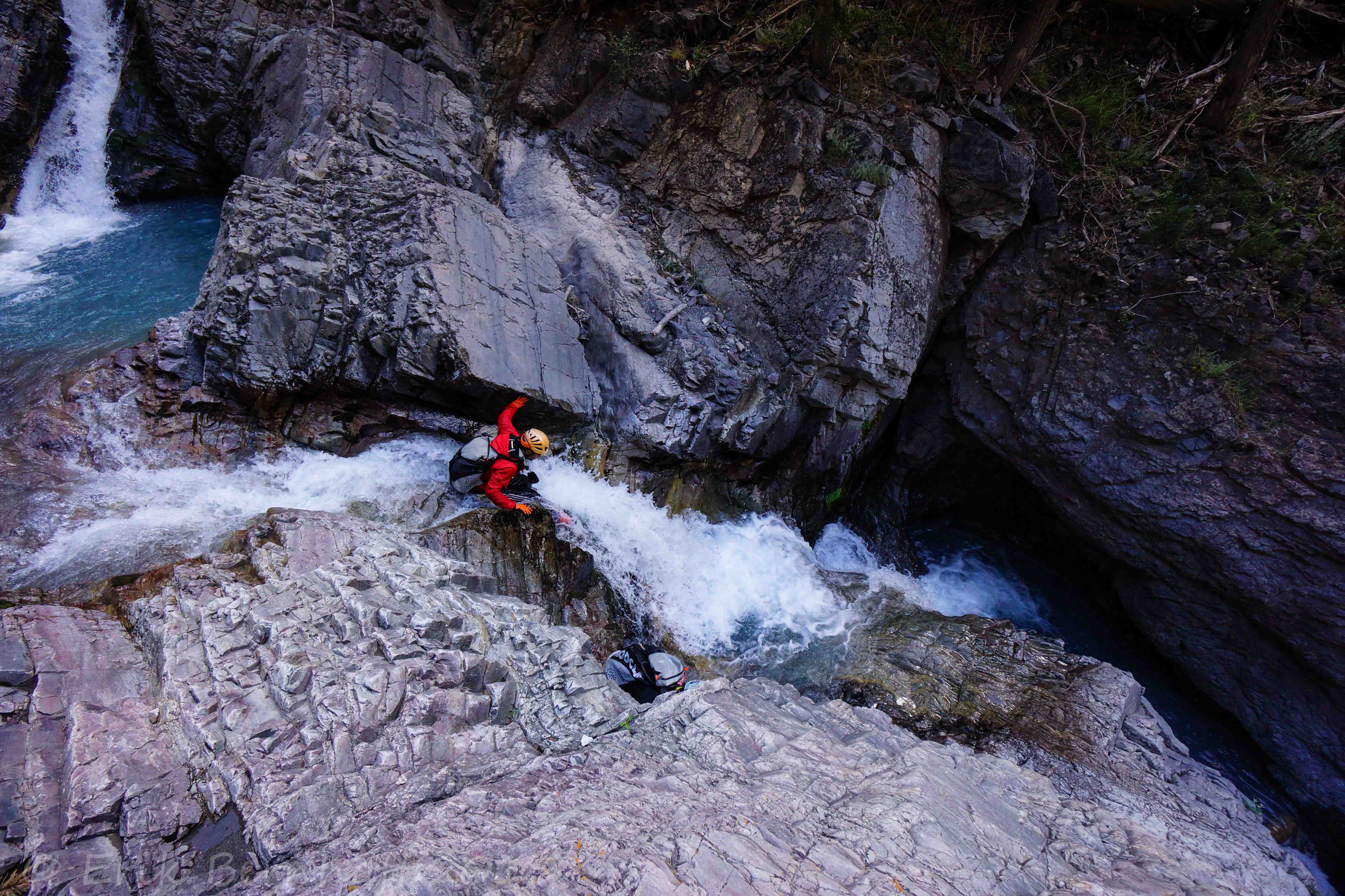
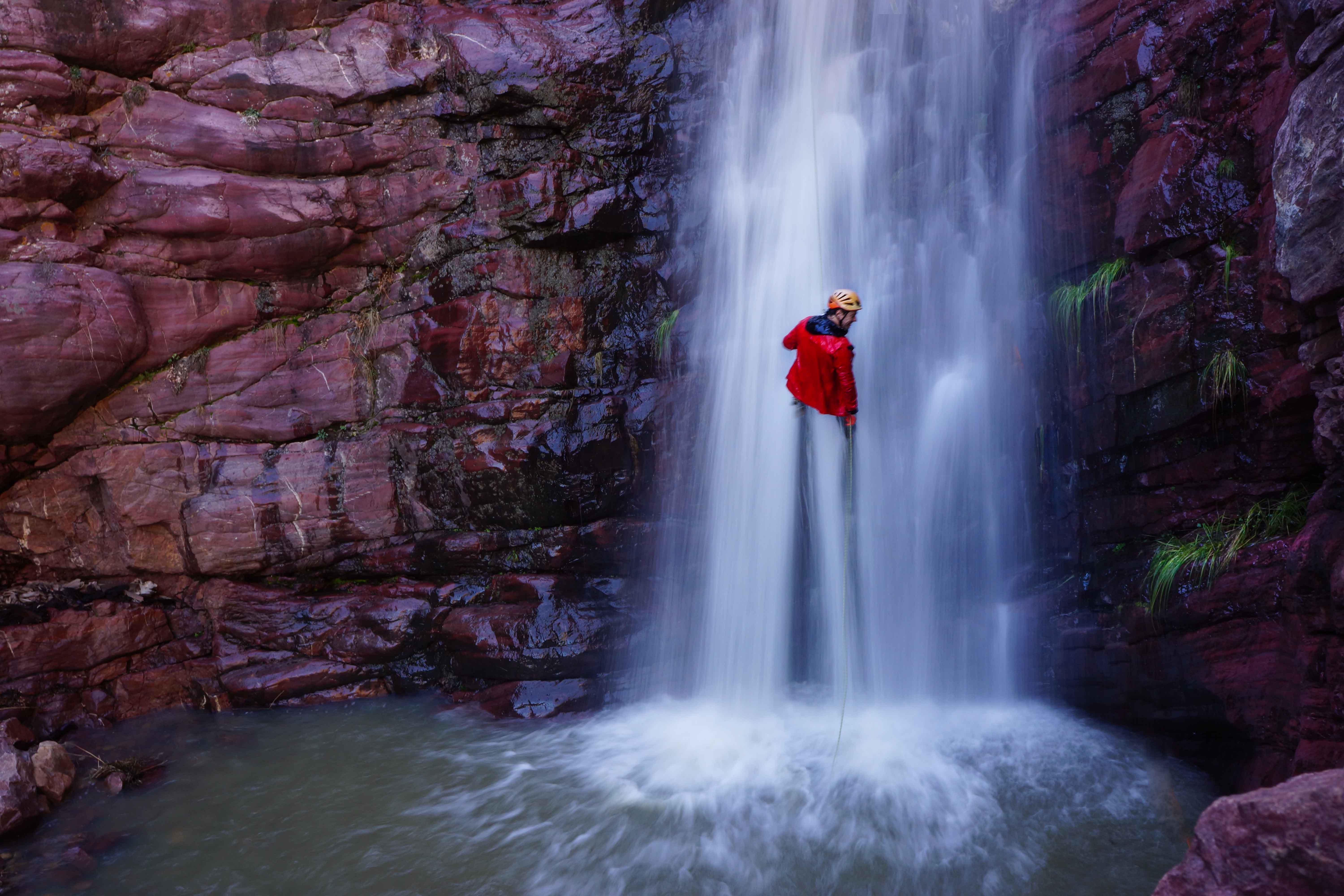
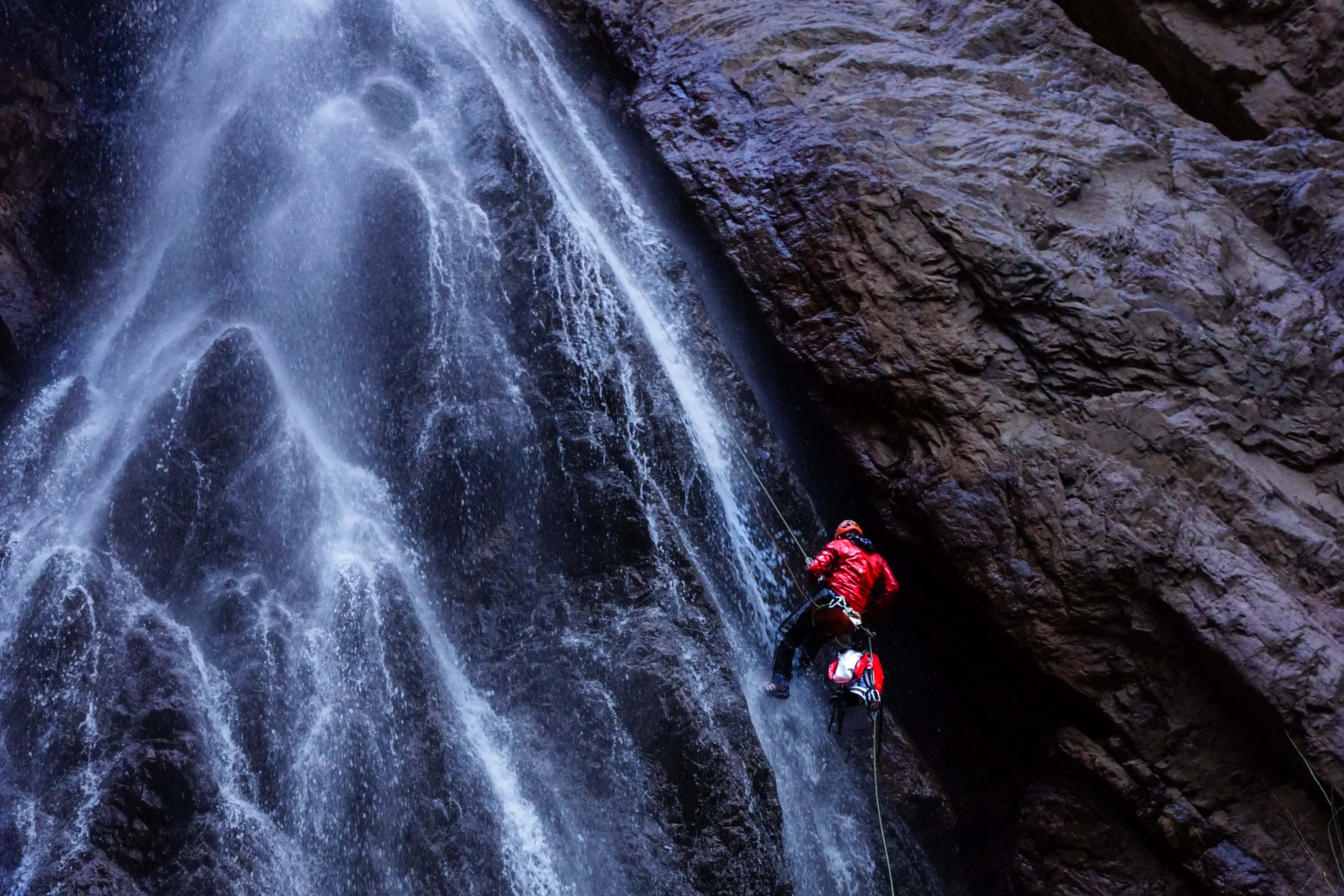
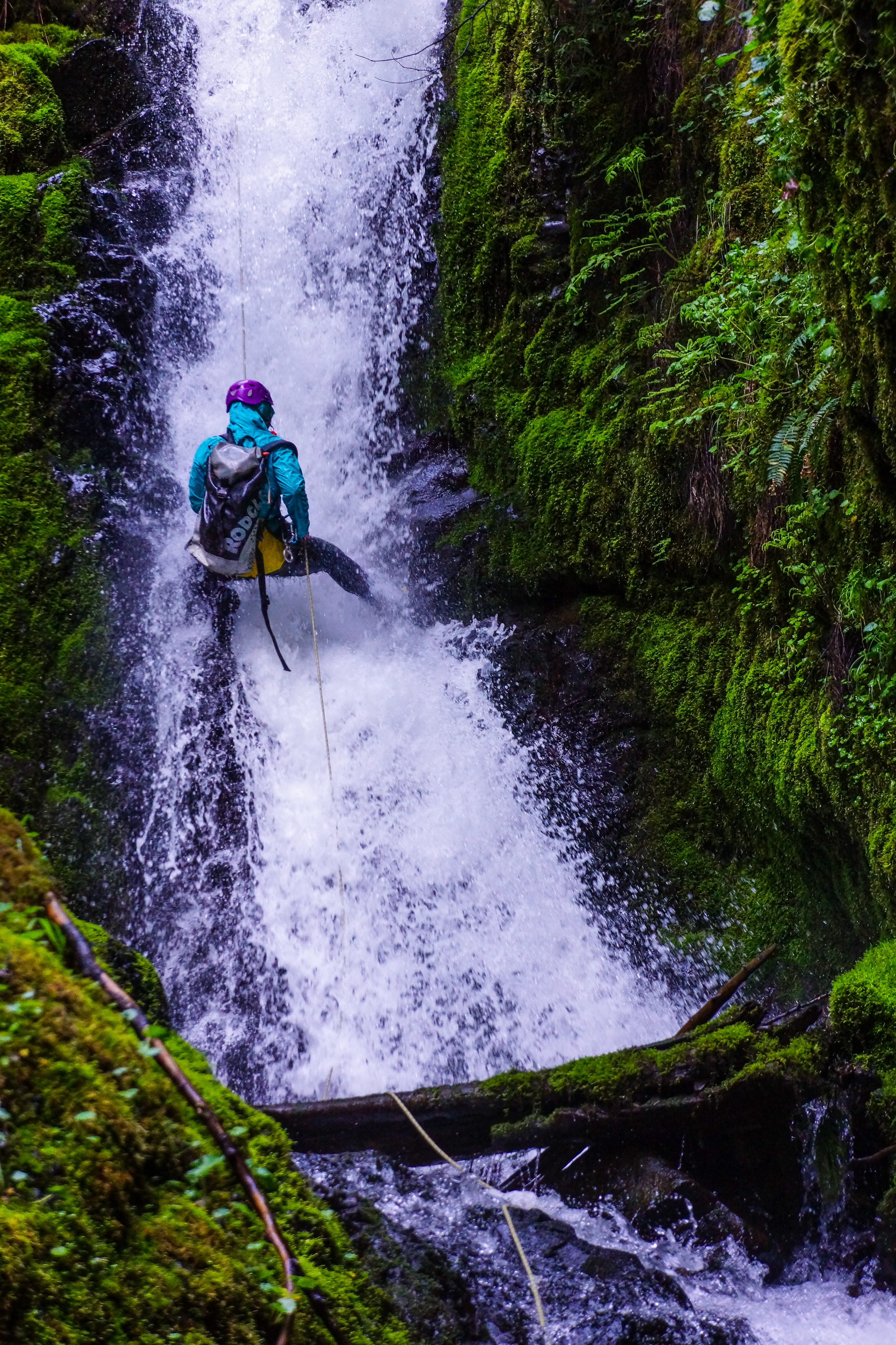
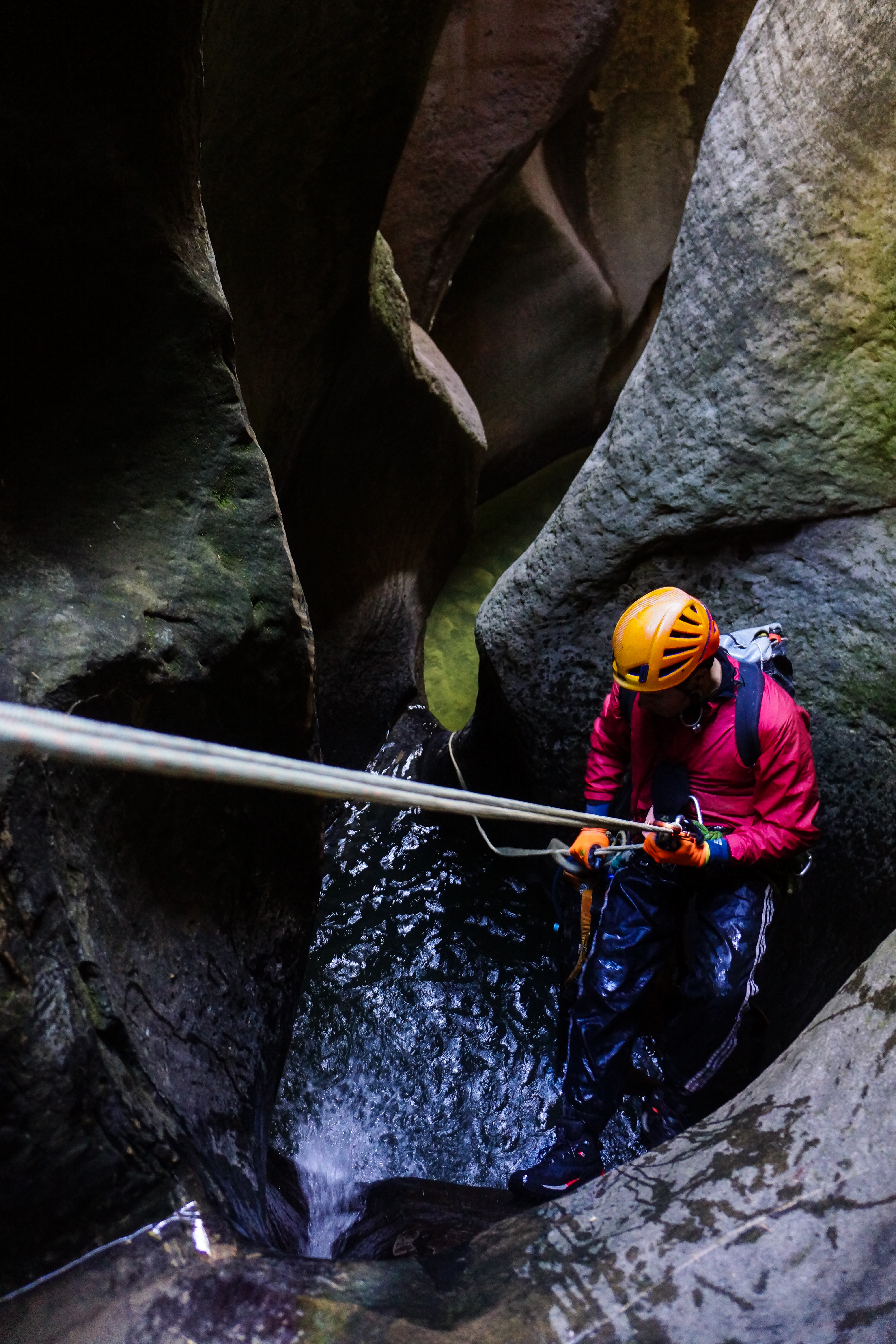
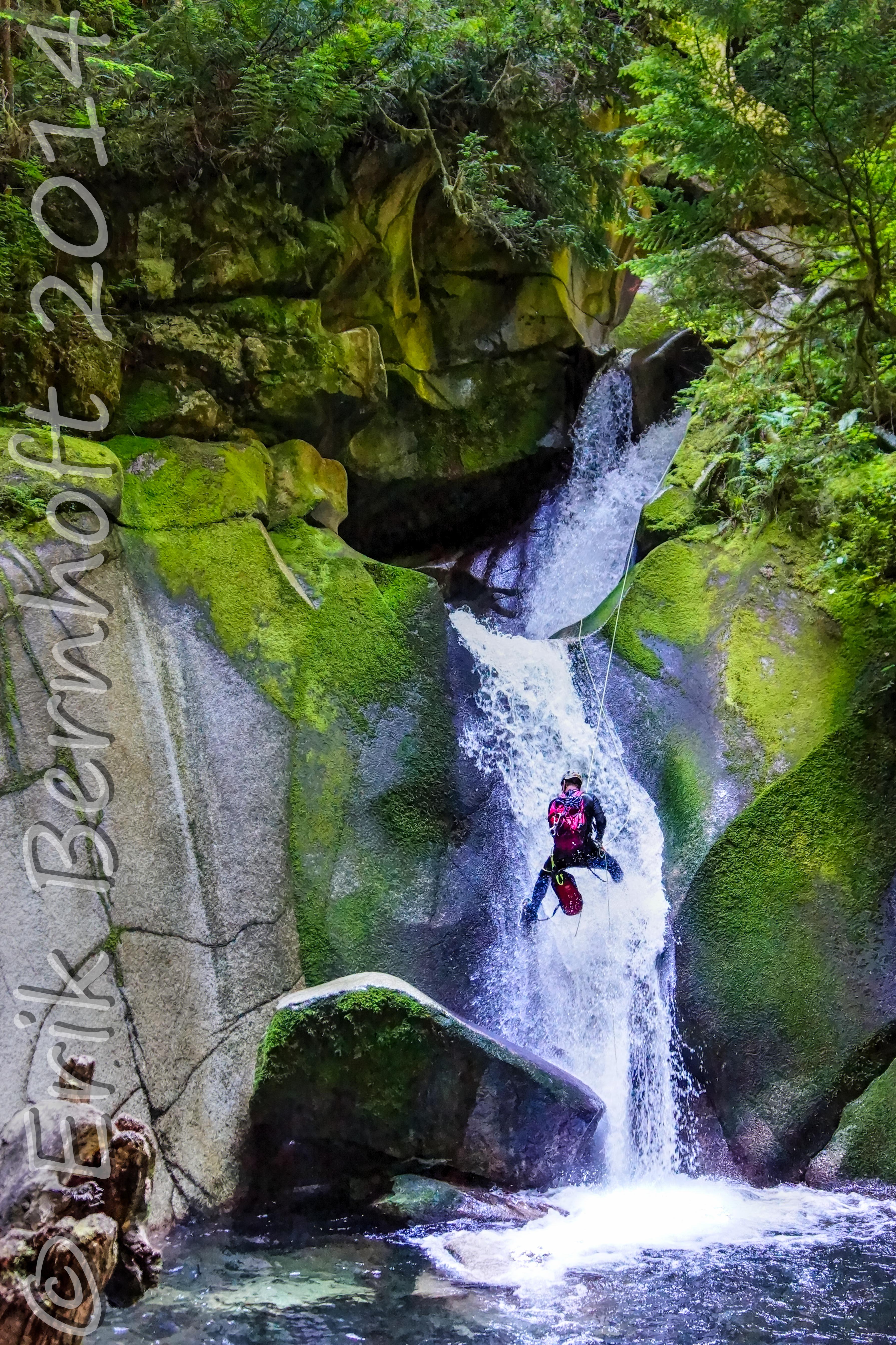
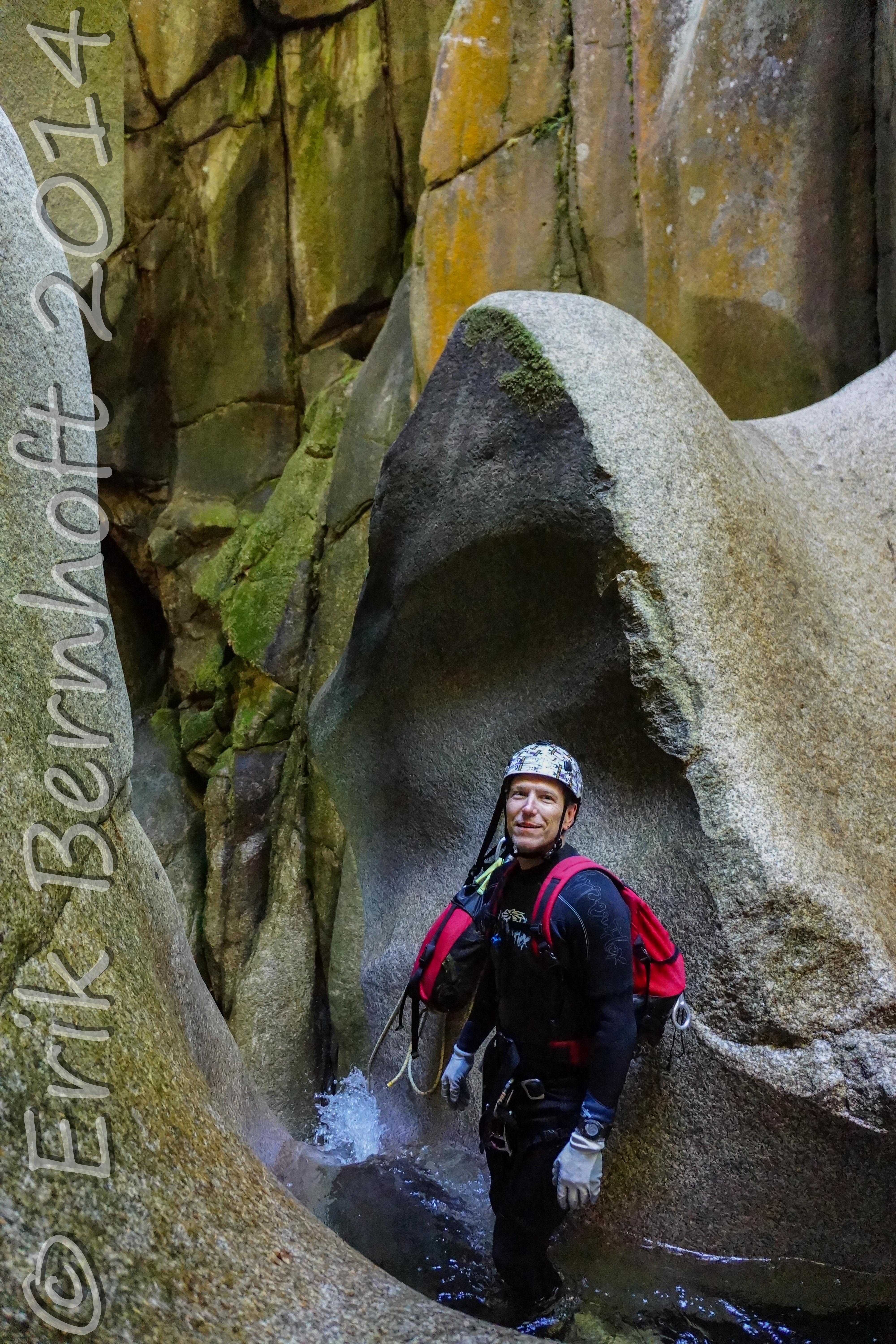
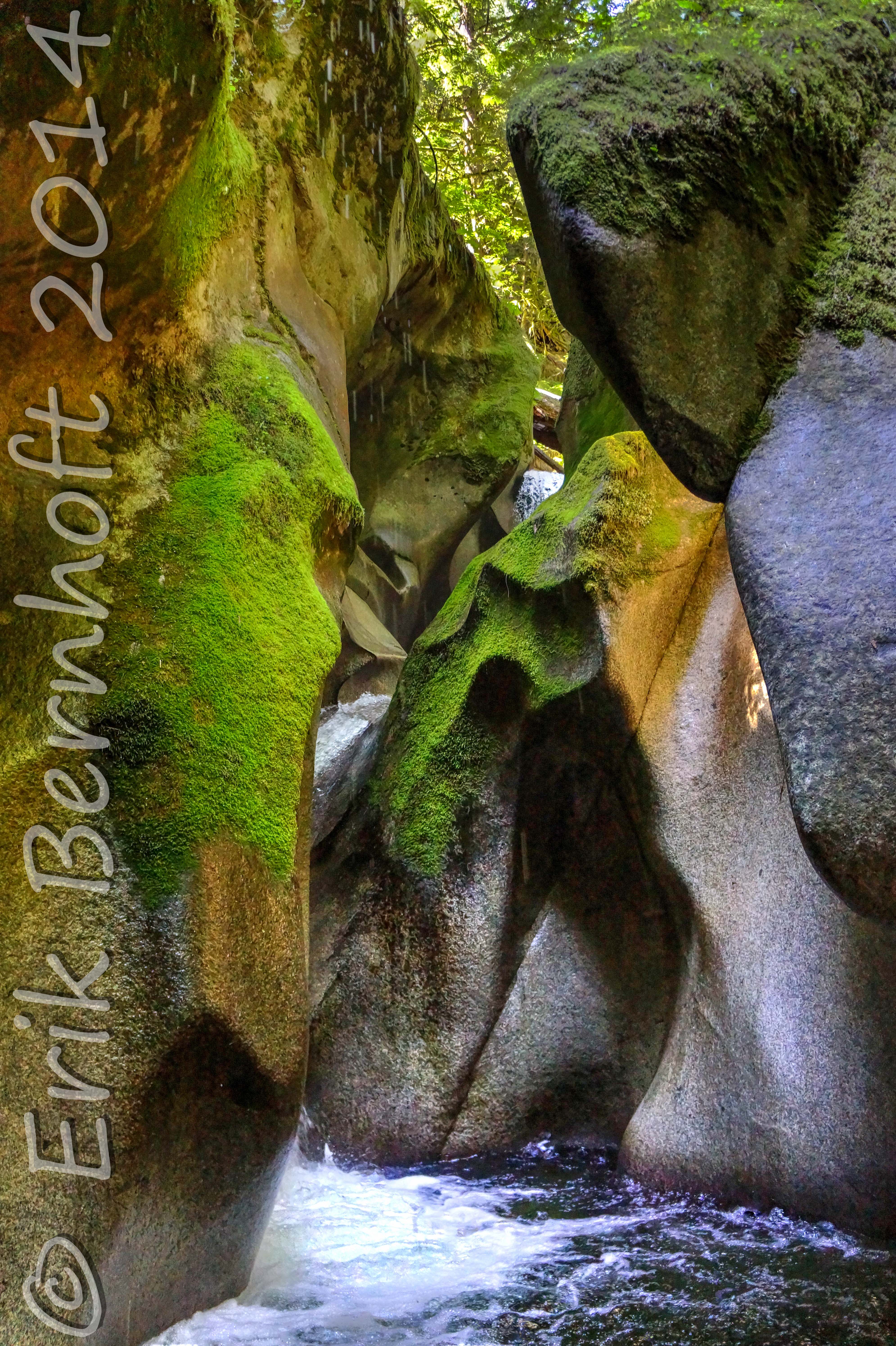
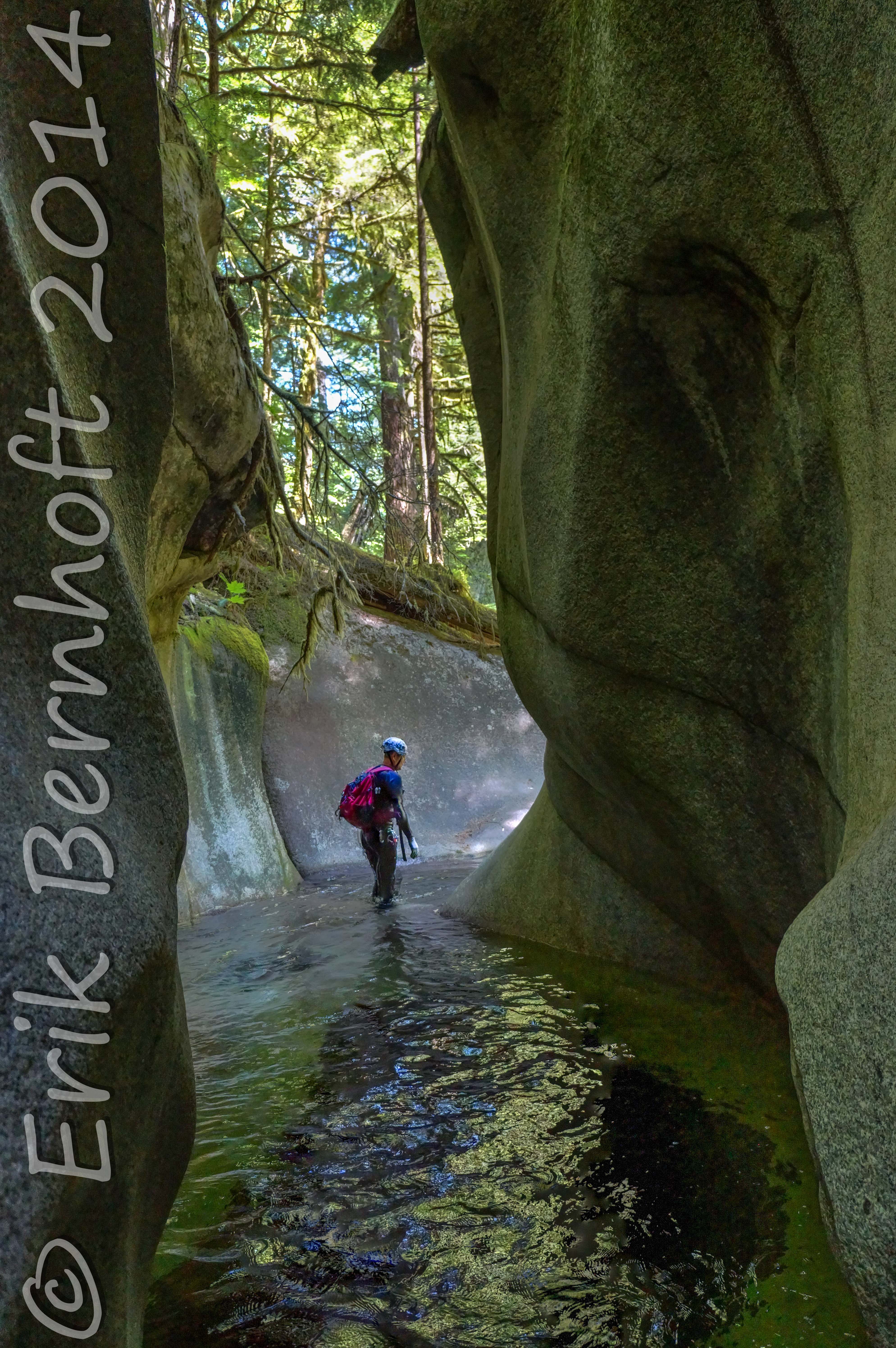
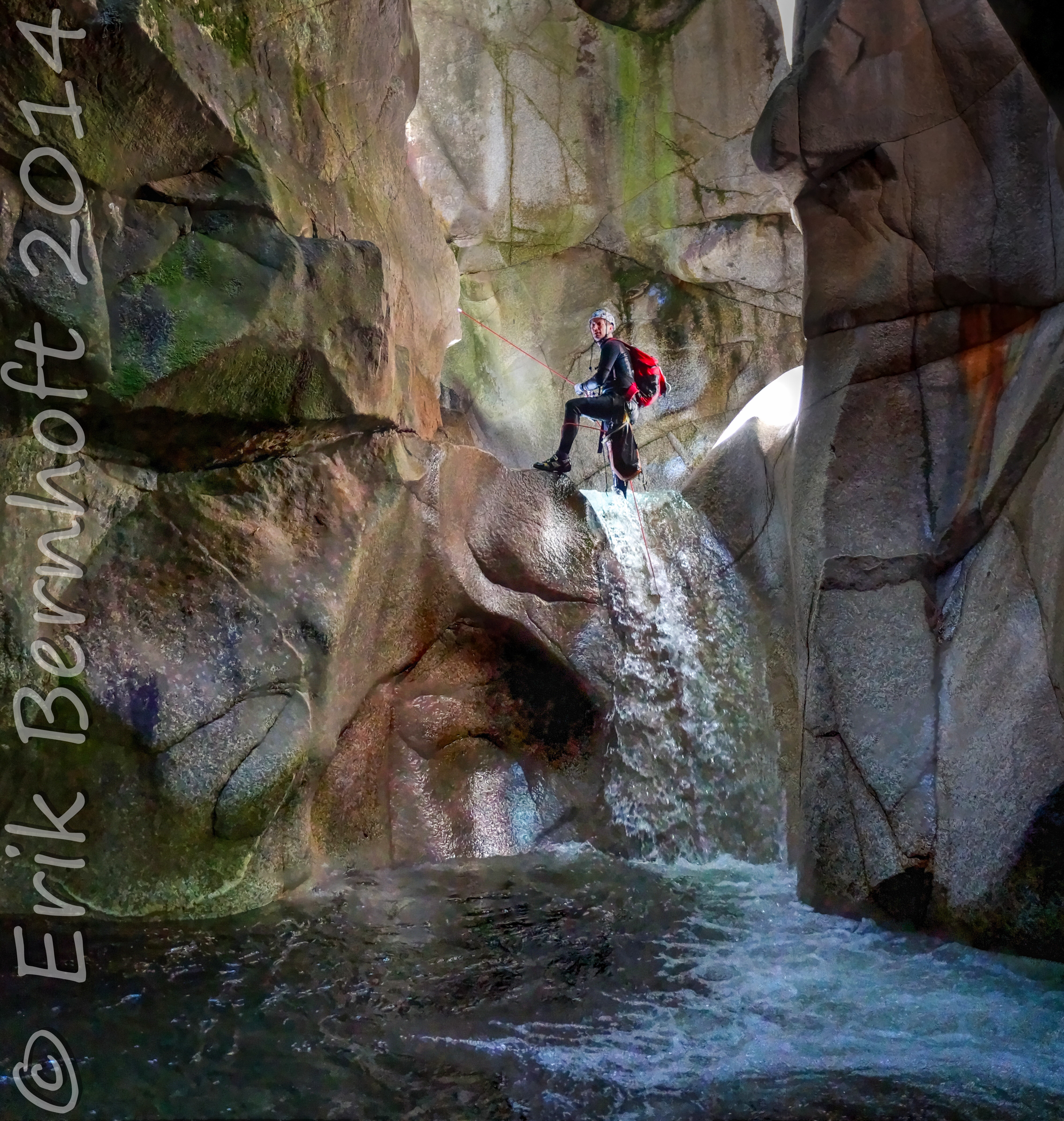
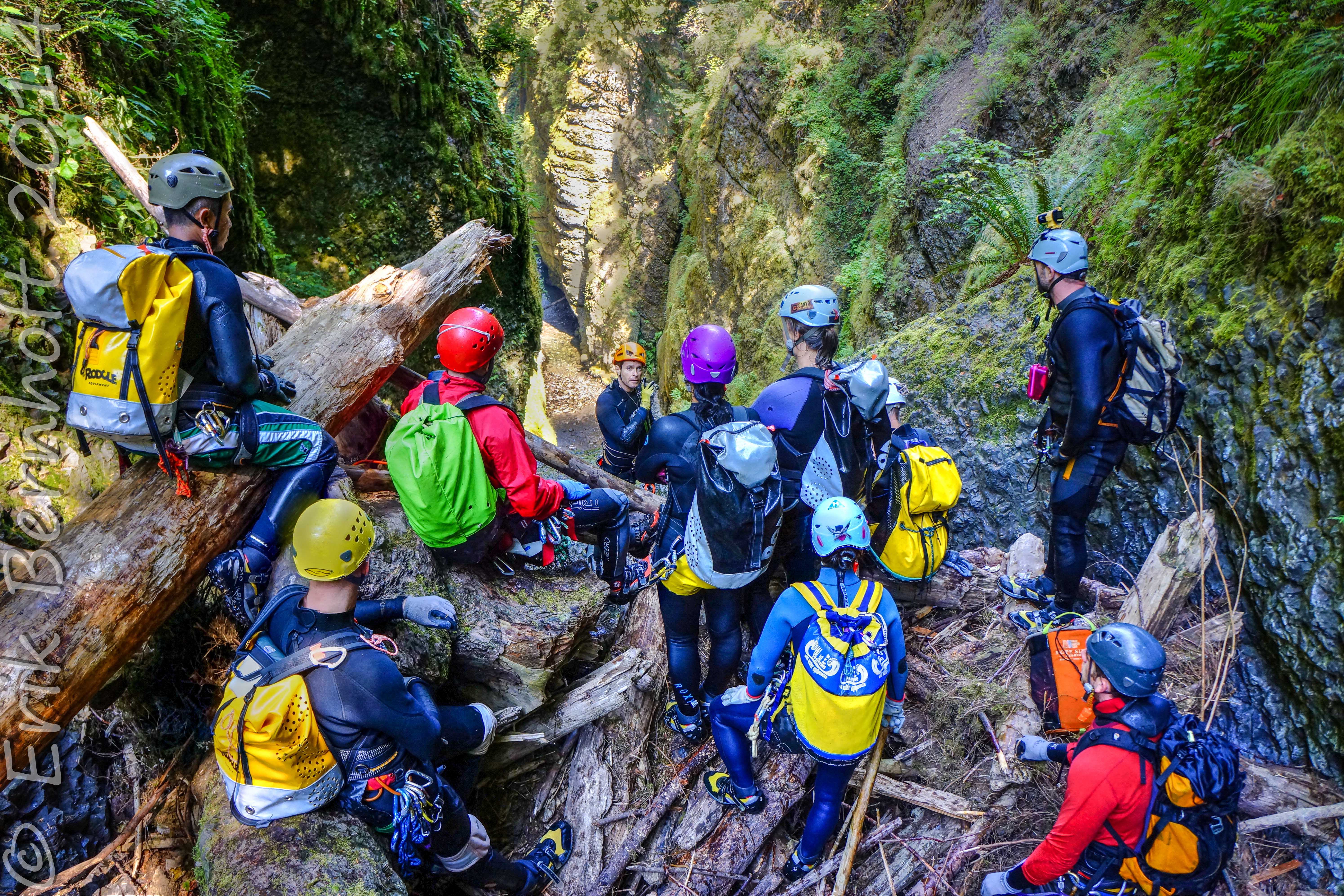
[tab title=”Canyoneering”]
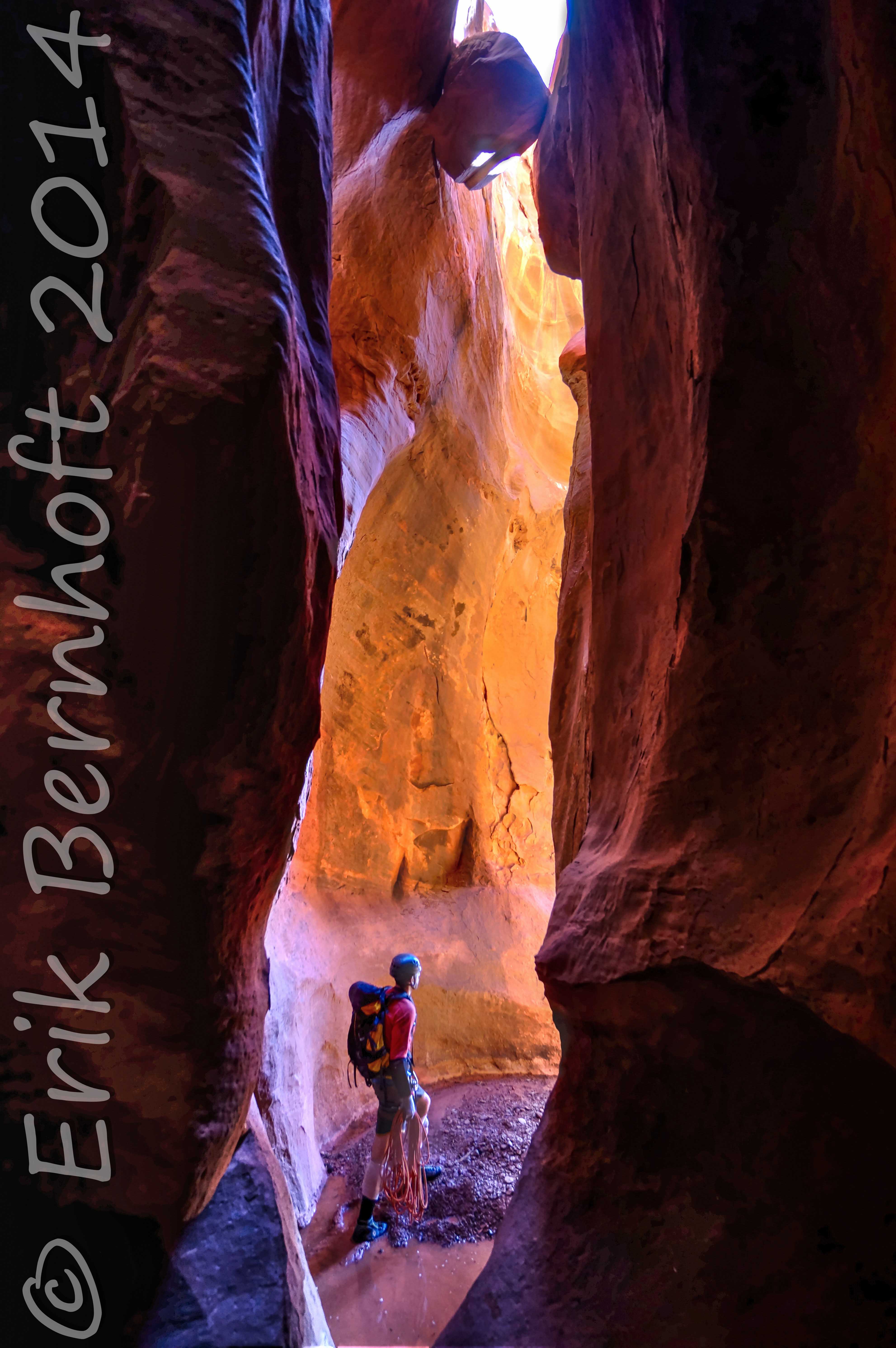
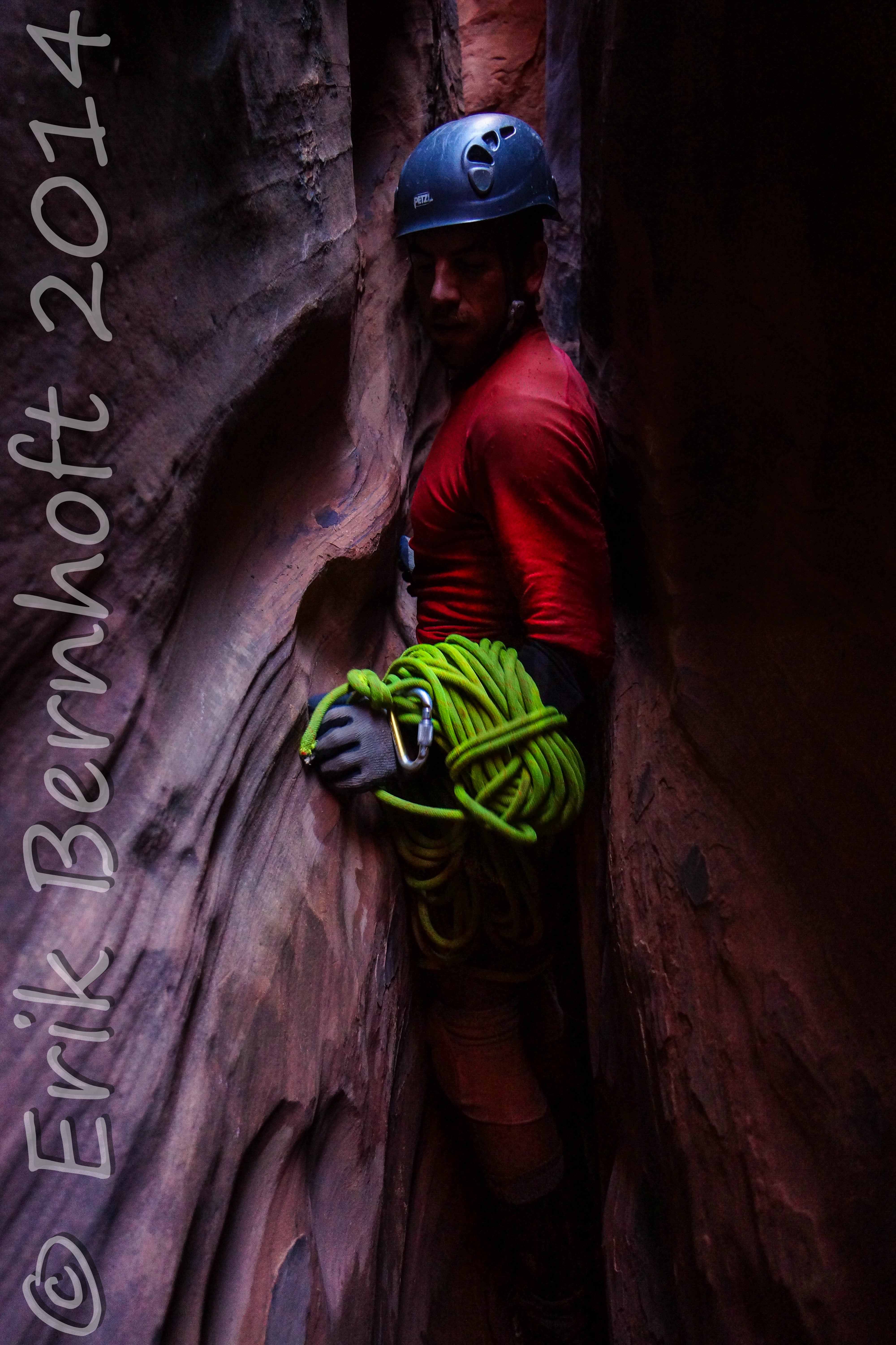
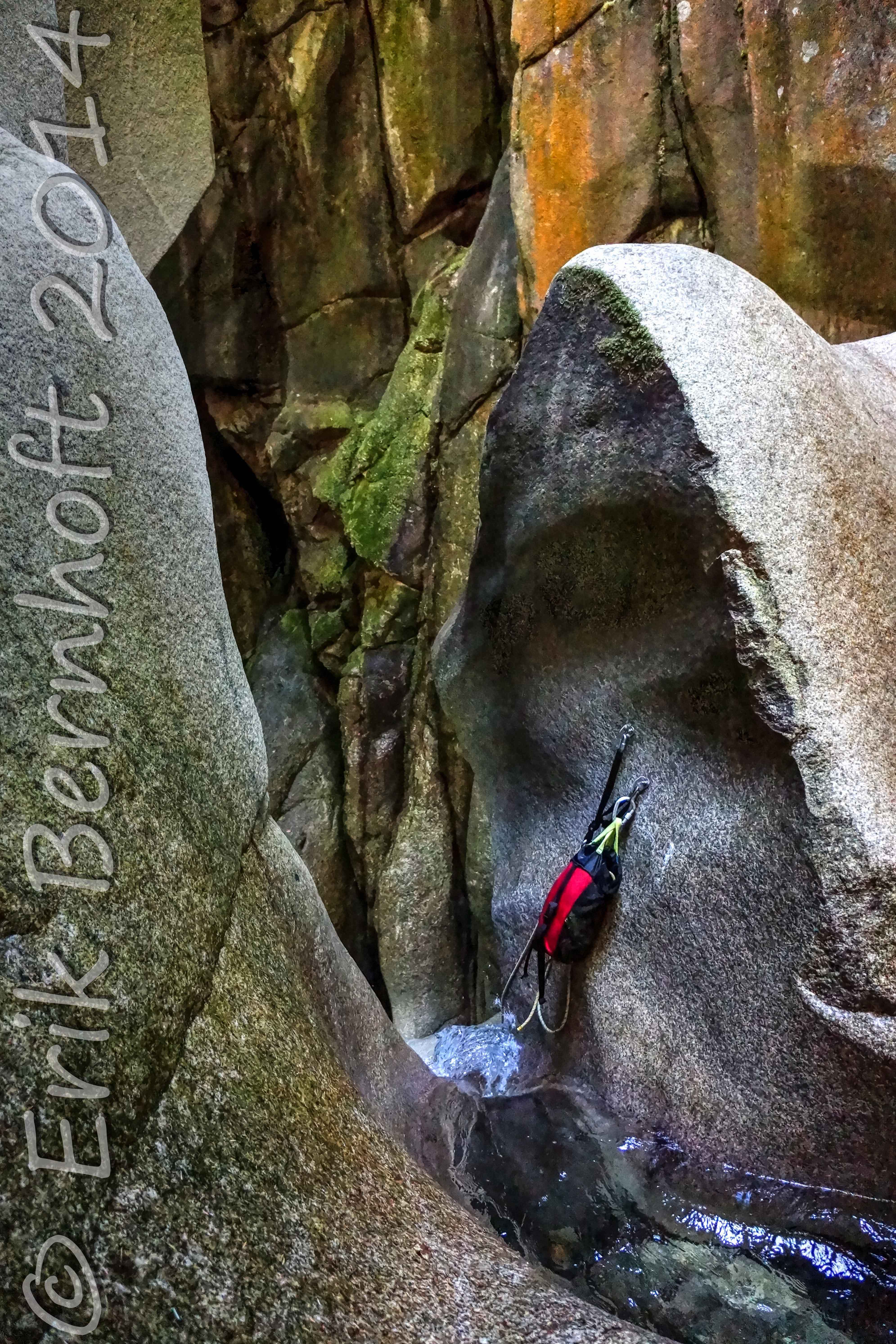
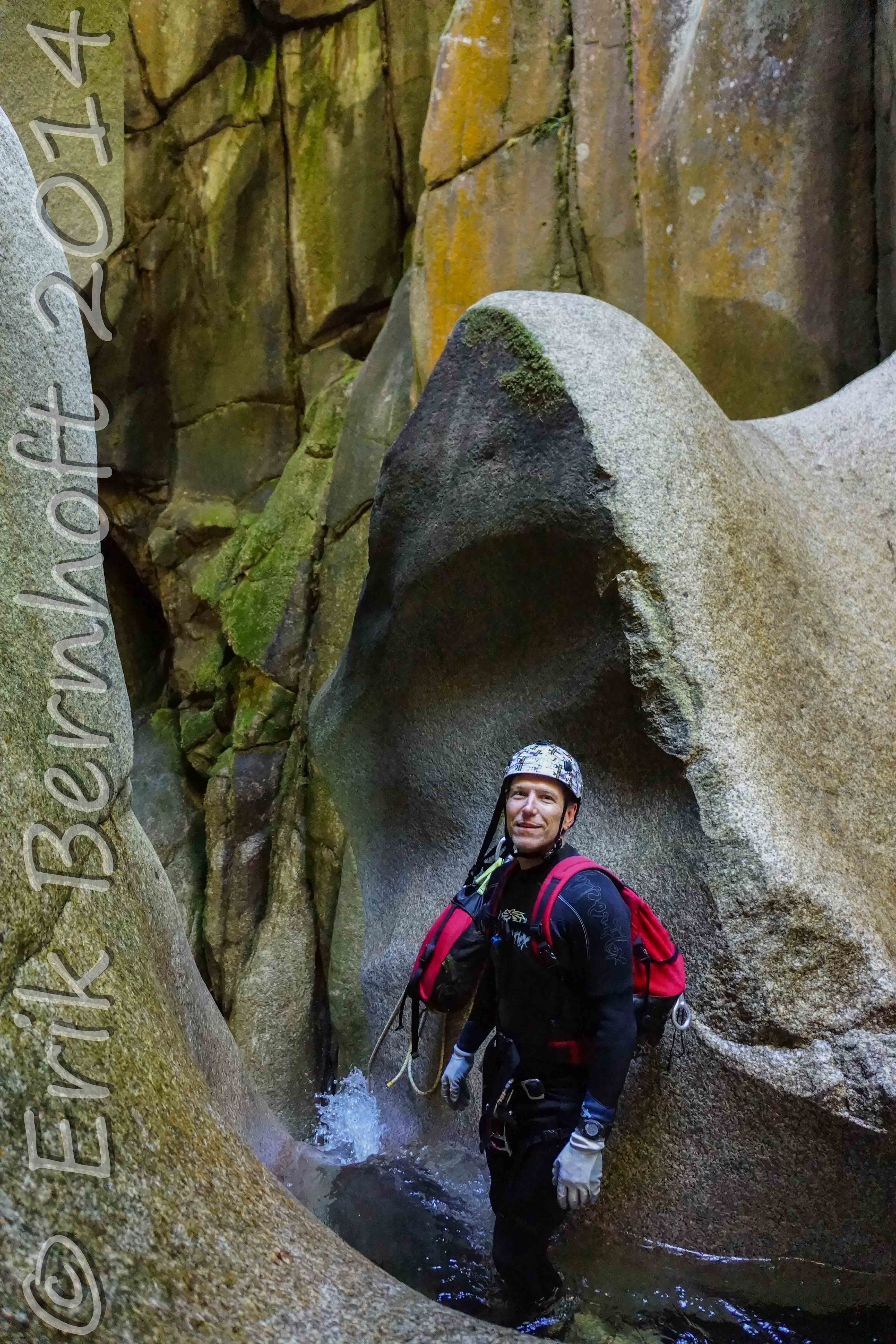
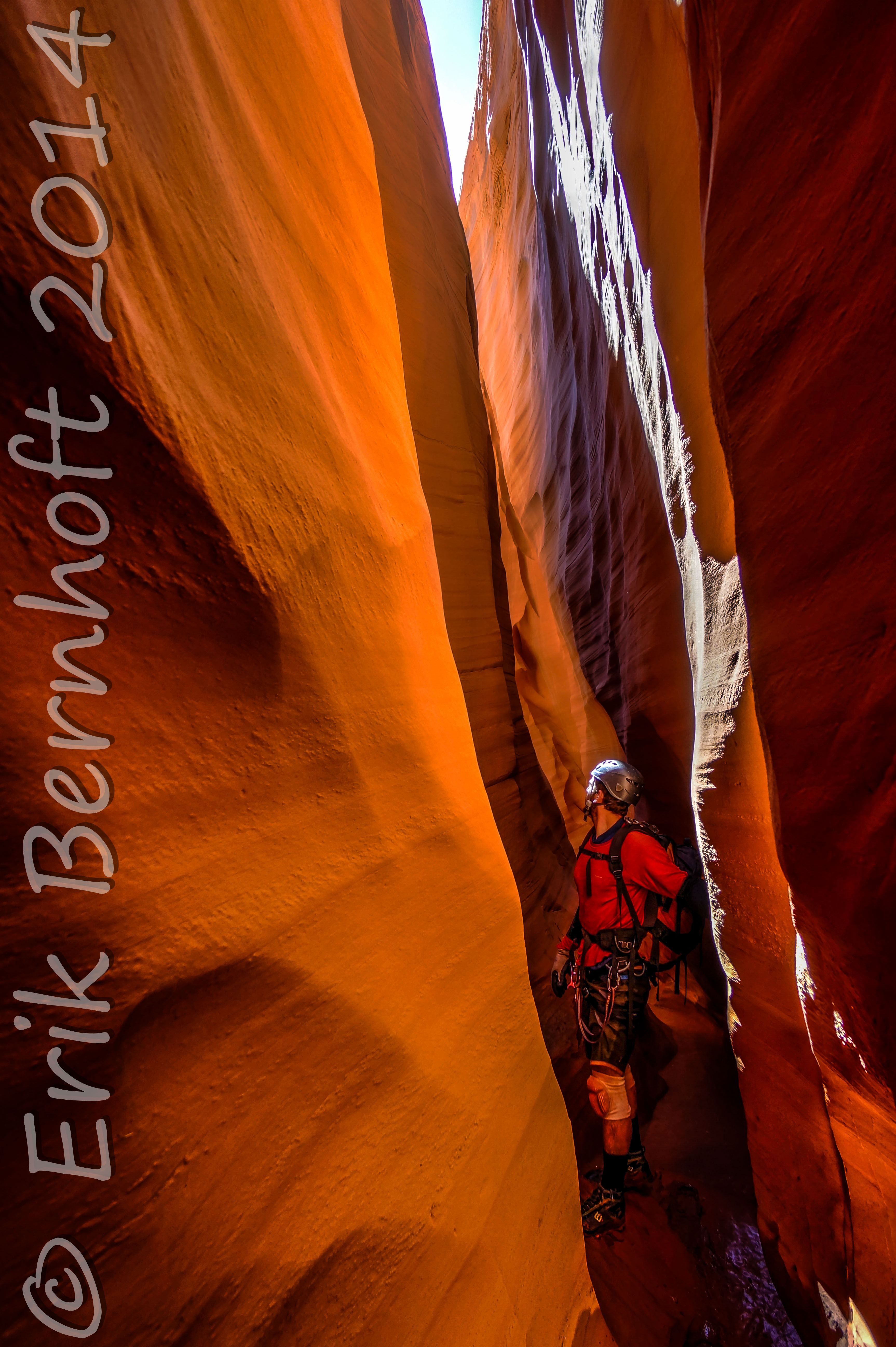
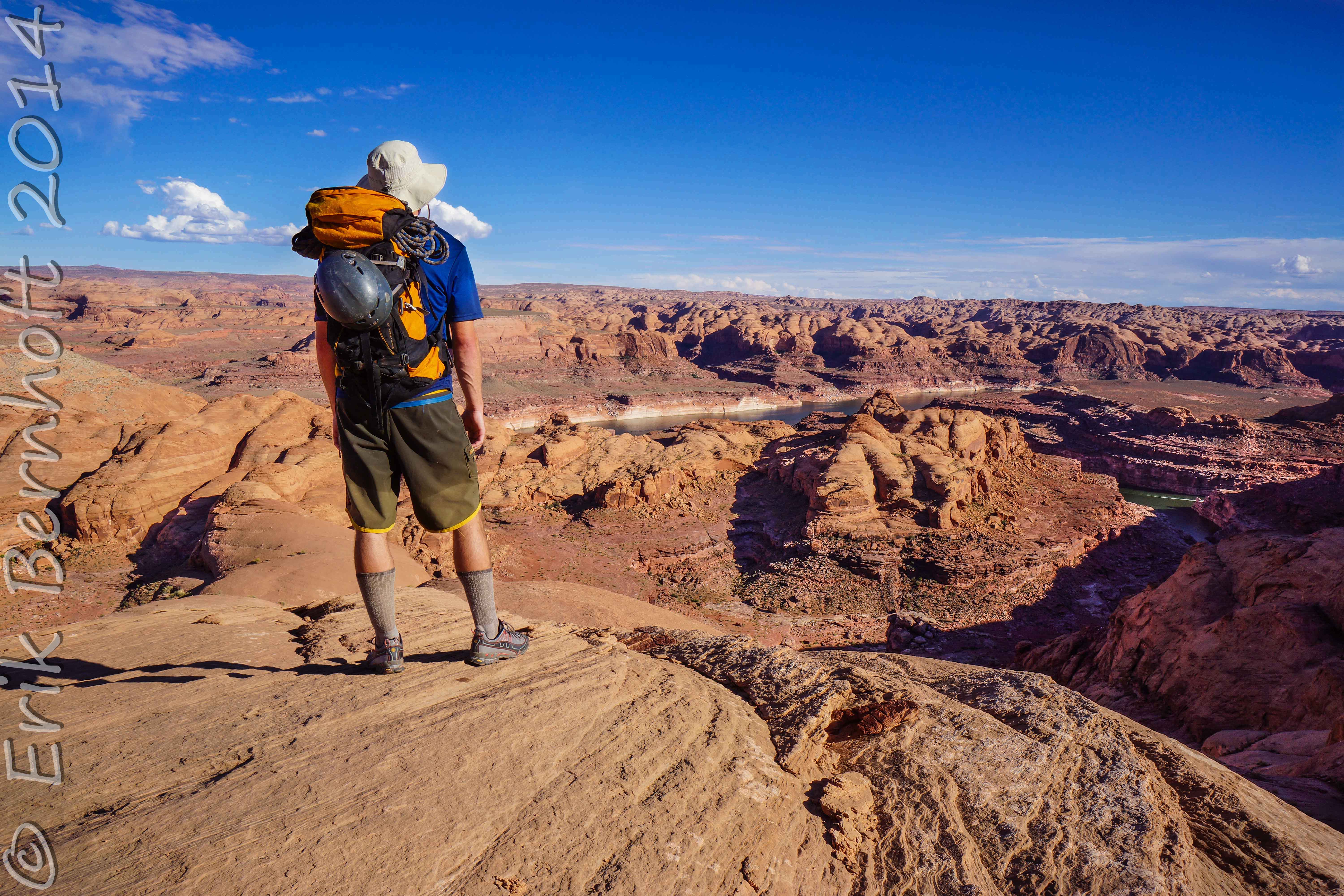
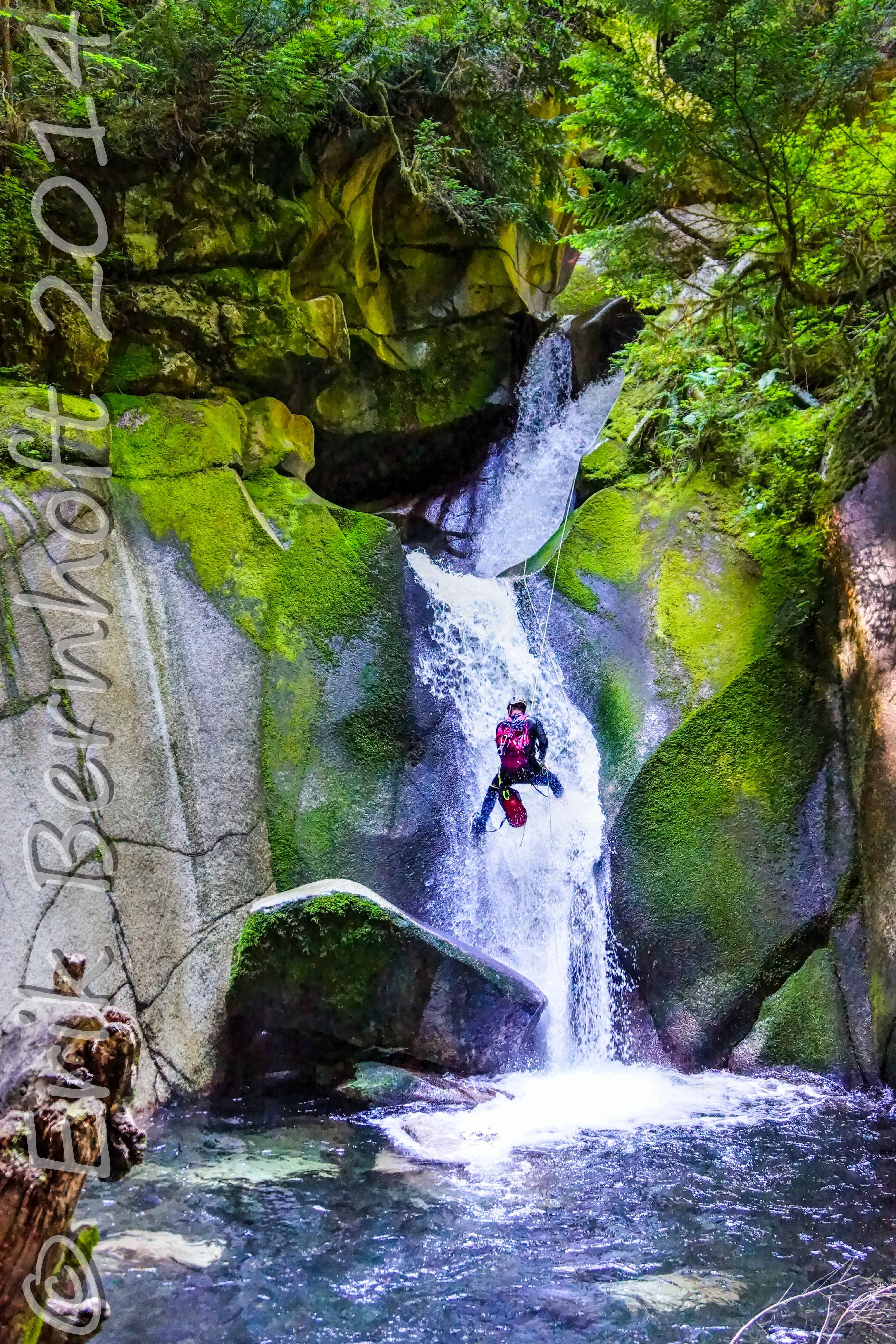
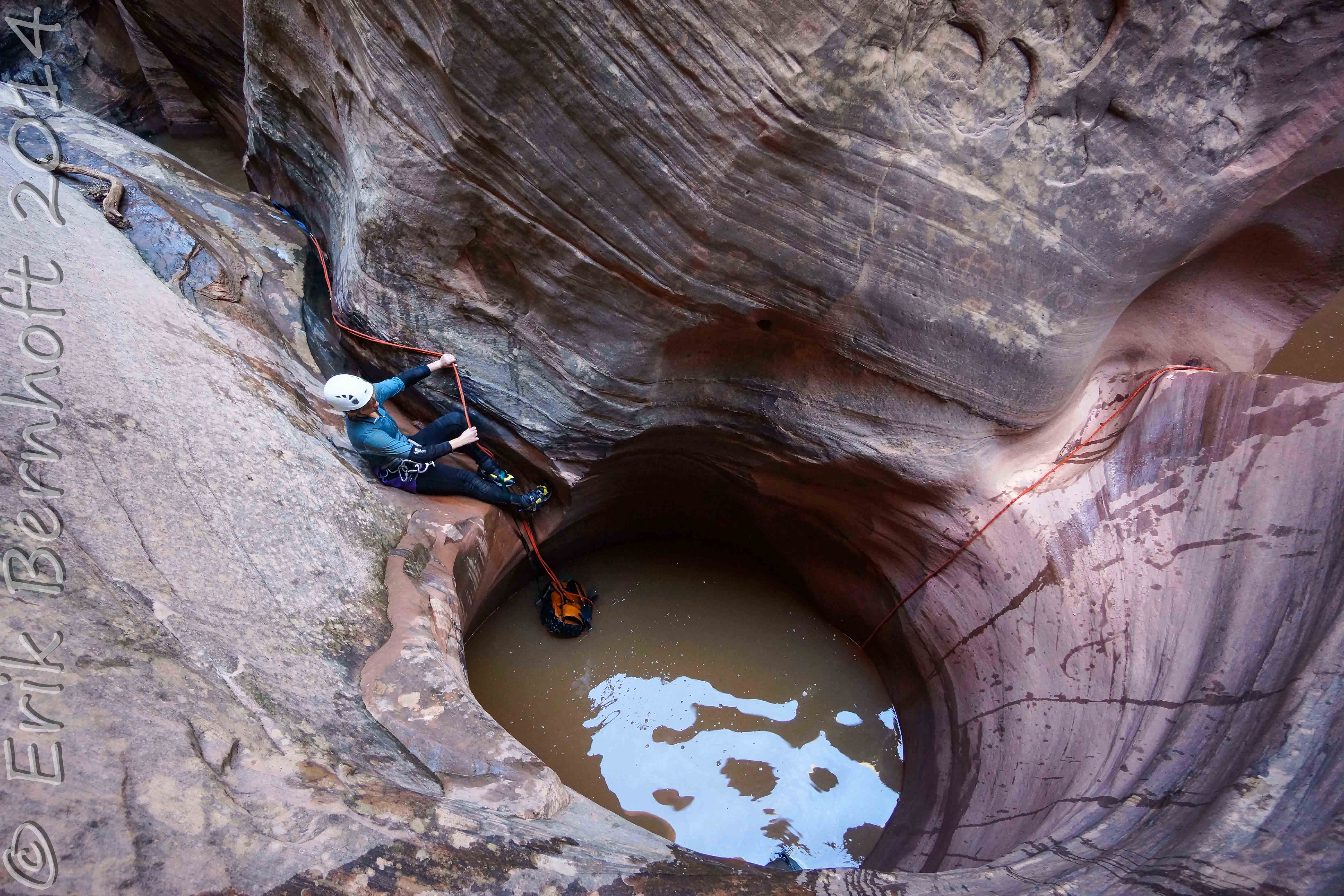
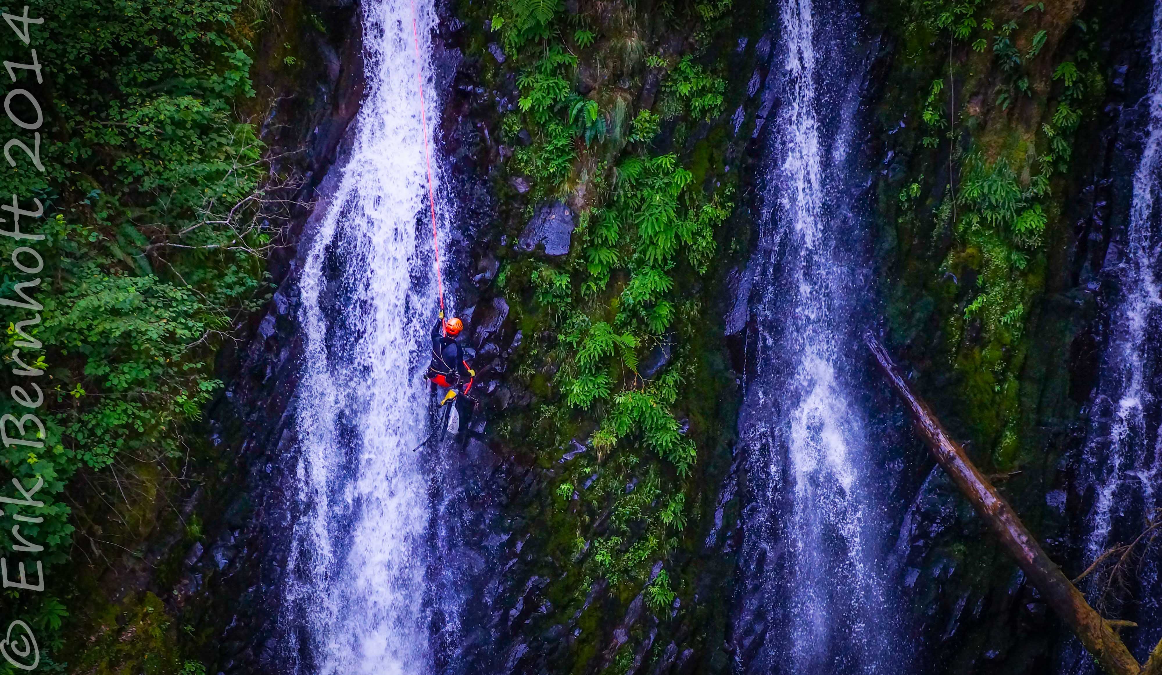
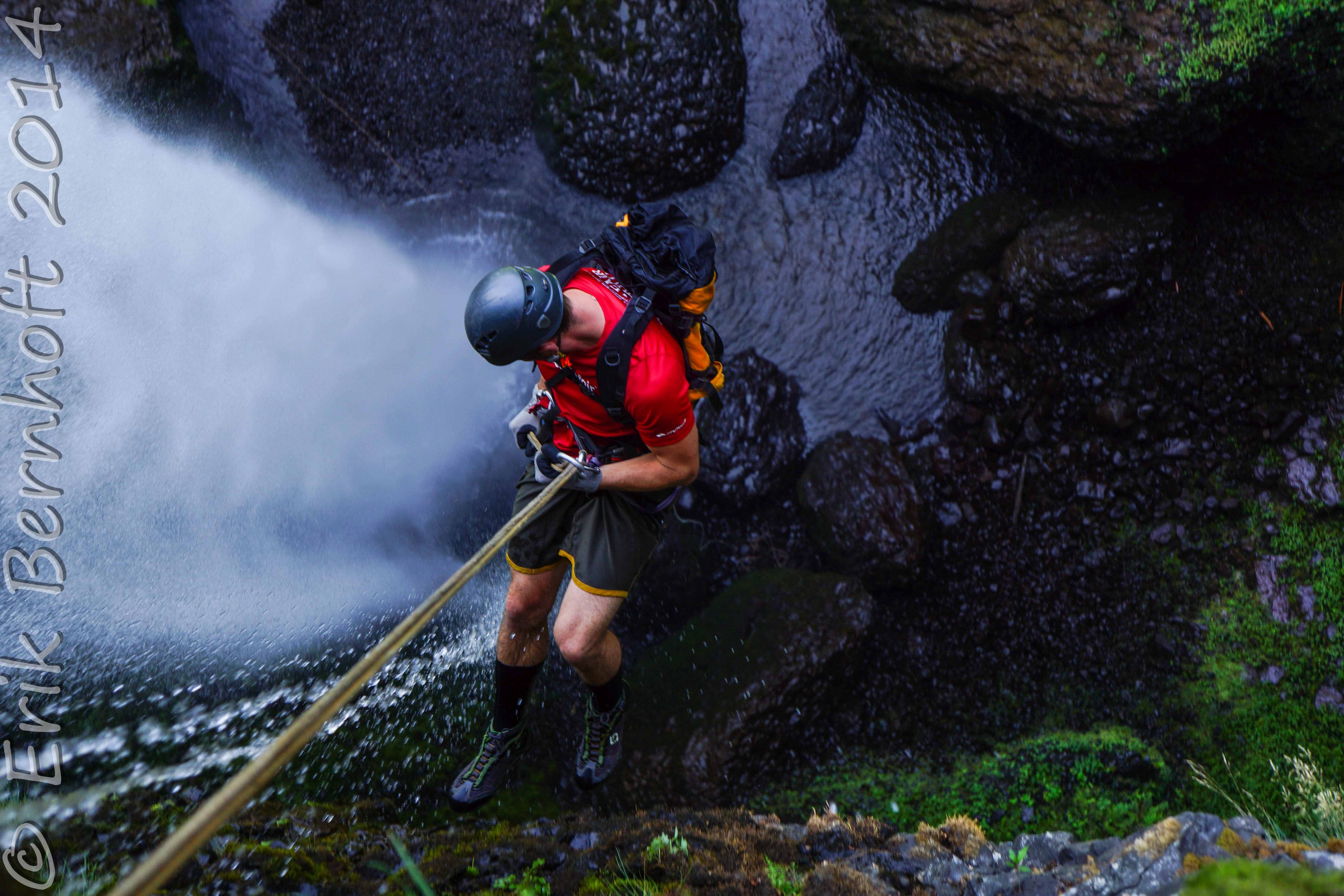
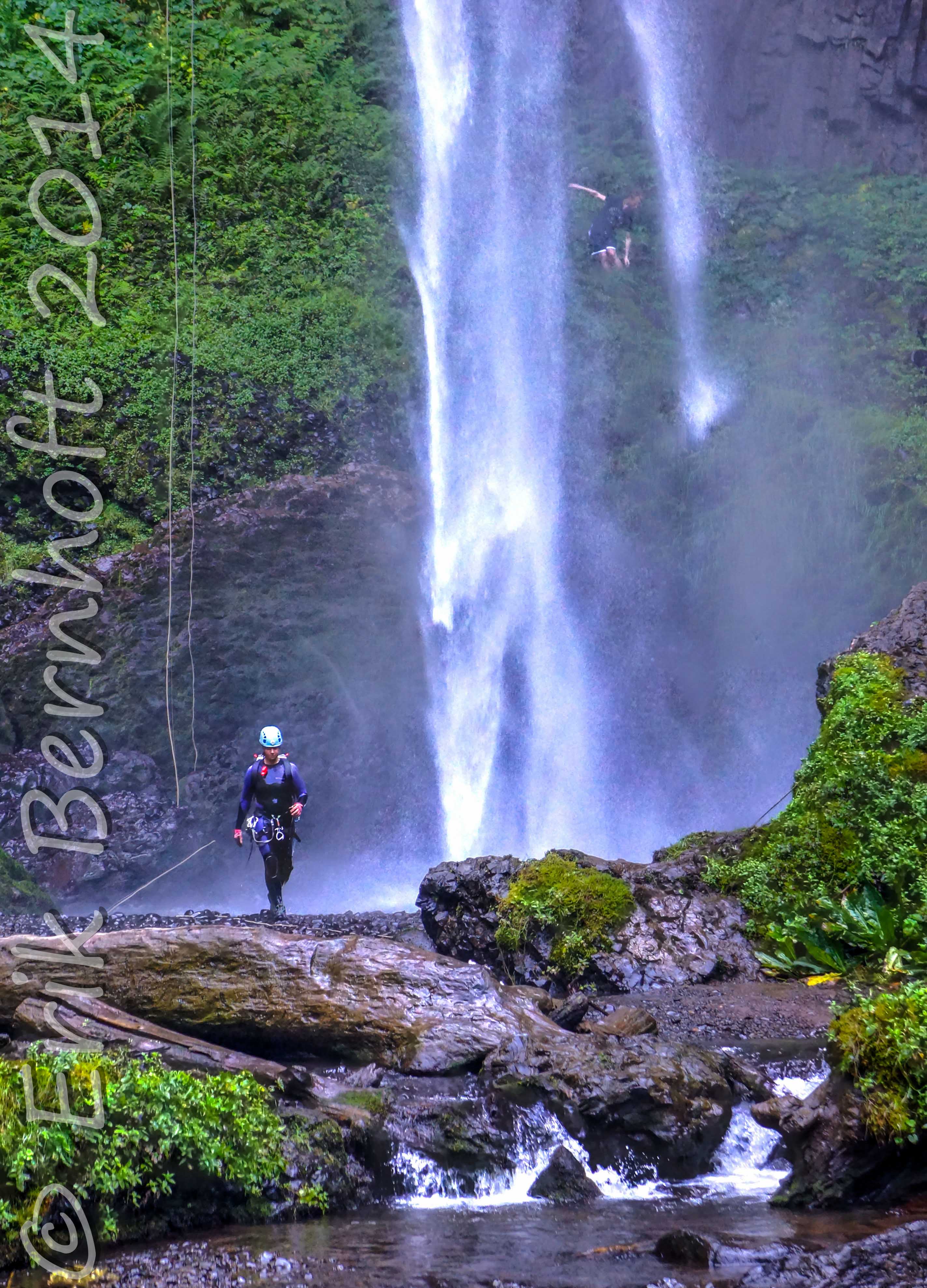
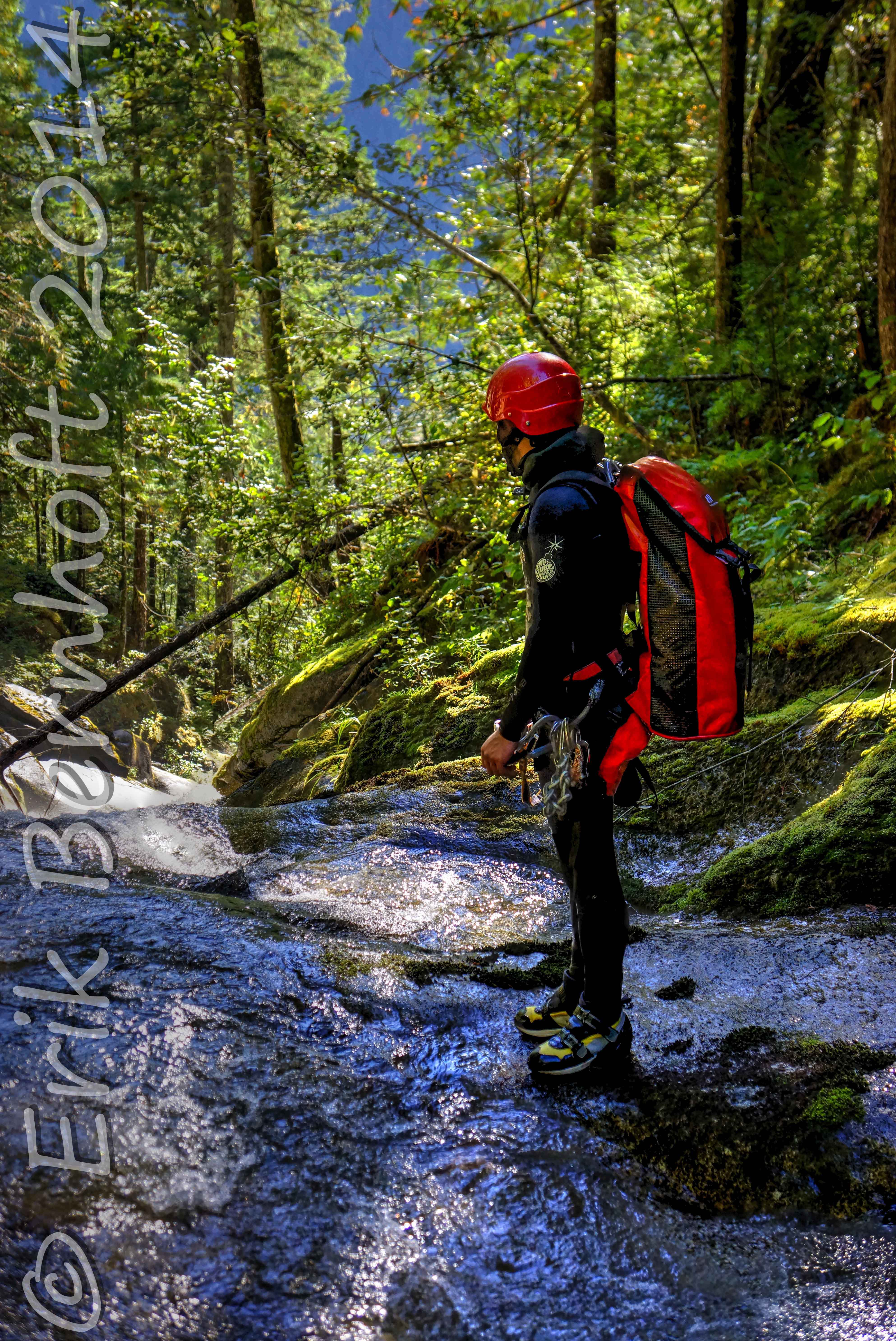
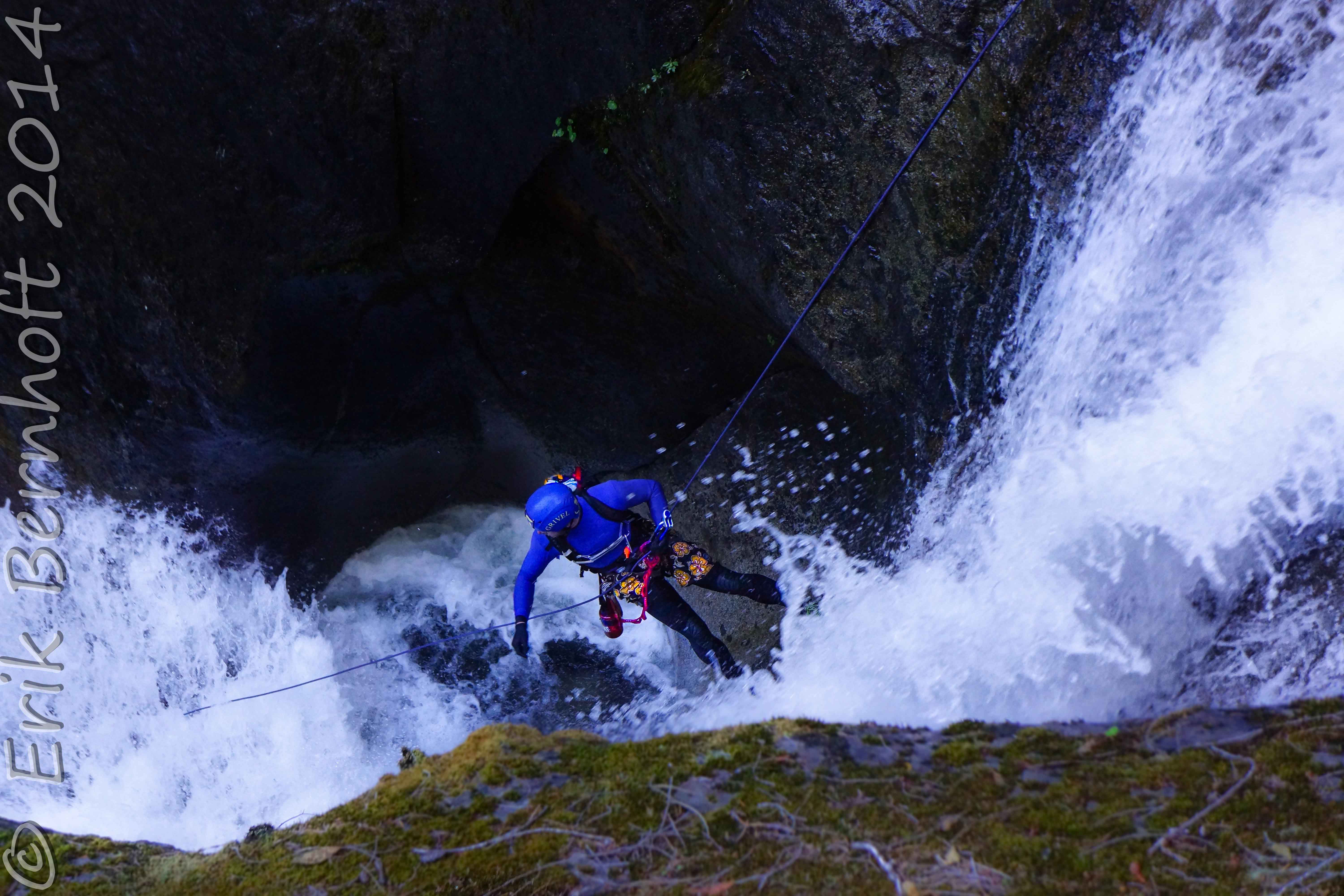
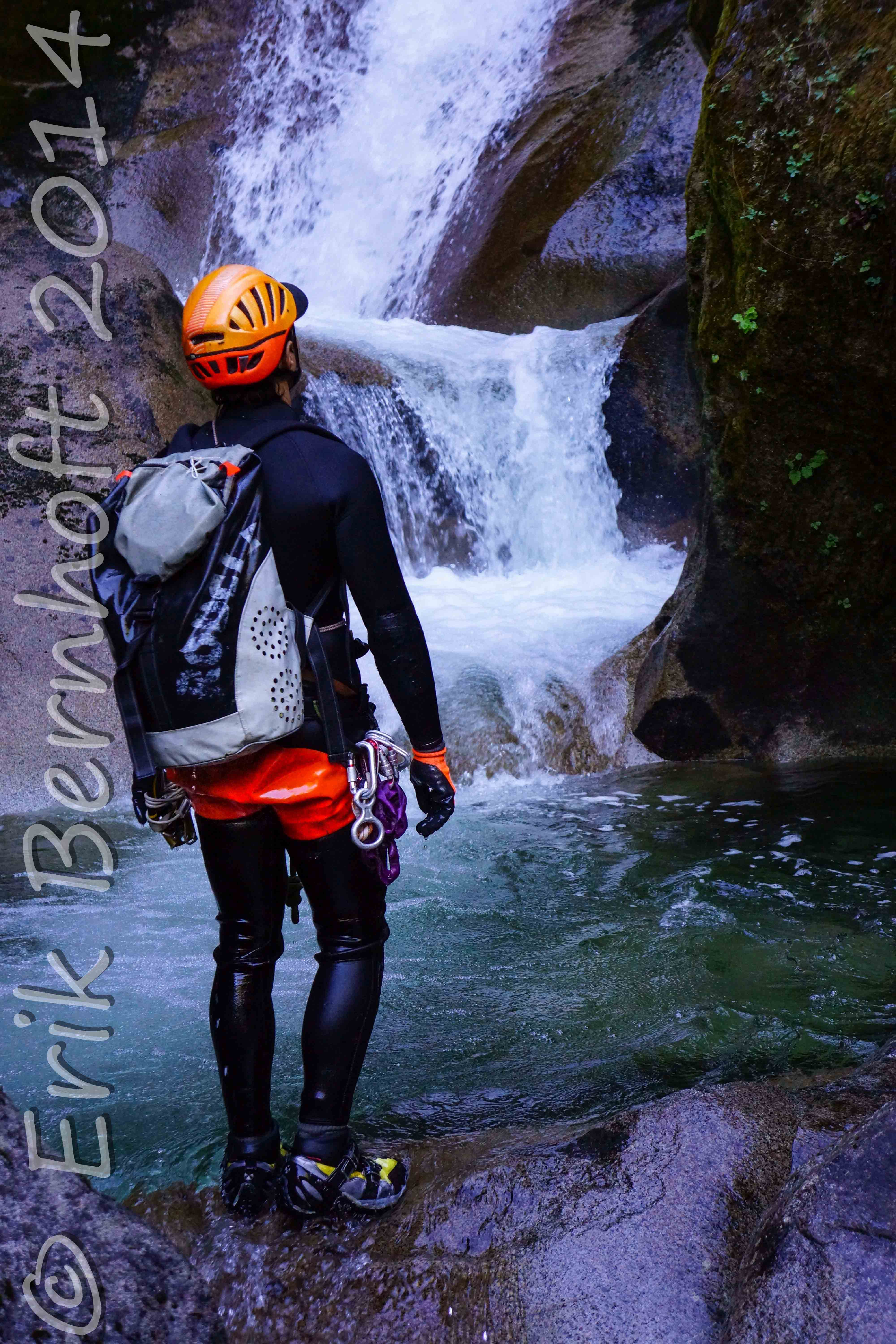
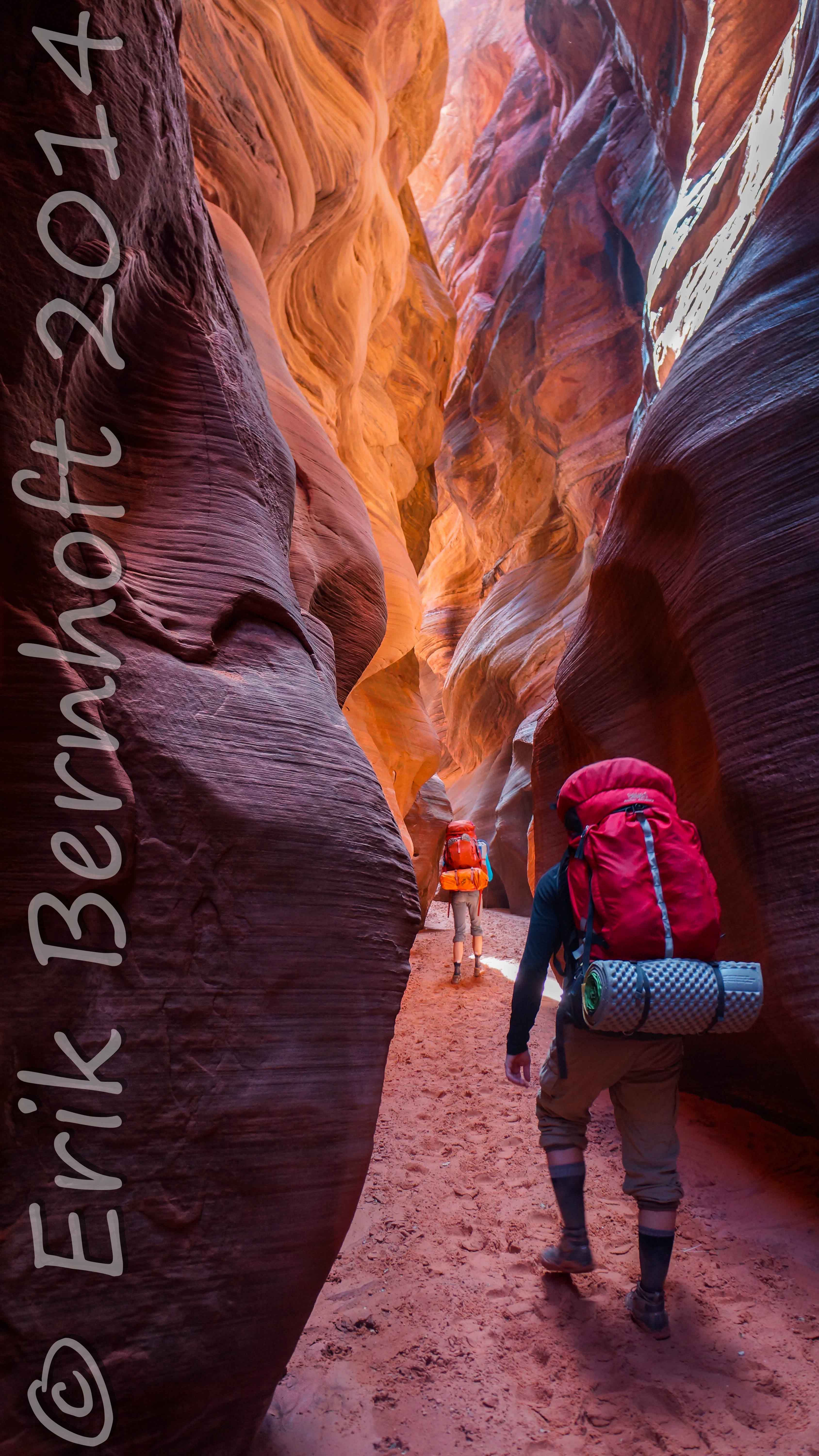
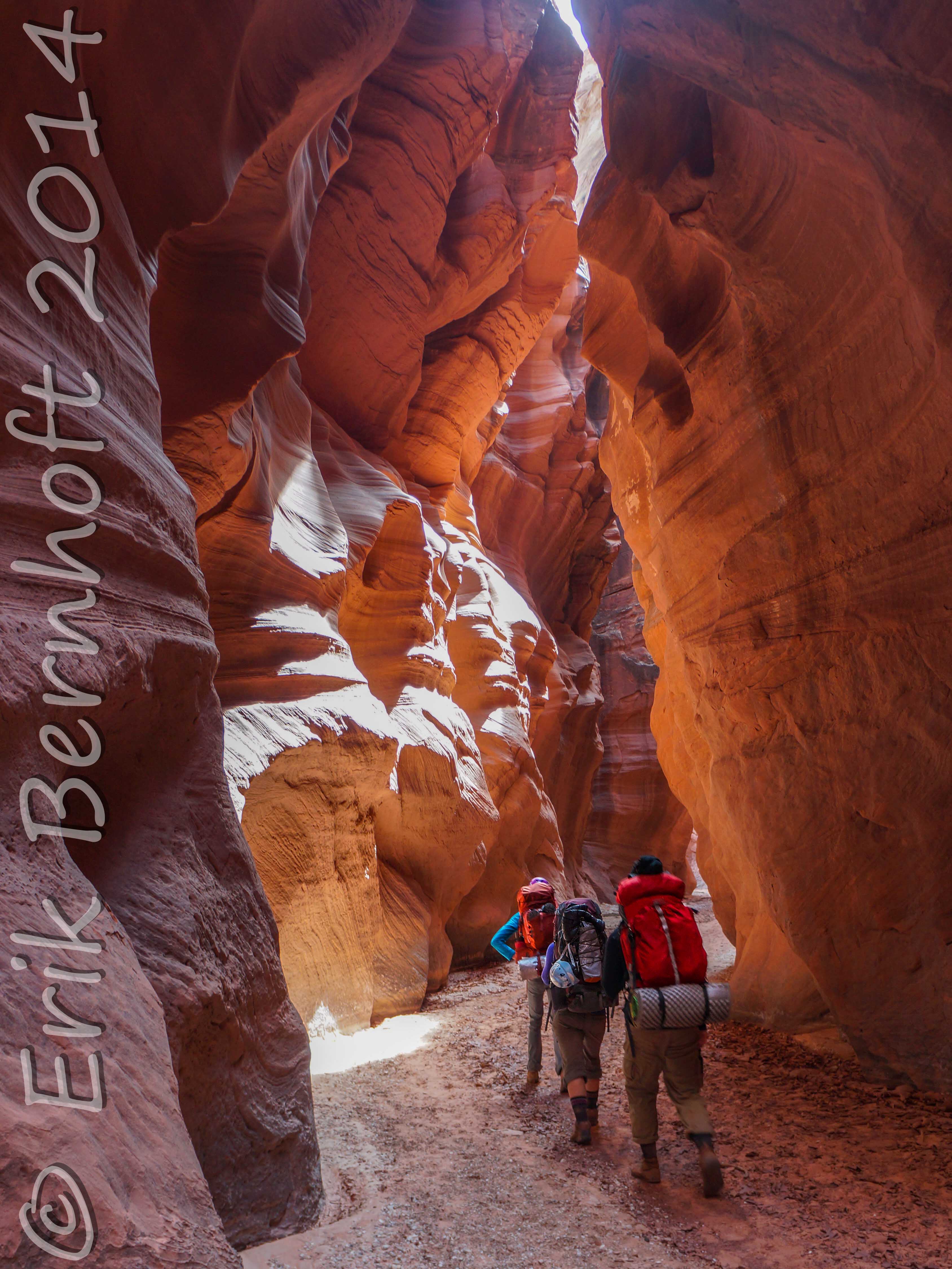
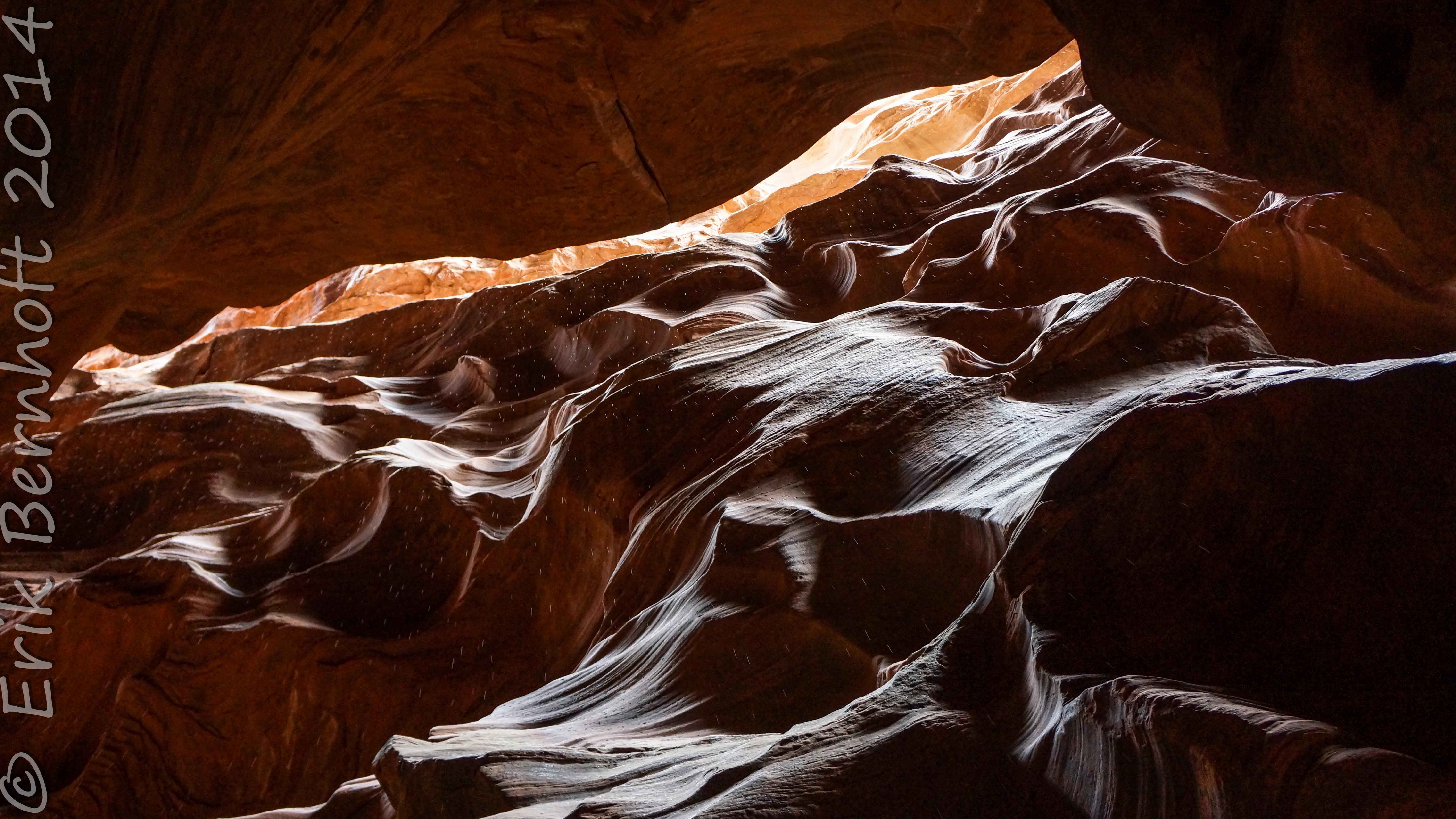
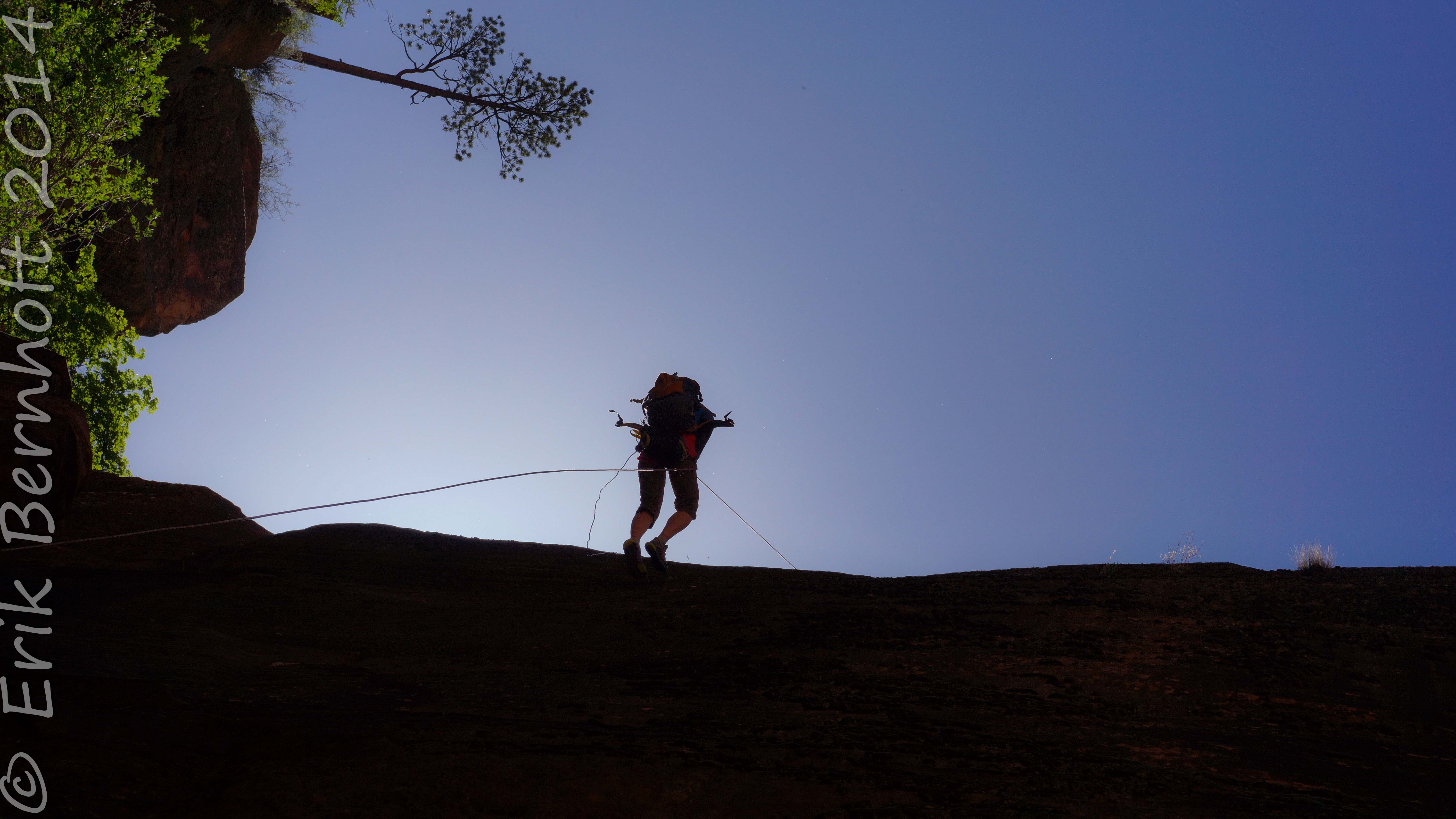
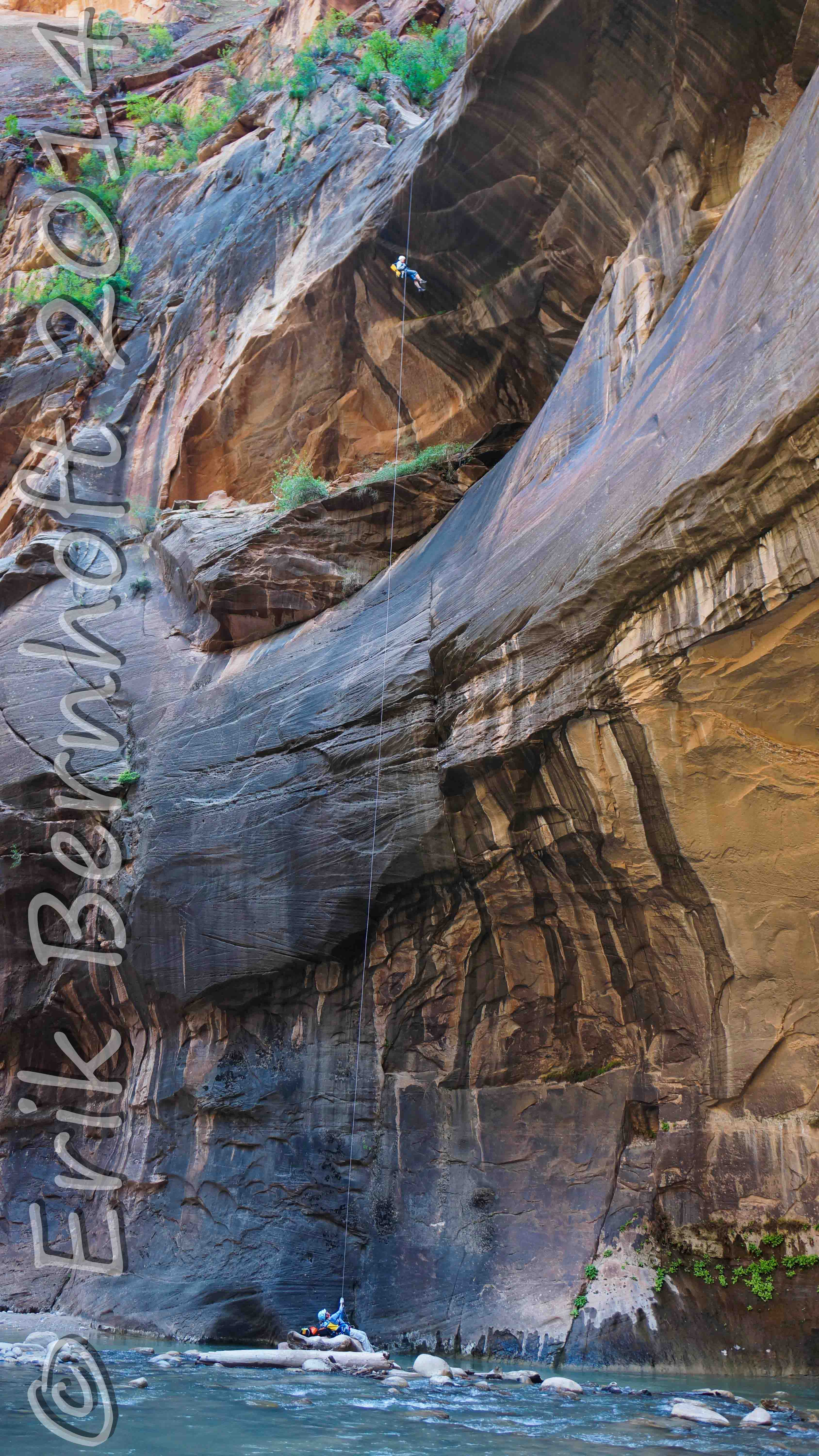
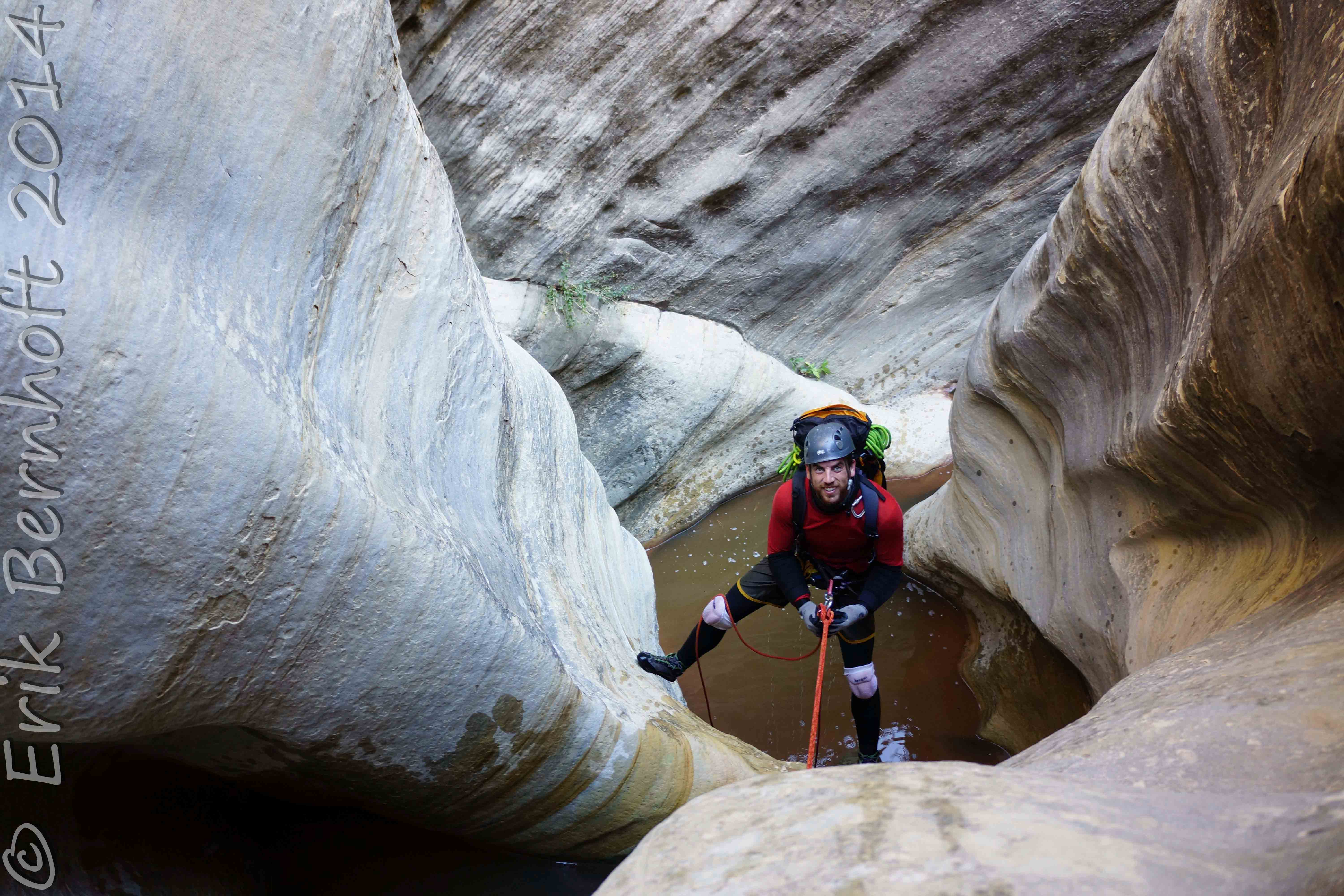
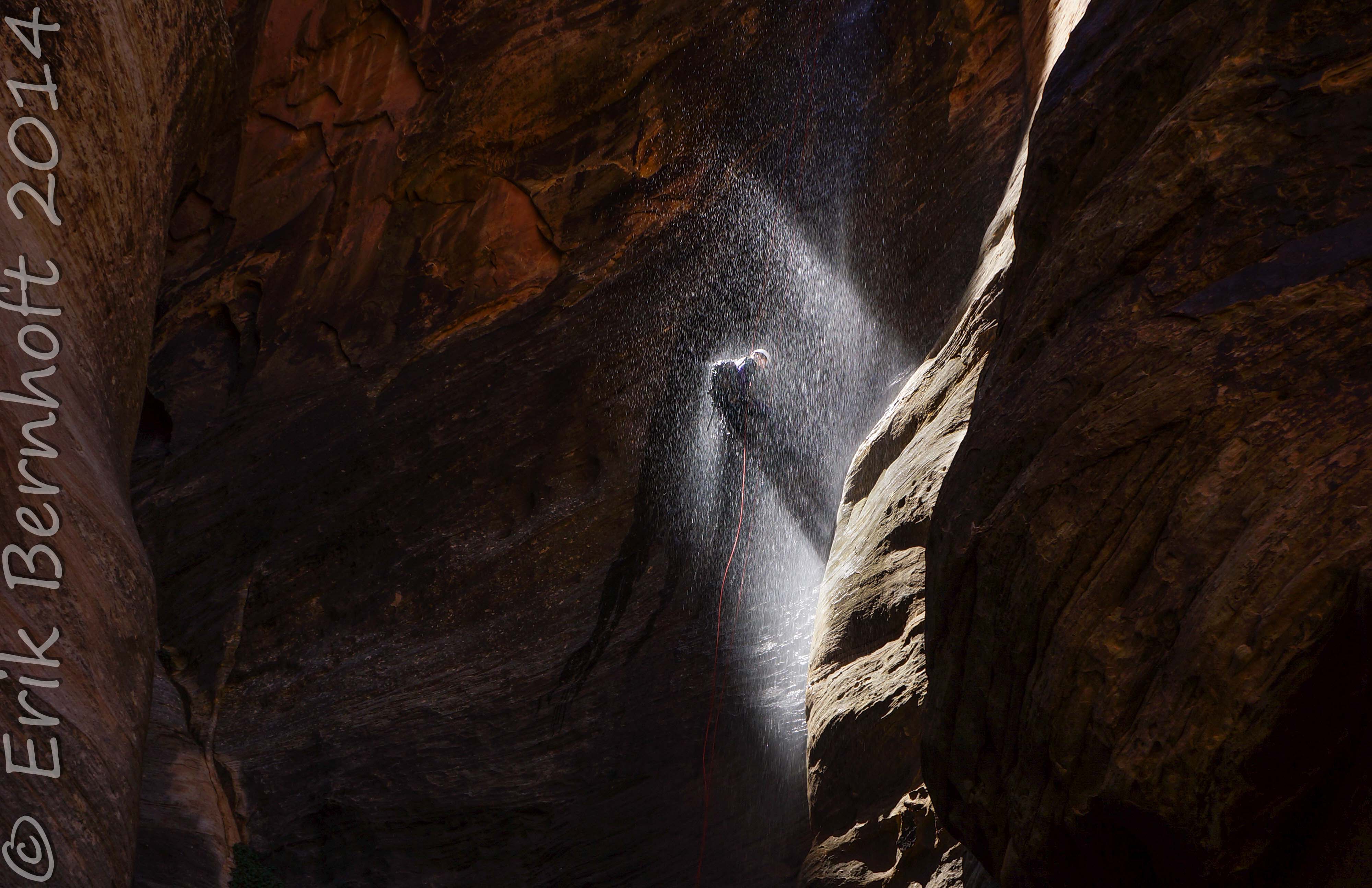
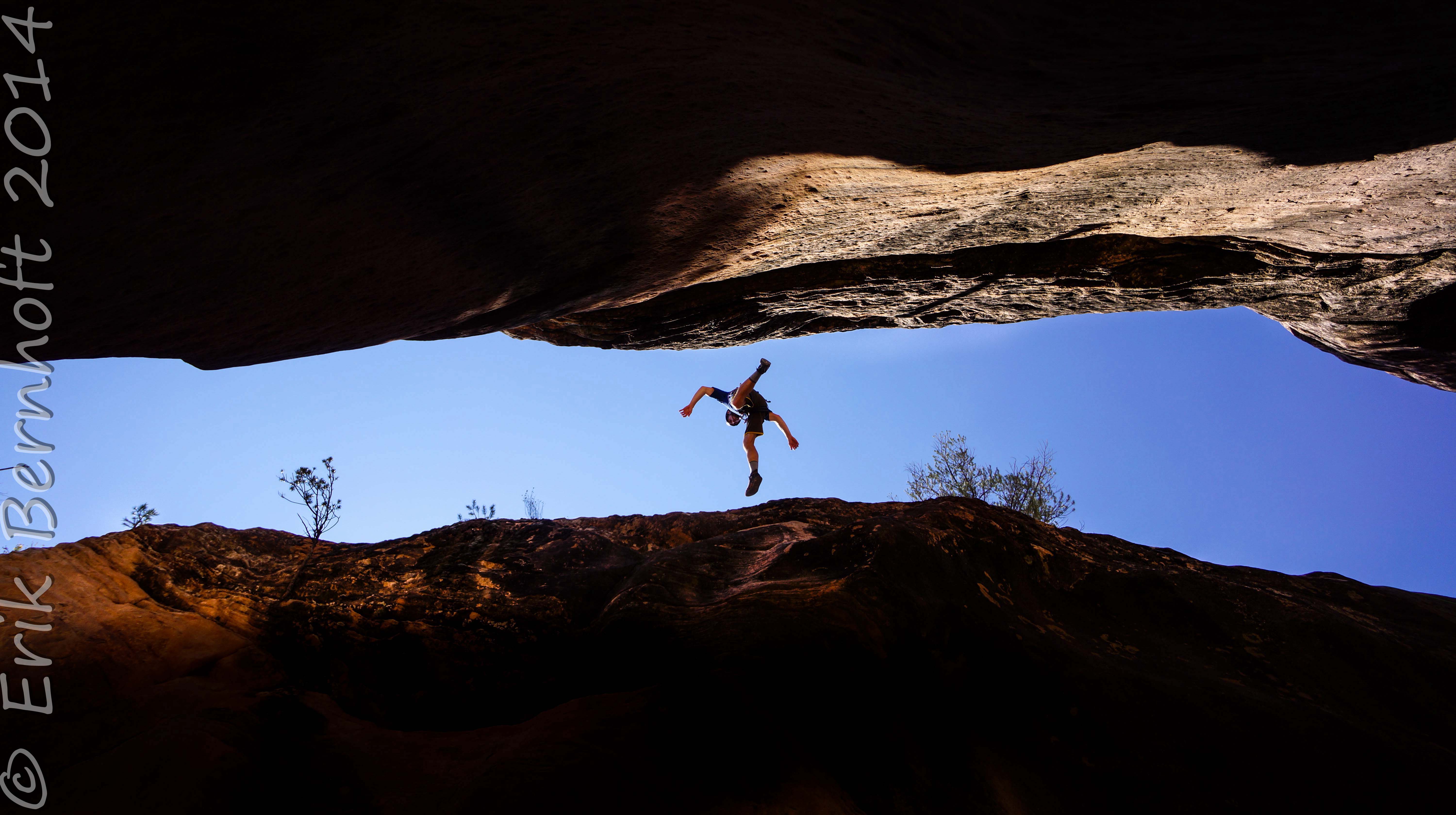
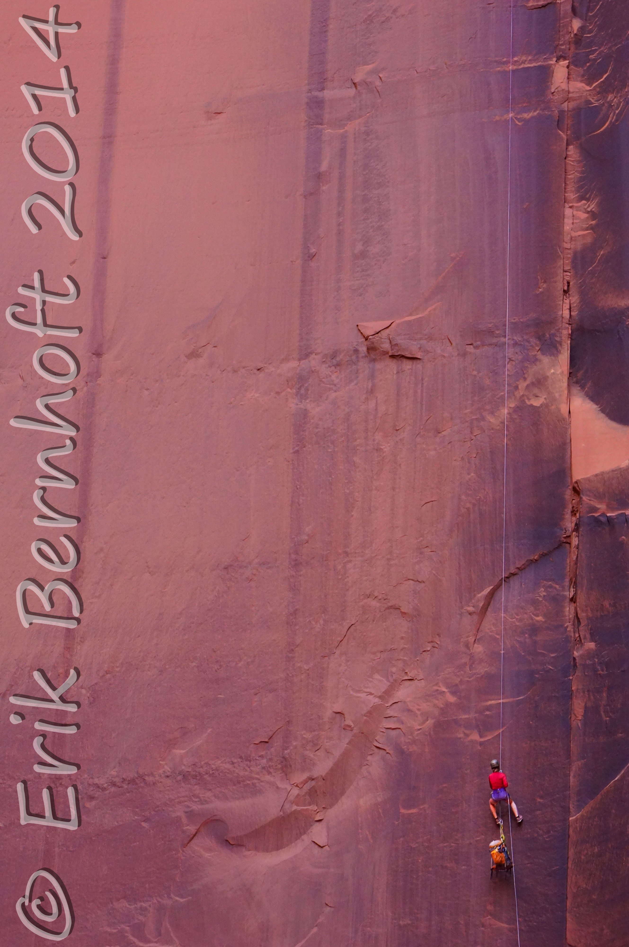

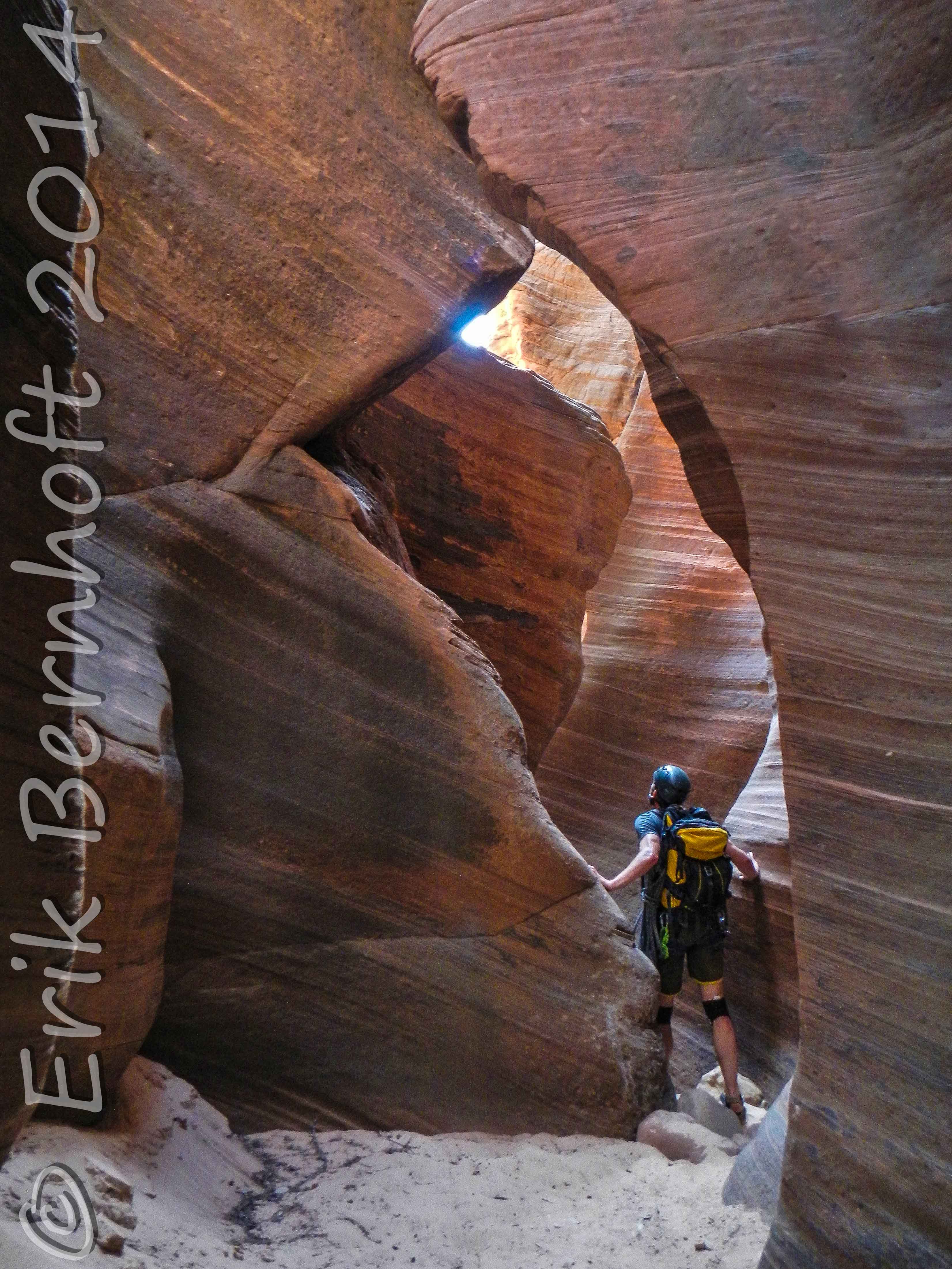
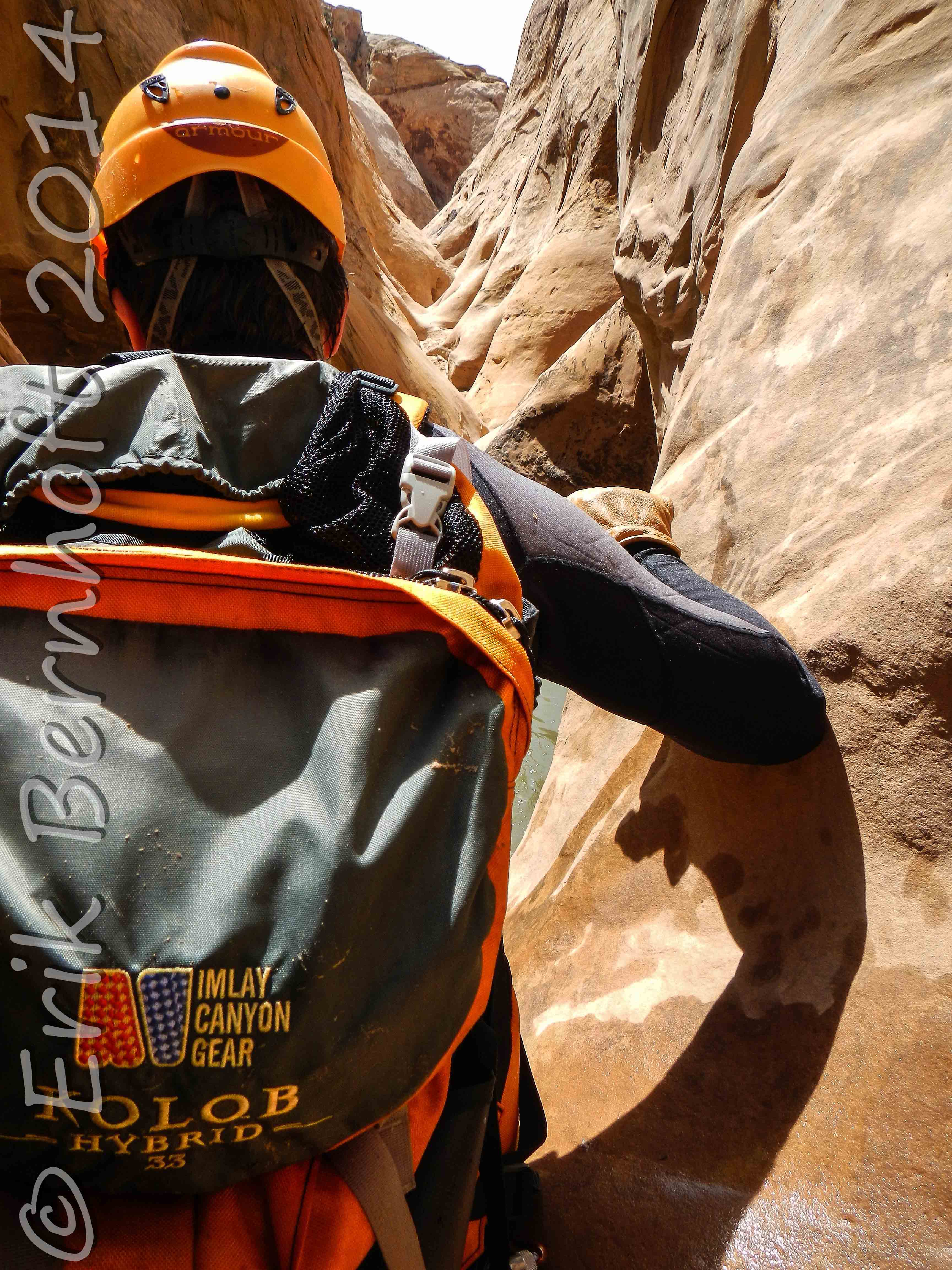
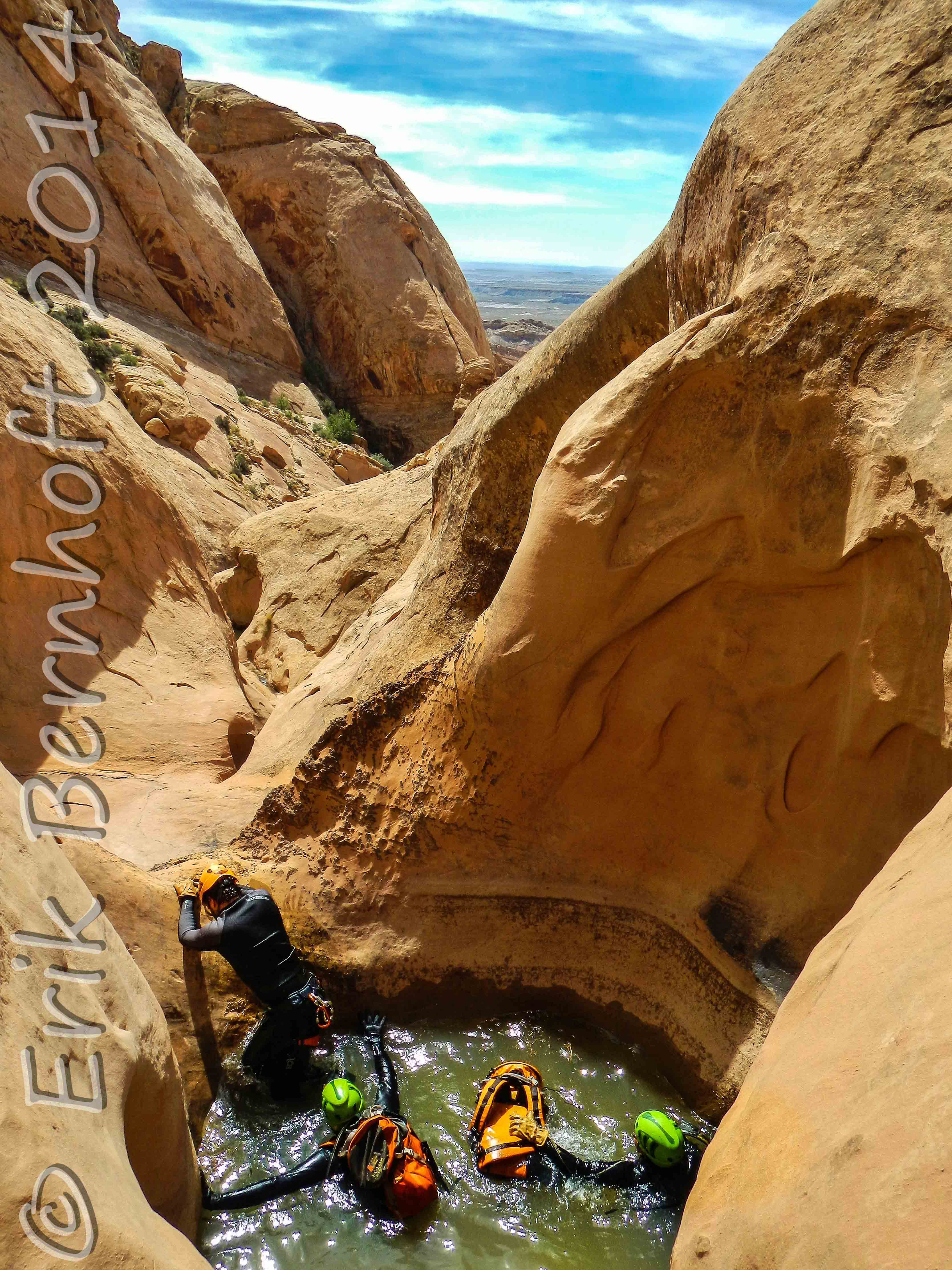
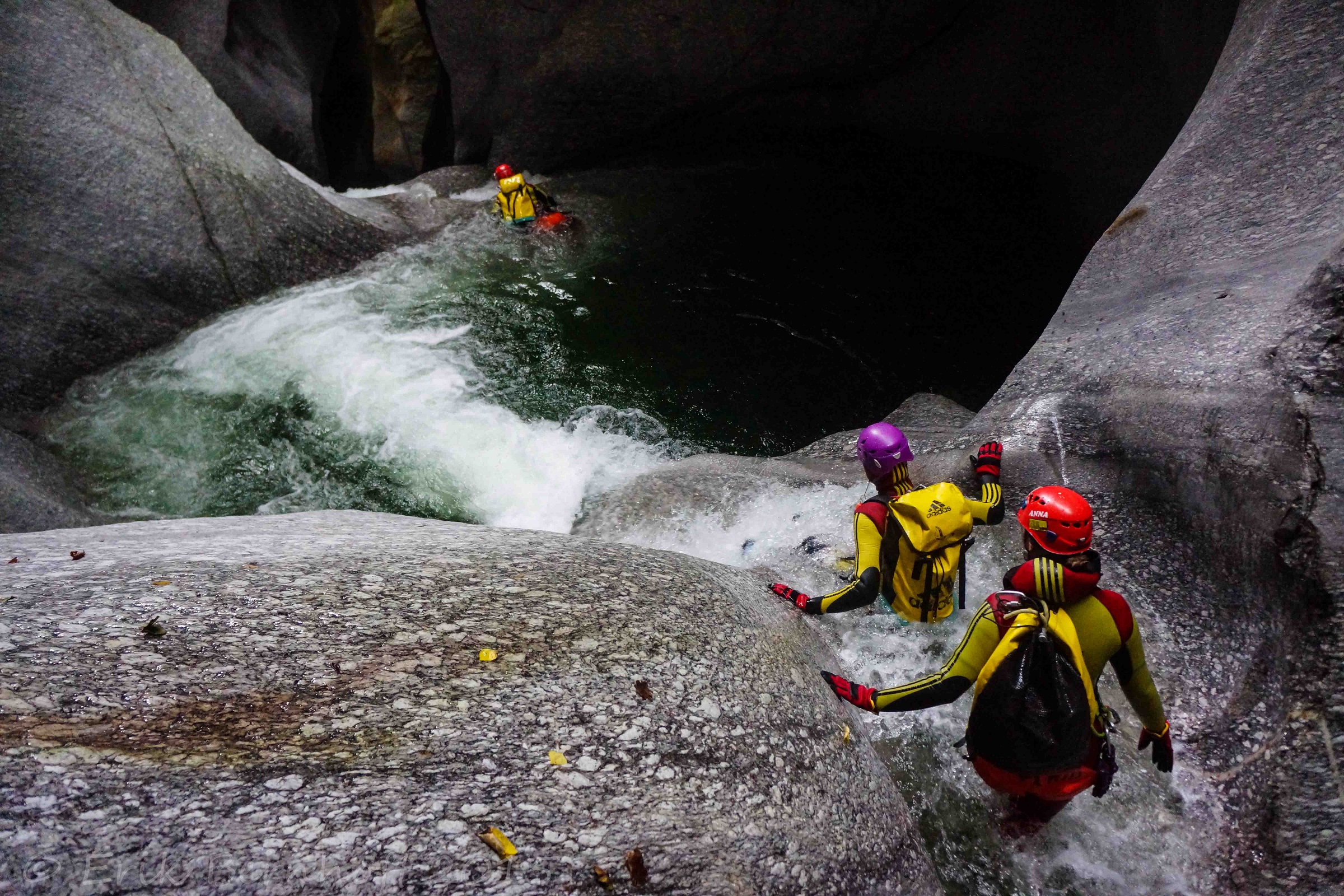
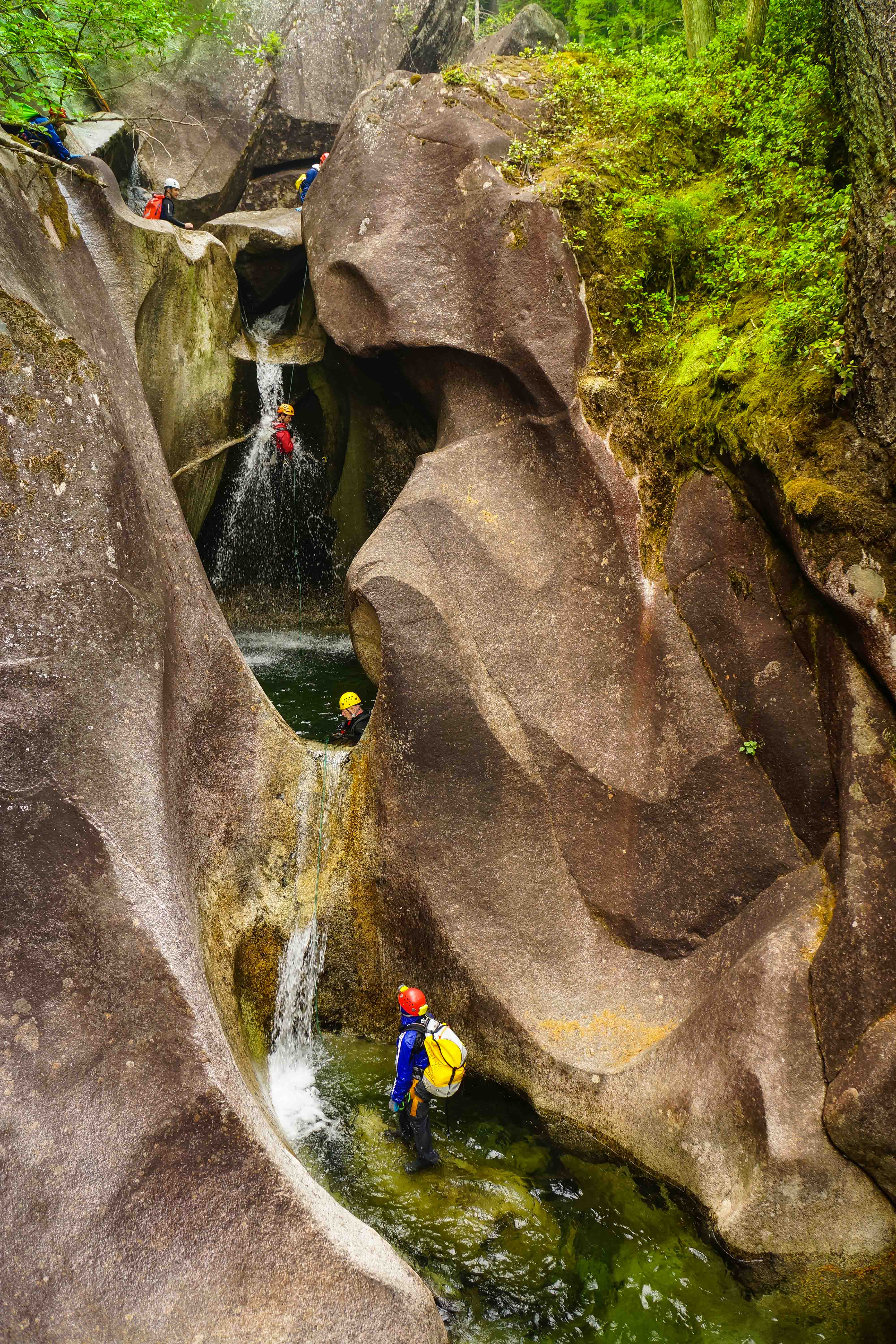
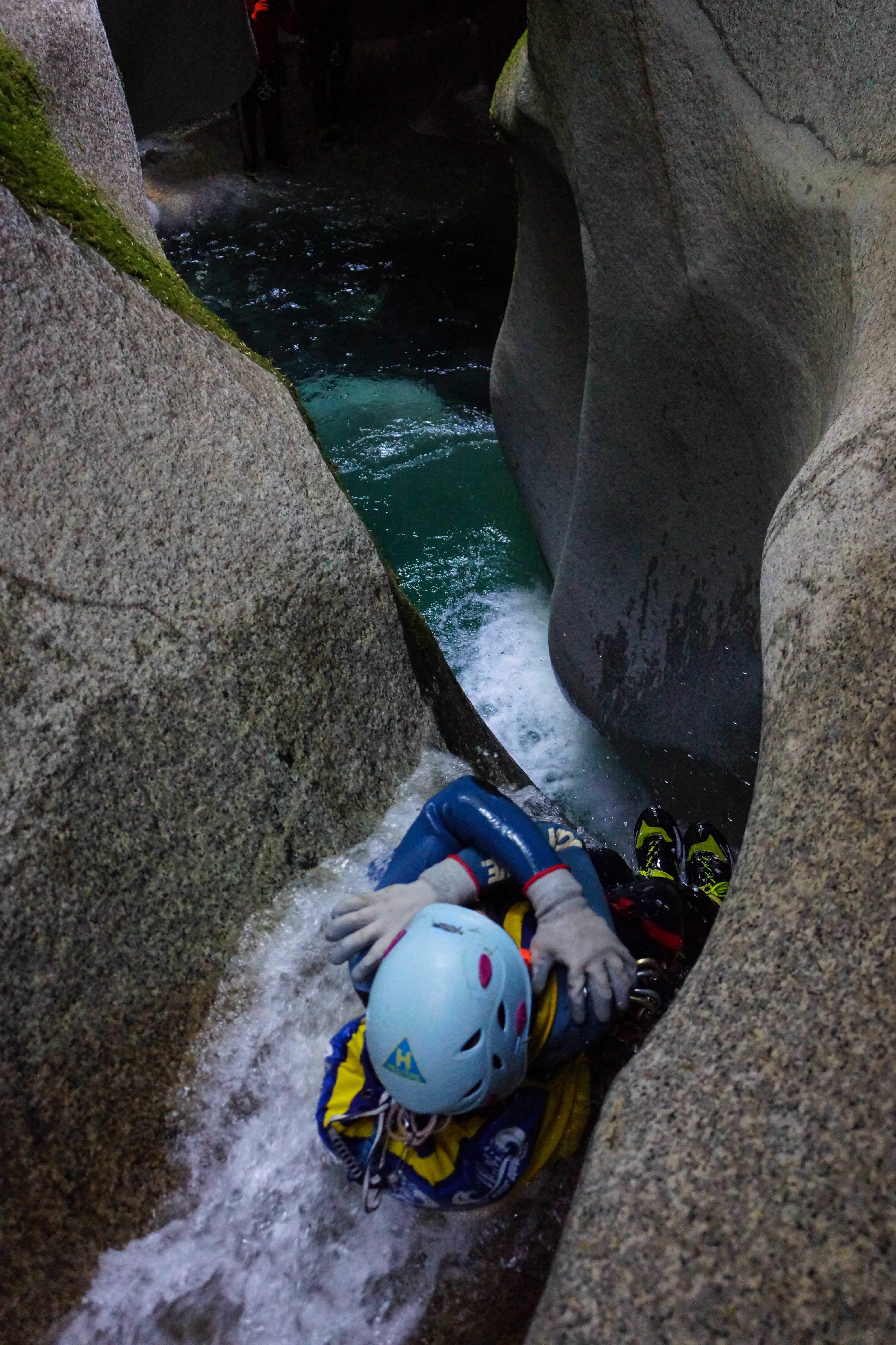
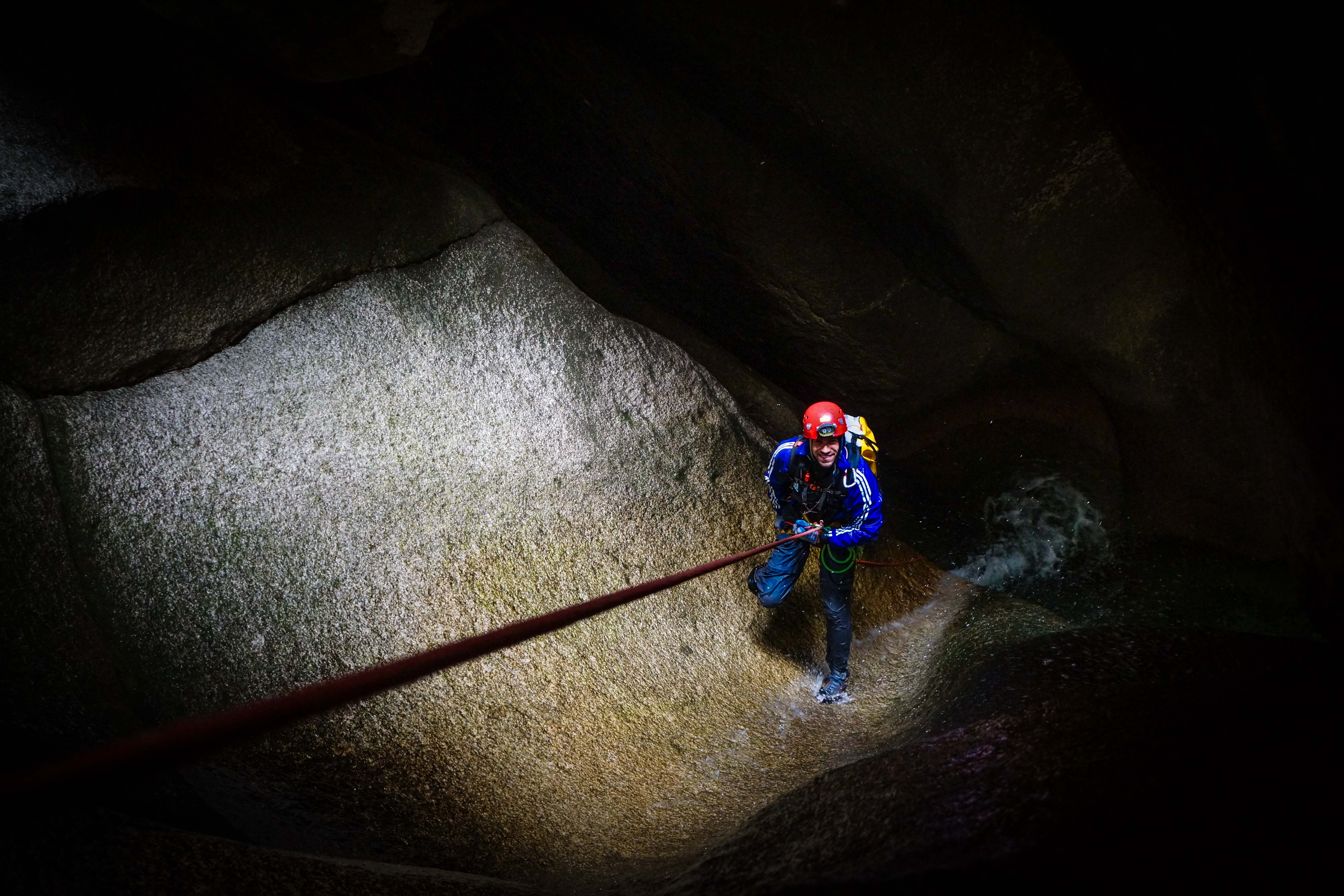
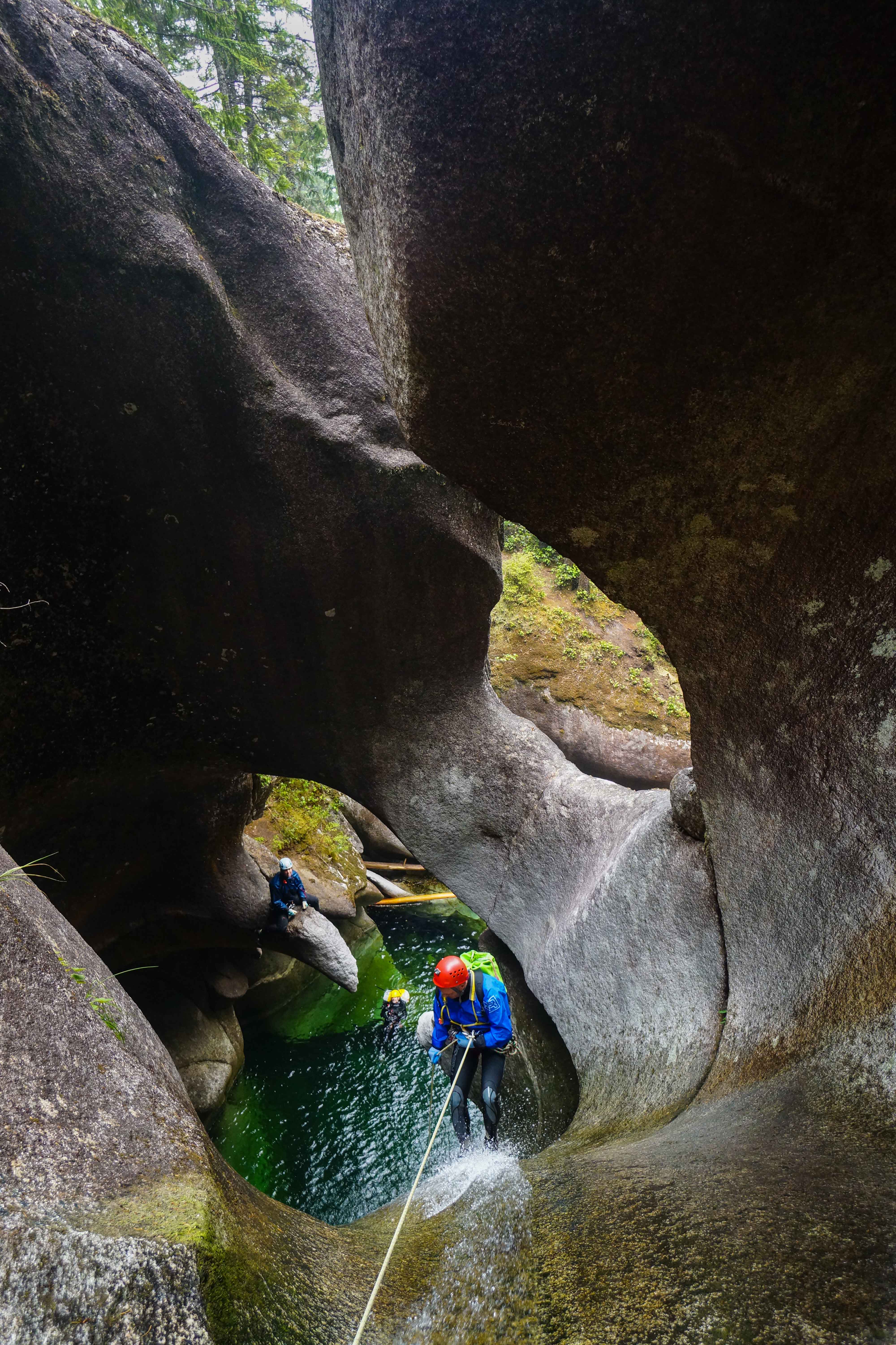
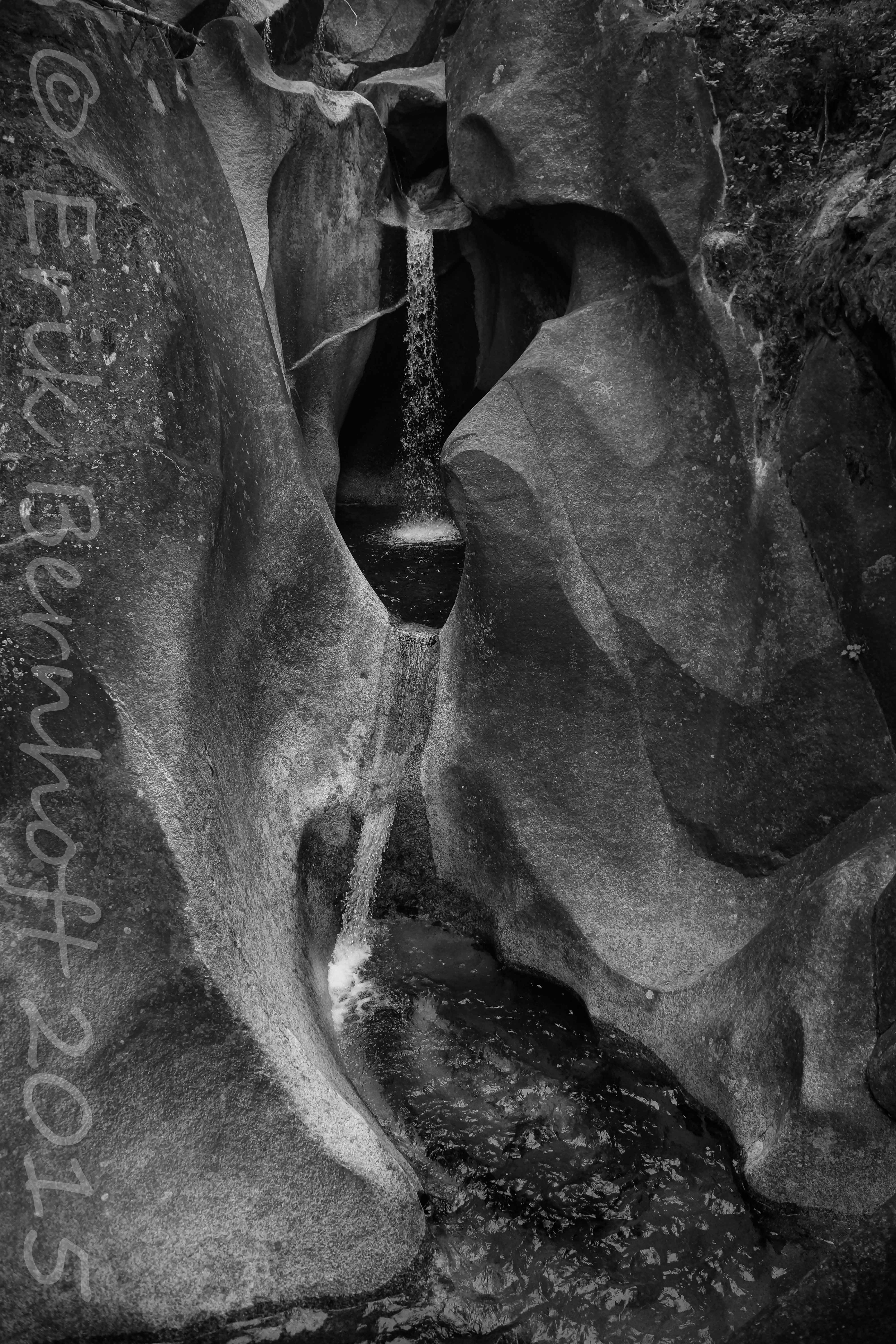
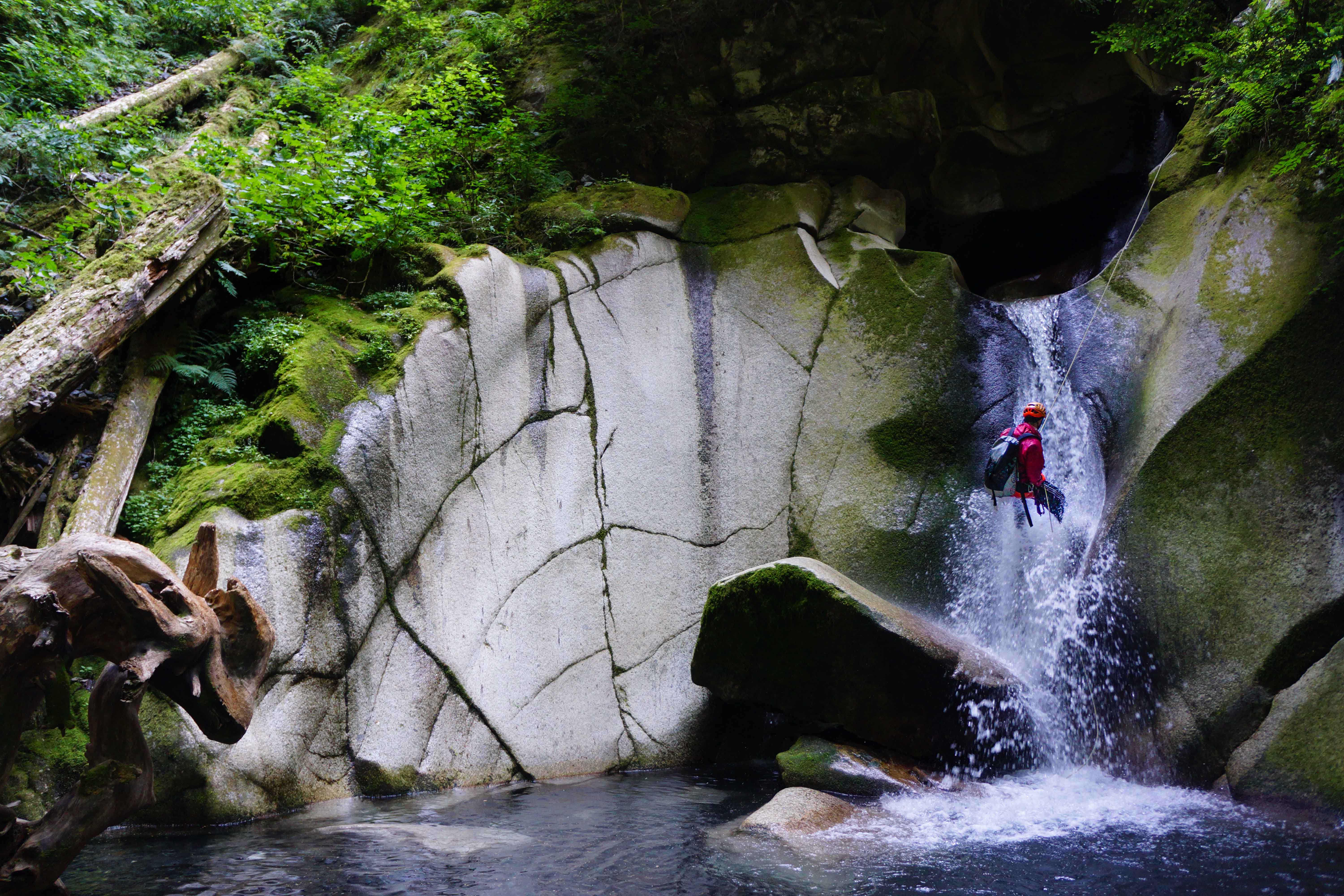
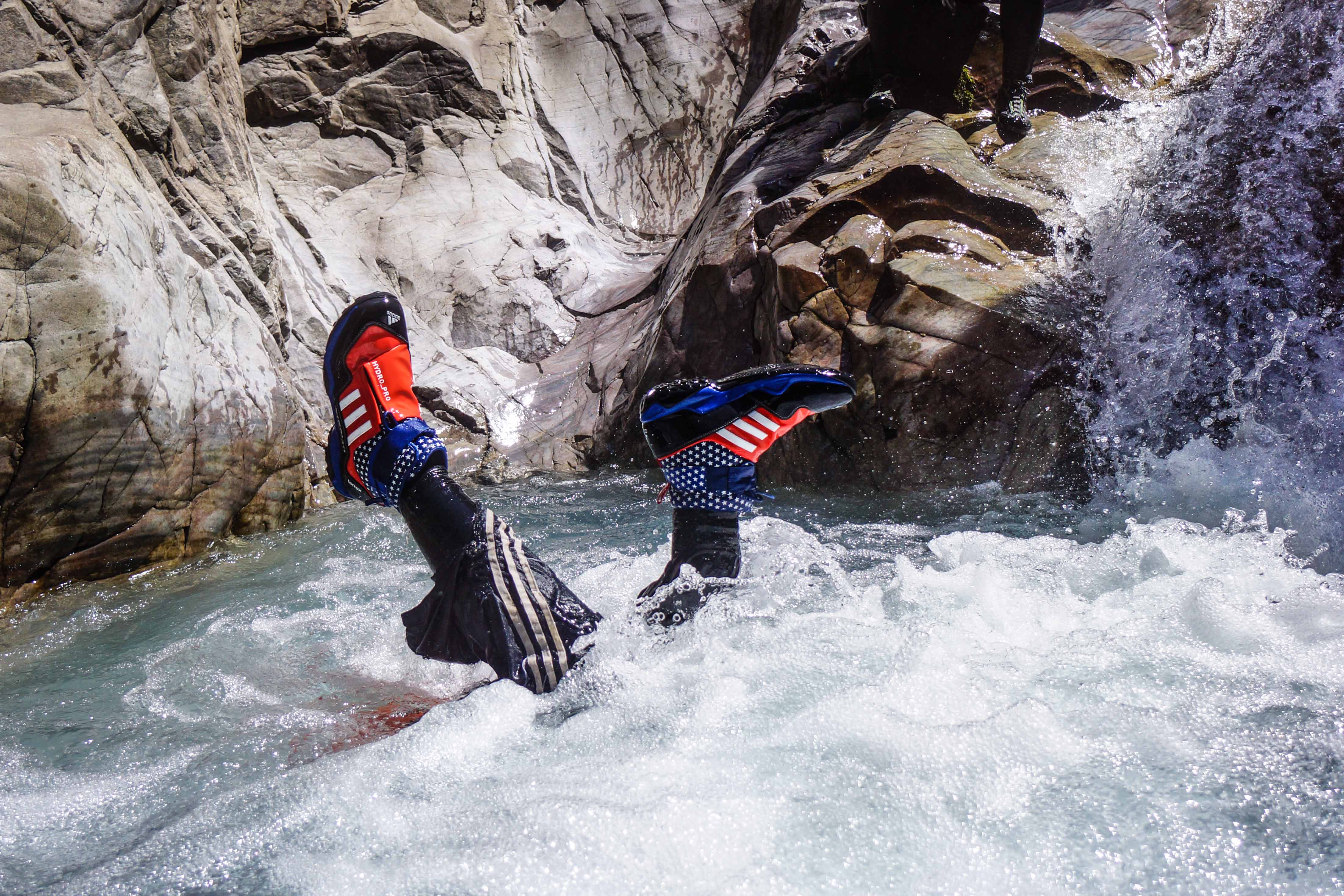
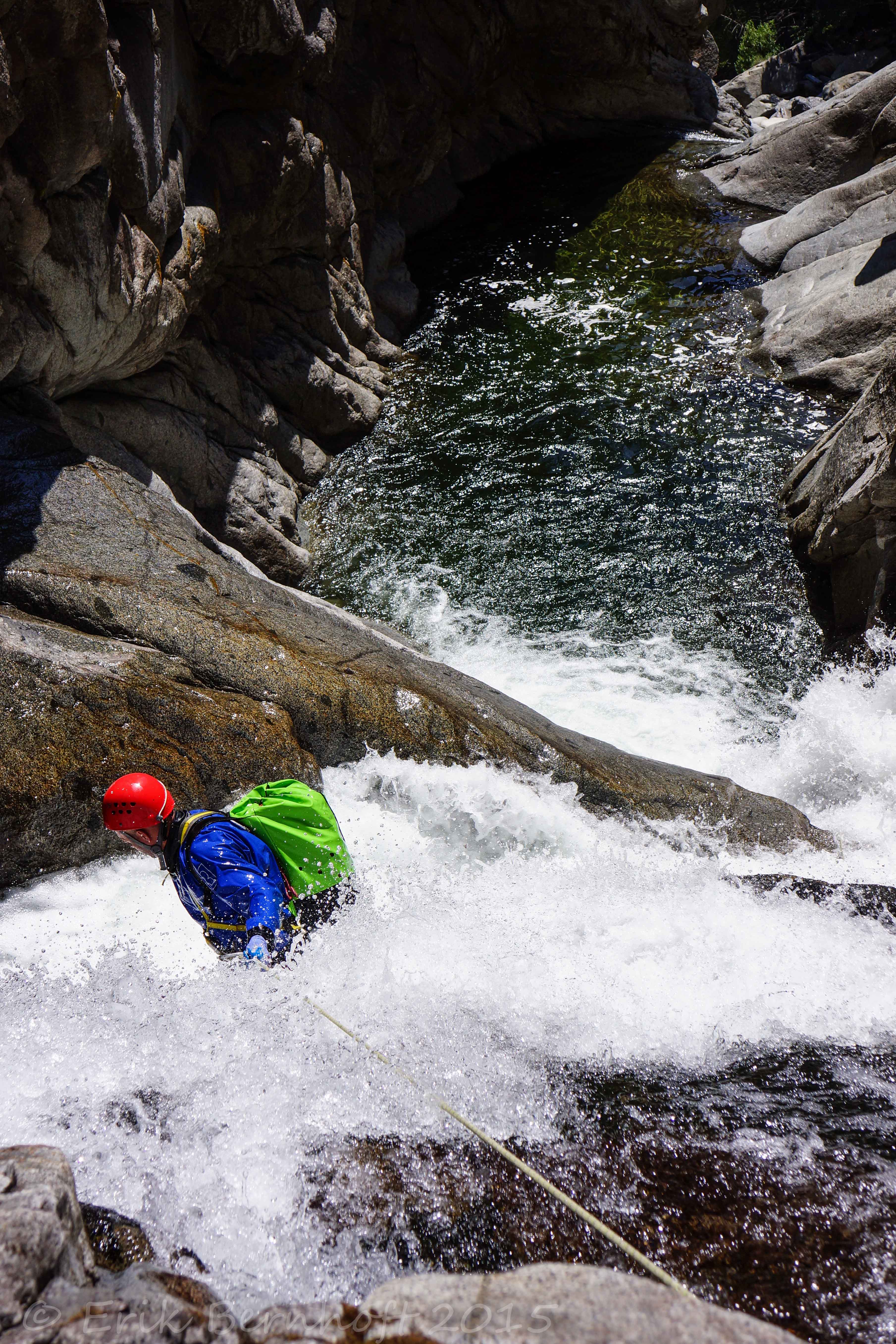
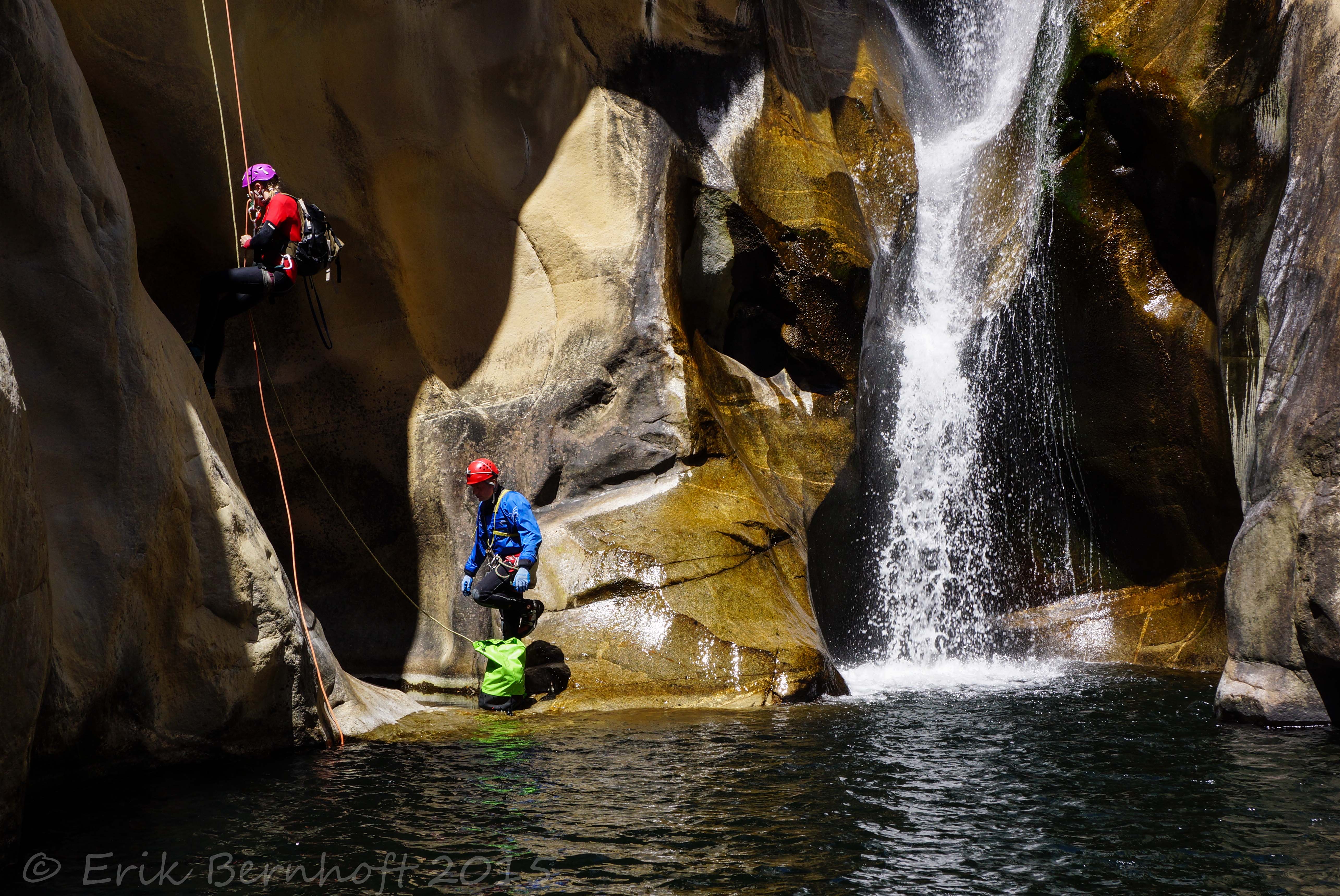
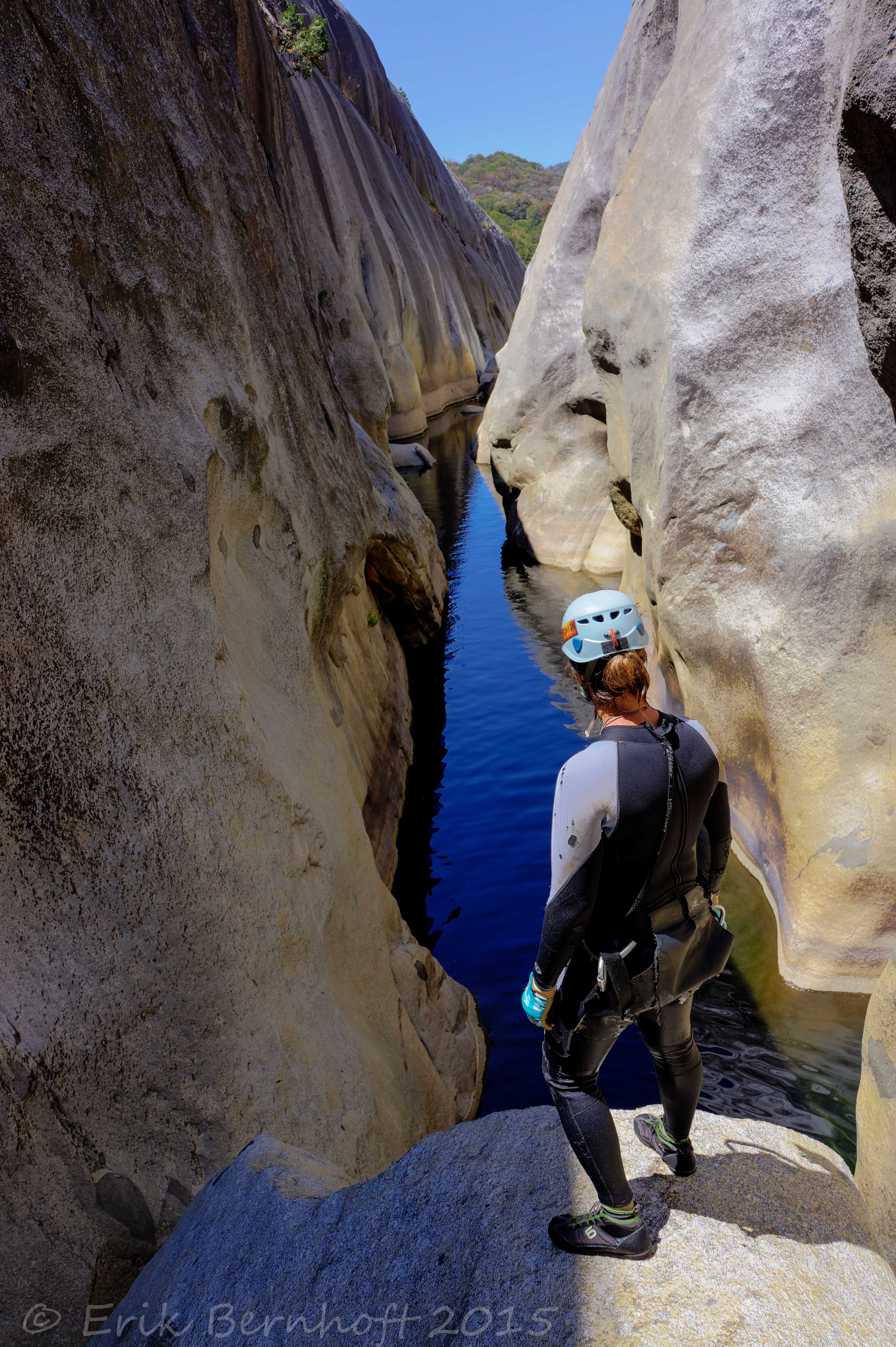
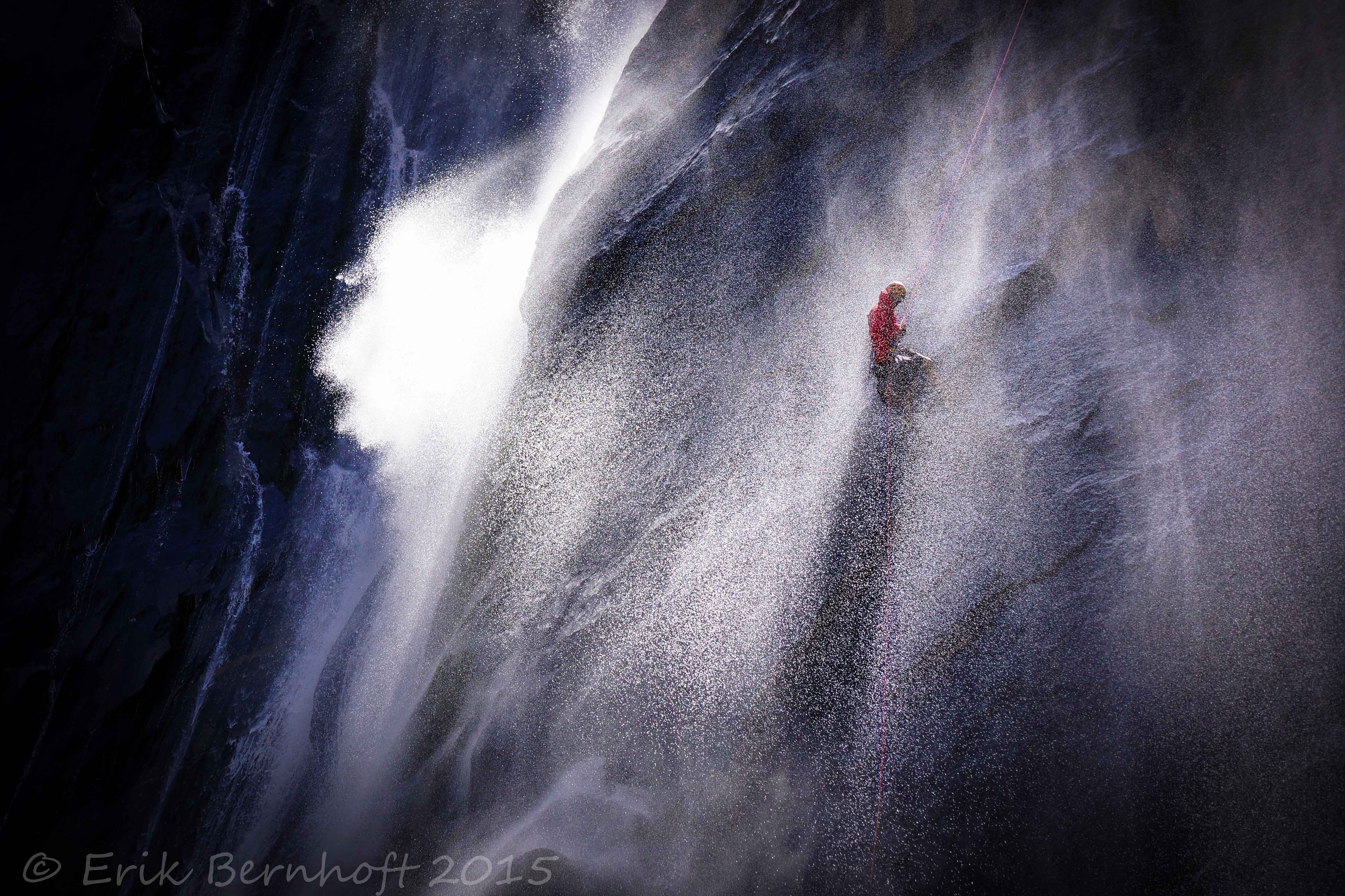
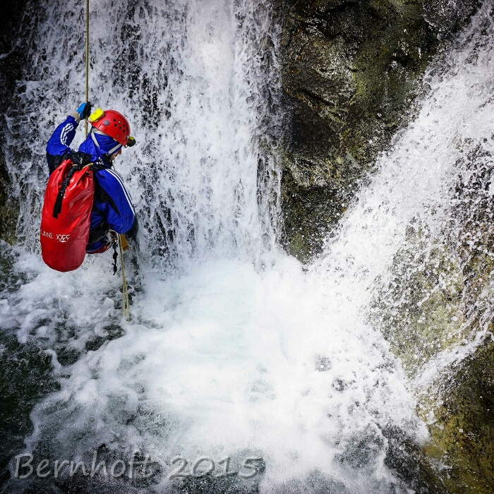
[/tab]
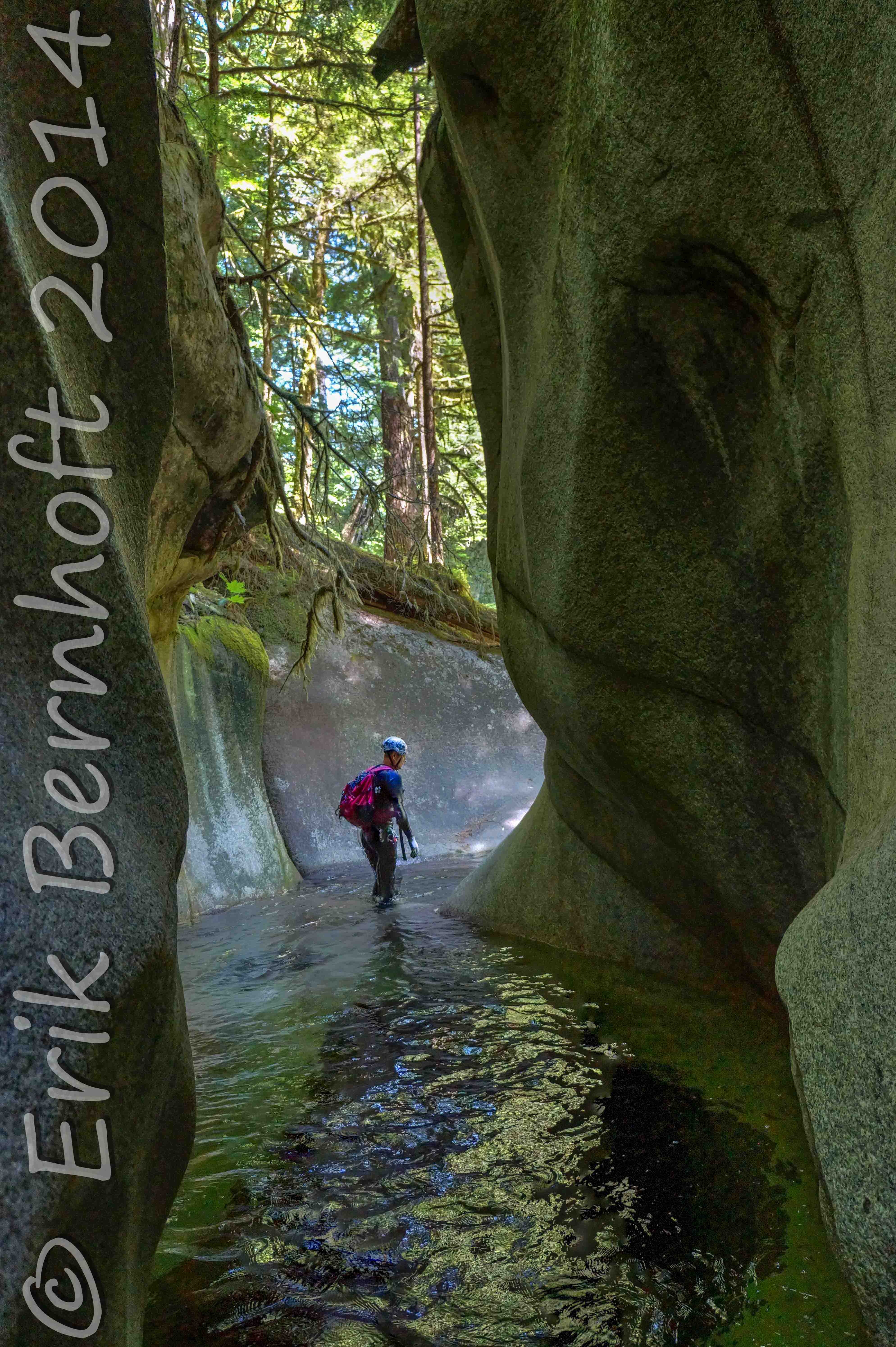
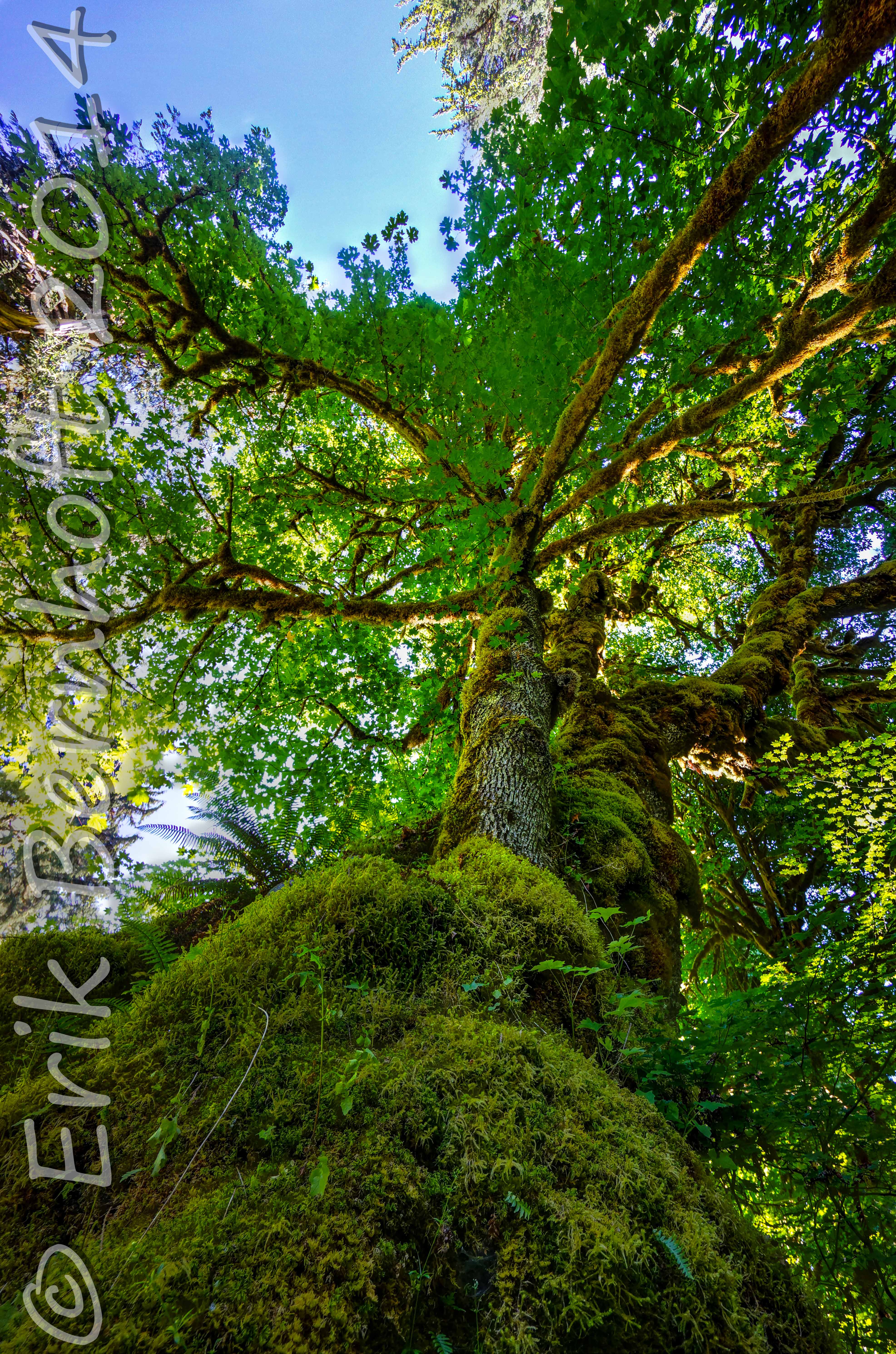
[tab title=”Forests”]
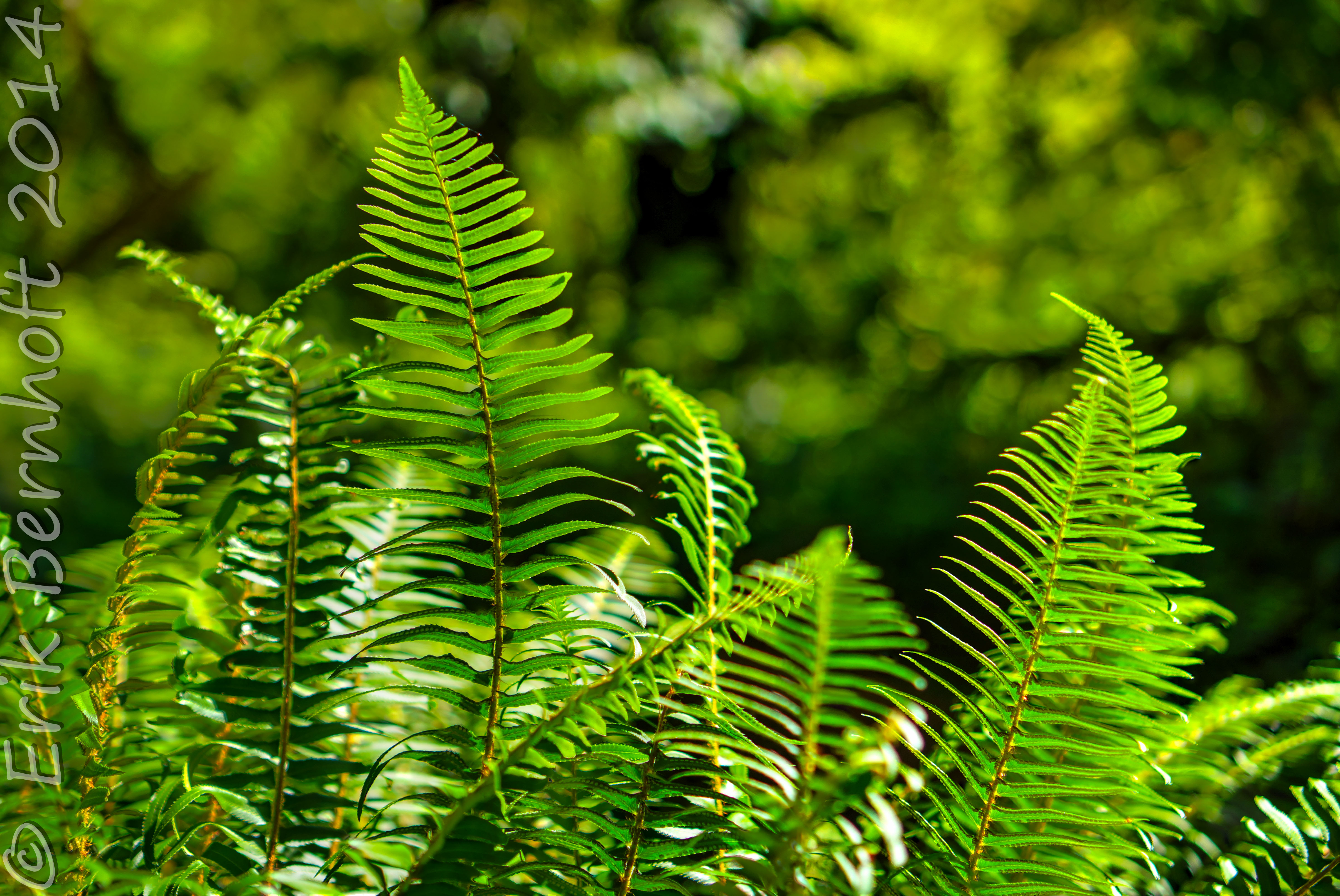
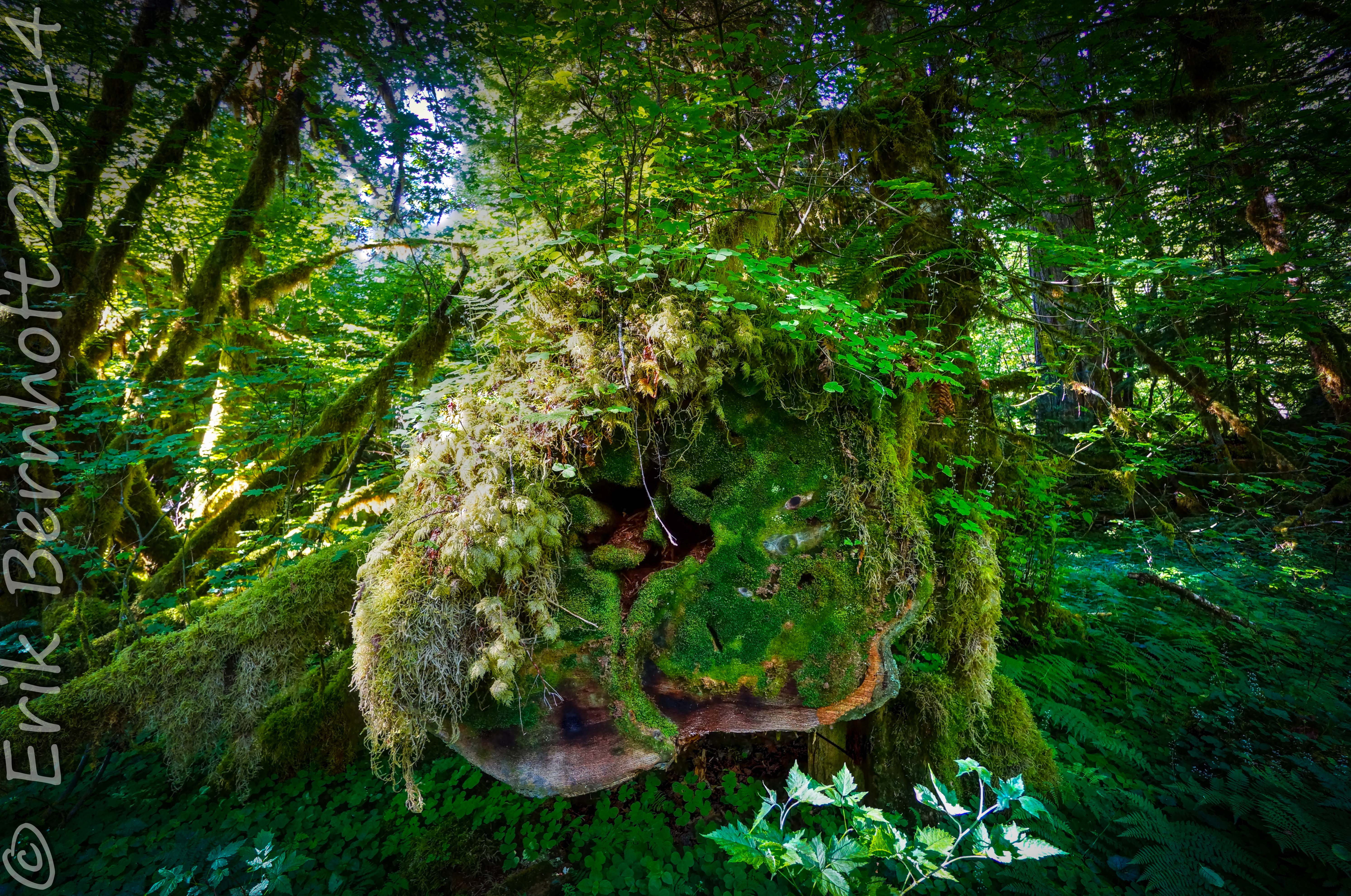


[/tab]
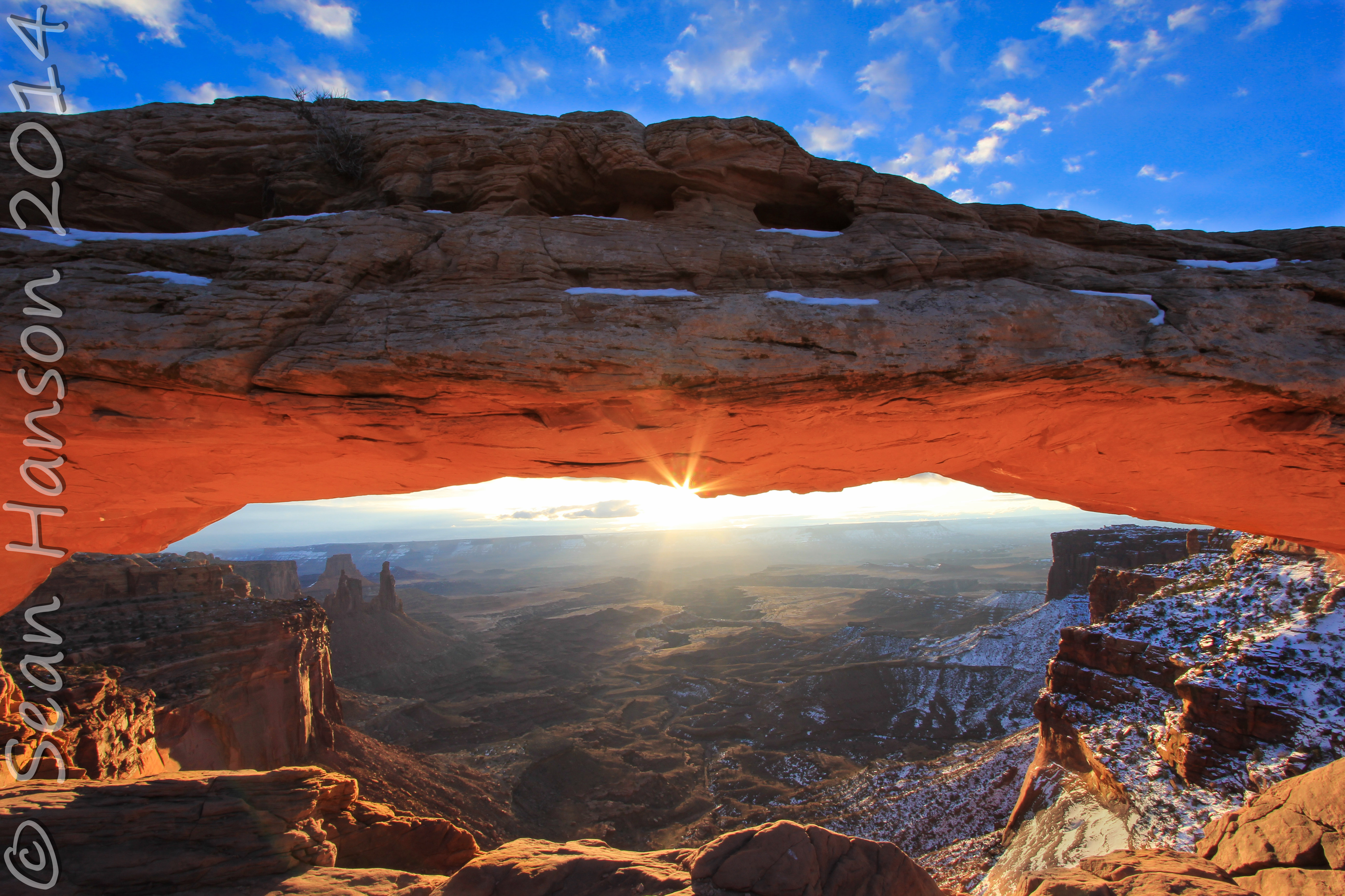
[tab title=”Panoramas”]
 enshrouded in clouds on the horizon and the pointy/elusive Mt. St-Elias (18,008') that marks the boundary between USA & Canada. Tana Glacier and Juniper Island in the foreground. Circa 2013.")
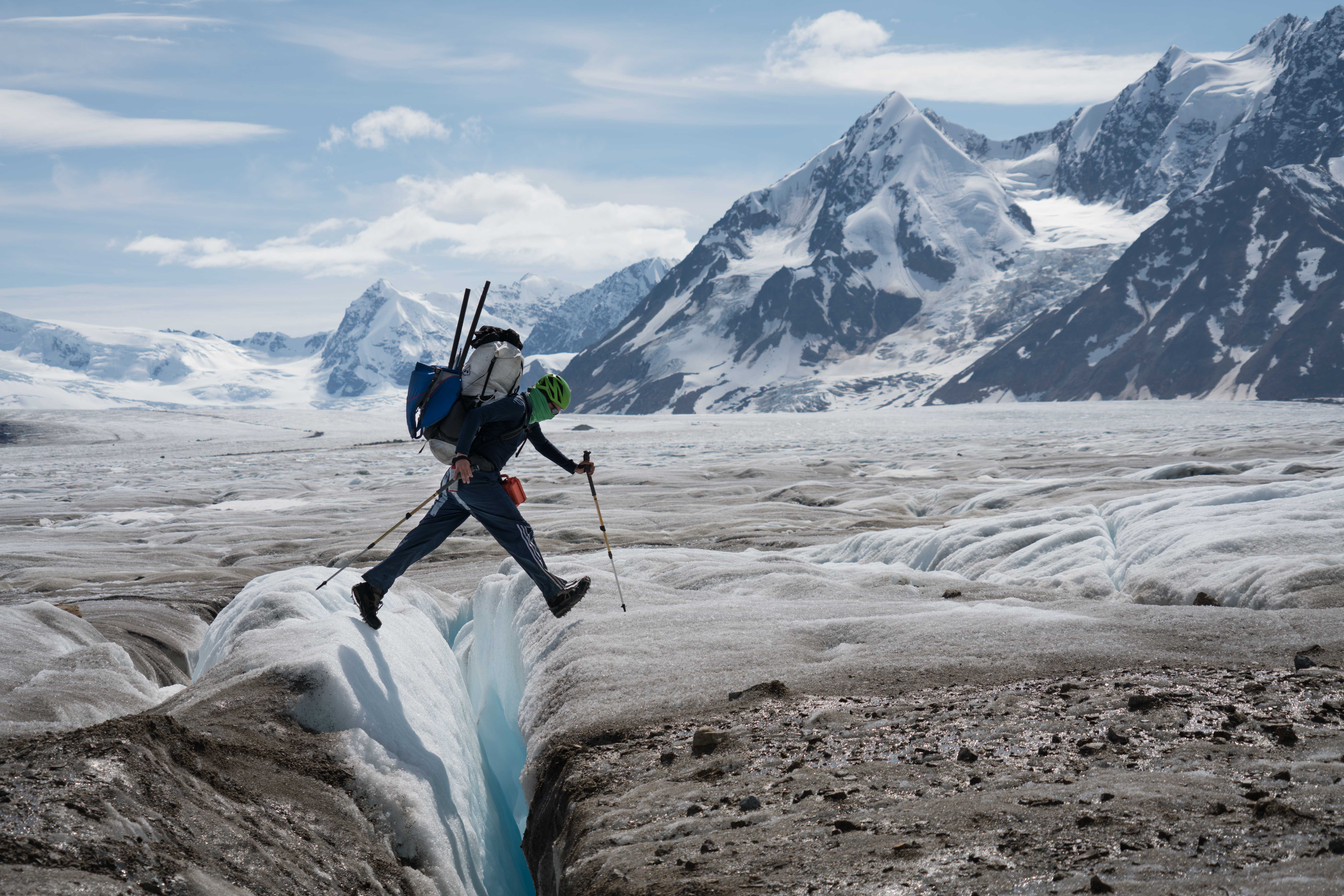
The BREATHTAKING 127mile long, 6 miles wide, and 3,000ft thick Bagley Icefields!!! Wrangell-St. Elias National Park, Alaska. I salvaged this panorama up from pictures I previously thought were unworkable. Note Mt Logan (19,850') enshrouded in clouds on the horizon and the pointy/elusive Mt. St-Elias (18,008') that marks the boundary between USA & Canada. Tana Glacier and Juniper Island in the foreground. Circa 2013.
 visible on the far left")
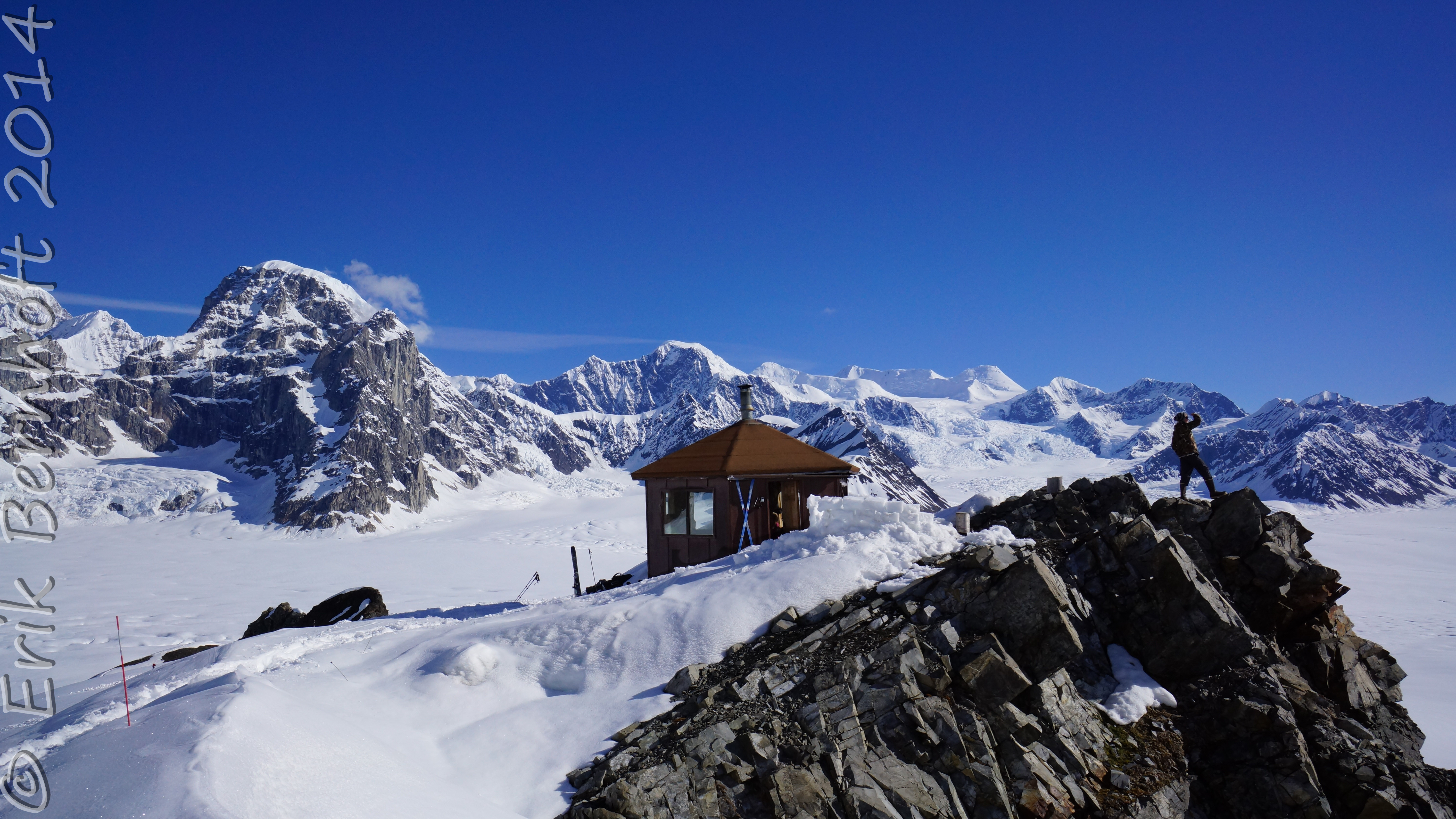
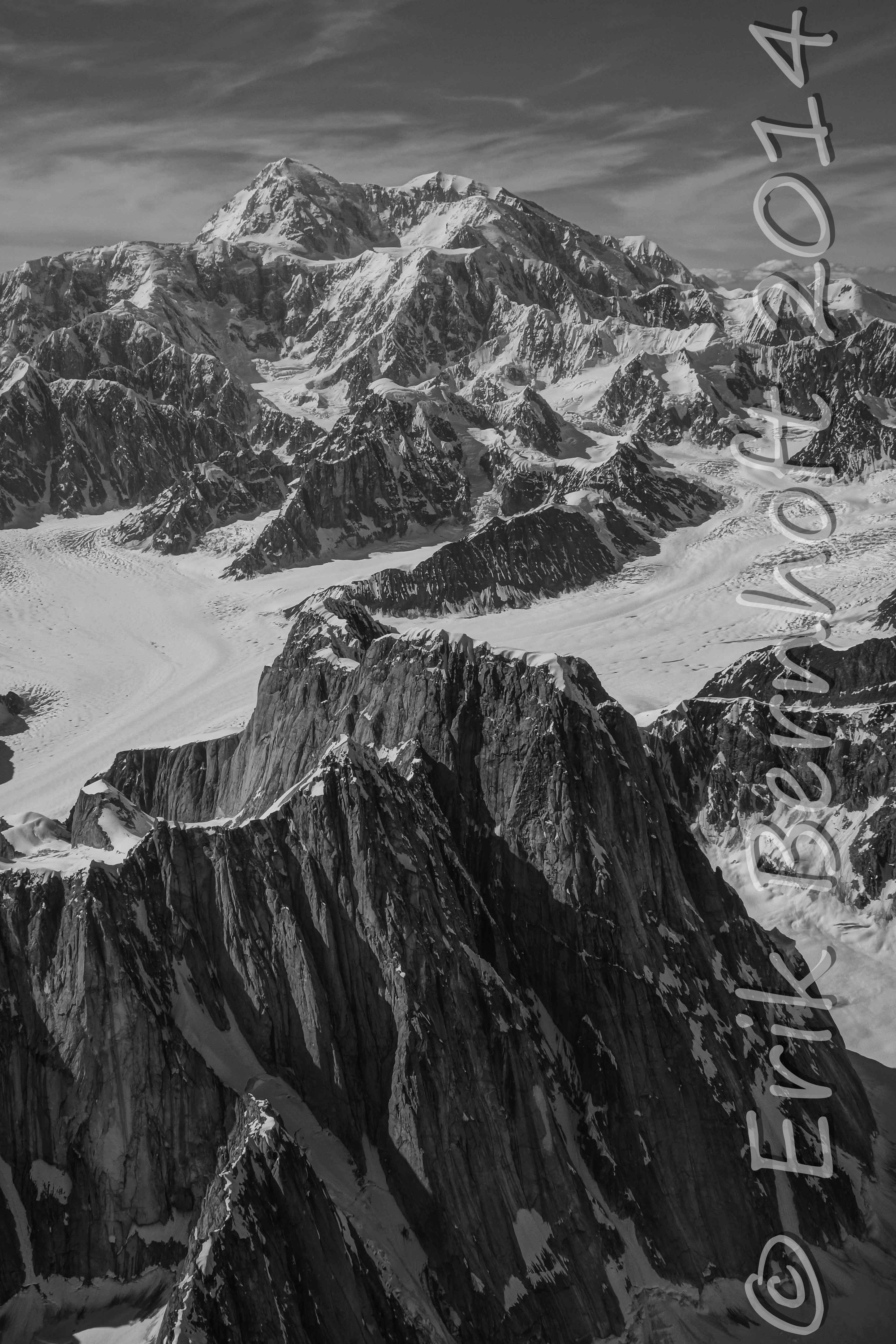
The Don Sheldon Mountain House before the MASSIVE Ruth Glacier Amphitheater and Mt. Dan Beard. Denali (20,322') visible on the far left
 and Denali-right (20,237') tower above the Ruth Glacial amphitheater and the Alaska Range. 2013.")
Foraker-left (17,402') and Denali-right (20,237') tower above the Ruth Glacial amphitheater and the Alaska Range. 2013.
[/tab]
[tab title=”Other”]


[/tab]
[/tab_set]
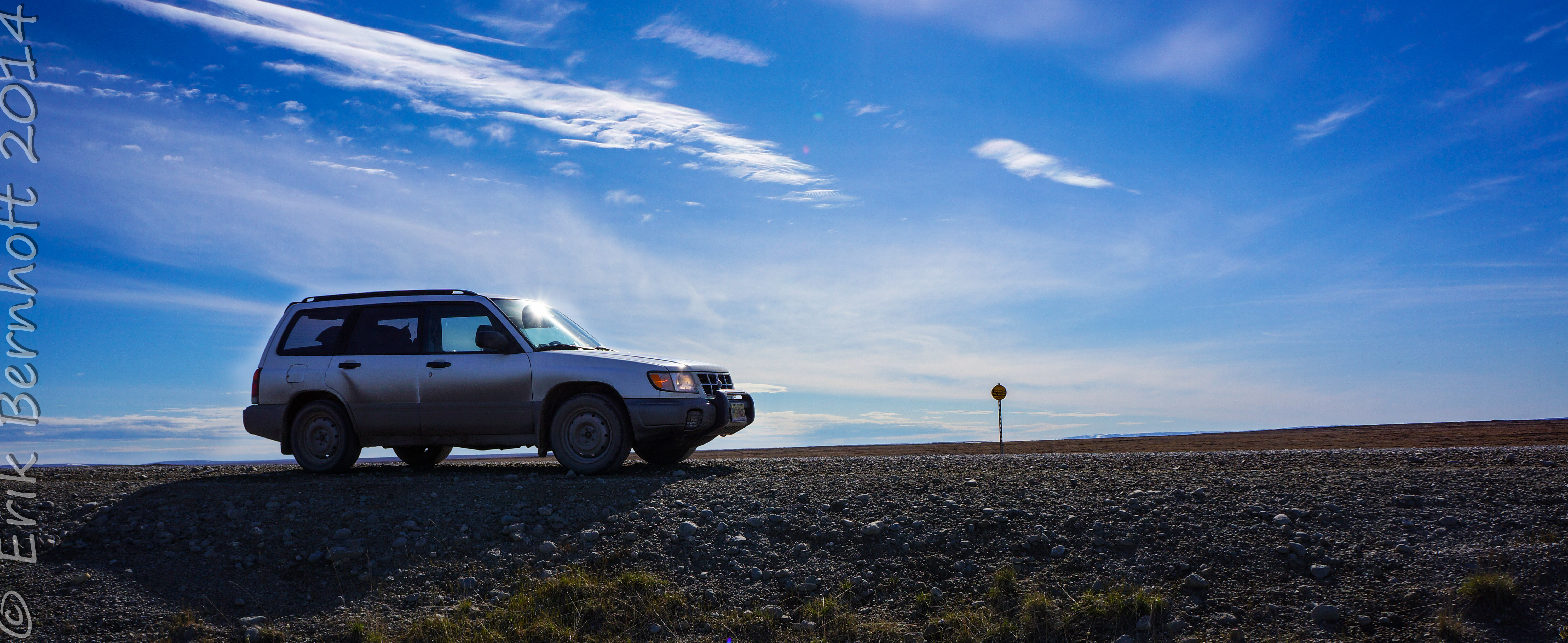
[metaslider id=911]
[/lightbox_gallery]
[metaslider id=865]
copyright Erik Bernhoft 2014


